Mojave Books, Mojave Road, Mojave Trails


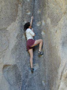
Mojave National Preserve is a United States National Preserve located in the Mojave Desert of San Bernardino County, California, in between Interstate 15 and Interstate 40. The desert preserve was established in 1994, with the passage of the California Desert Protection Act by the US Congress. Previously, it was the East Mojave National Scenic Area, under the jurisdiction of the Bureau of Land Management.
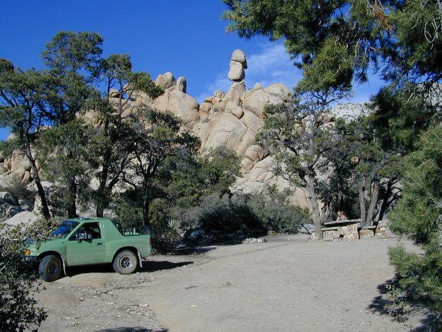
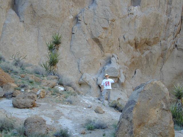
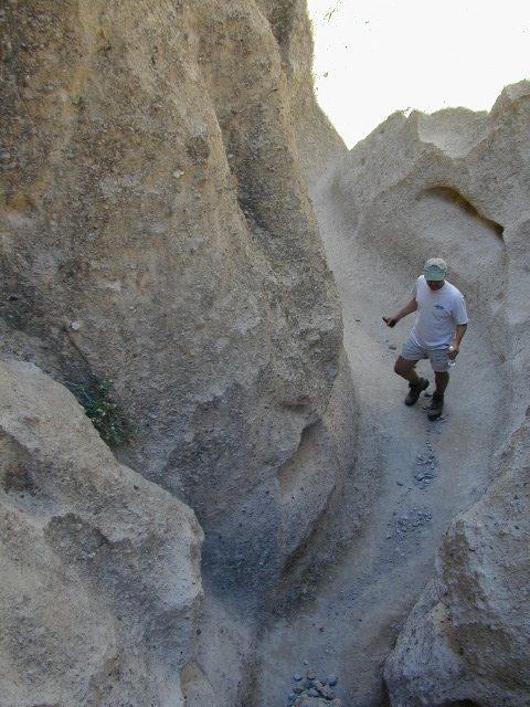
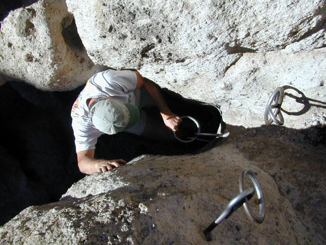
Natural features include the Kelso Dunes, the Marl Mountains and the Cima Dome, as well as volcanic formations such as Hole-in-the-Wall and the Cinder Cone Lava Beds. The preserve encloses Providence Mountains State Recreation Area and Mitchell Caverns Natural Preserve, which are both managed by the State Park system – California Department of Parks and Recreation.
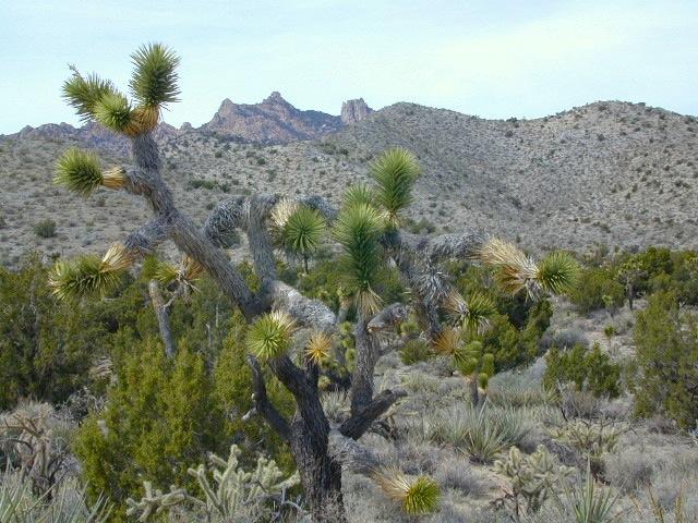
Impressive Joshua tree forests are found in parts of the preserve. The forest covering Cima Dome and the adjacent Shadow Valley is the largest and densest in the world. In August of 2020 a wildfire destroyed 1.3 million Joshua Trees around Cima Dome.
The ghost town of Kelso is found in the preserve, with the defunct railroad depot serving as the Visitor Center. The preserve is commonly traversed by 4 wheel drive vehicles traveling on the historic Mojave Road.
Climate in the preserve varies greatly. Summer temperatures average 90 °F, with highs exceeding 105 °F. Elevations in the preserve range from 7,929 feet at Clark Mountain to 880 feet near Baker, CA. Annual precipitation varies from 3″ near Baker, to almost 9″ in the mountains. About 25% of precipitation comes from summer thunderstorms. Snow is often found in the mountains during the winter.
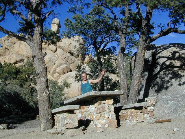
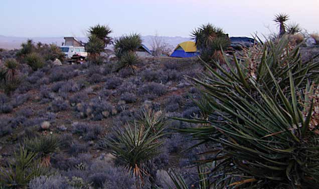
Mojave Desert Camping, New York Mts.