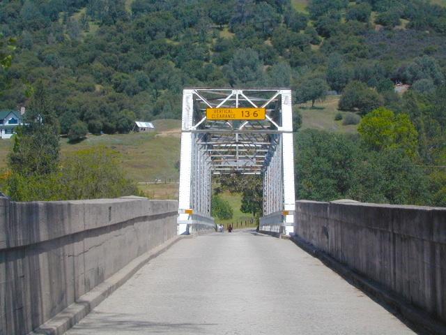
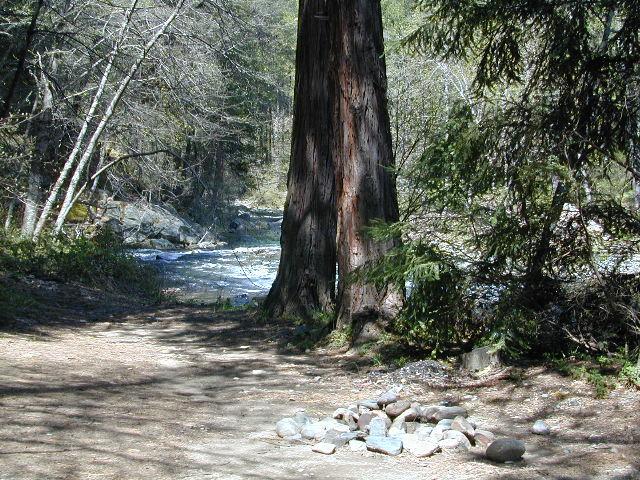
Klamath River, Klamath Forest, Klamath Tribes


The Klamath Mountains are a rugged and lightly populated mountain range in northwestern California and southwestern Oregon in the western United States. As a mountain system within both the greater Pacific Coast Ranges and the California Coast Ranges, the Klamath Mountains have a varied geology, with substantial areas of serpentinite and marble, and a climate characterized by moderately cold winters with very heavy snowfall and warm, very dry summers with limited rainfall, especially in the south. As a consequence of the geology and soil types, the mountains harbor several endemic or near-endemic trees, forming one of the largest collections of conifers in the world.
The mountains are also home to a diverse array of fish and animal species, including black bears, large cats, owls, eagles, and several species of Pacific salmon. Millions of acres in the mountains are managed by the United States Forest Service. The northernmost and largest sub-range of the Klamath Mountains are the Siskiyou Mountains.
There are extensive hiking trail systems, recreation areas, and campgrounds both primitive and developed in the Klamaths. A 211-mile stretch of the Pacific Crest Trail passes through these mountains as well. This section of the PCT is known locally as “The Big Bend” and is the transition from the California Floristic Province to the Cascades.
The Bigfoot Trail is a 400-mile trail through the Klamath Mountains from the Yolla Bolly-Middle Eel Wilderness to Crescent City, California.
These mountains harbor rich biodiversity, with several distinct plant communities, including temperate rain forests, moist inland forests, oak forests and savannas, high elevation forests, and alpine grasslands. These communities form the Klamath Mountains ecoregion. One of the principal plant communities in the Klamath Mountains is Mediterranean California Lower Montane Black Oak-Conifer Forest.
The ecoregion includes several endemic or near-endemic species, such as Port Orford cedar or Lawson’s cypress, foxtail pine, and Brewer’s spruce, forming one of the largest collections of different conifers in the world. The flowering plant Kalmiopsis leachiana, also endemic to the Klamaths, is limited to the Siskiyou sub-range in Oregon.
Typical species of the Trinity Alps region include Douglas fir, ponderosa pine, red fir, white fir, black oak, canyon live oak, Pacific madrone, bigleaf maple, California Buckeye, incense cedar, and Jeffrey pine. California’s northernmost stand of gray pine is found here along the South Fork of the Salmon River.
see also –
Klamath National Forest Map
Klamath Forest Atlas
Marble Mountains Wilderness Map
Oregon Dunes Map
Red Buttes Wilderness Map
Rogue River National Forest Map
 Gold Country Maps for the Western Sierra foothills, parks, forests, river canyons, fishing, camping, hiking, from Yosemite to the Sierra Buttes. The famous Gold Rush Country in California has historic buildings, mines, roads, and dams. The foothills region is home to numerous big river canyons, which is also the central focus of the historic mining activity.