Lassen National Forest Map

Lassen NF Map USDA

USDA Lassen Map

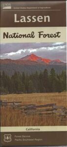
lassen mapsLassen National Forest Map includes all of Lassen Volcanic National Park too.

NFS – USDA – U.S. Forest Service – USGS

Lassen National Forest
Lassen National Park
Lassen Camping

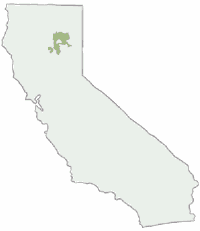
Lassen National Forest Map: Lassen National Forest surrounds Lassen Volcanic National Park. Quality USDA maps, National Forest Service. Lassen National Park, Lake Almanor, Susanville, Fall River Mills, Burney Falls, Juniper Lake, Drakesbad Ranch, Bucks Lake Wilderness Ranger Map – NFS issued map. GPS: Longitude & Latitude; Rivers, Creeks, Peaks, Elevations, 4WD and every dirt BackRoad, Hot Springs, Equestrian Areas, all Campgrounds, Hiking Trails and BackPacking Trailheads.

Areas include: Northern California, Butte County, Tehama County, Shasta County, Plumas County, Lassen County, Burney, Ahjumawi Lava Springs State Park, Thousand Lakes Wilderness, Manzanita Lake, Mineral, Shingletown, Ponderosa Sky Ranch, Hwy. 89, Hwy. 36, Lassen Volcanic Peak, Stover Mountain, as well as the Feather River.
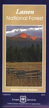
Lassen National Forest

PREVIOUS VERSION

Lassen National Forest Maps

Lassen Map USDA

OLDER VERSION

Lassen National Forest Map

REALLY OLD EDITION

Lassen National Forest Map

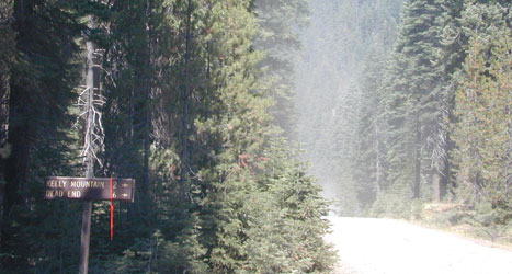
Many graded dirt roads lead out to trailheads, secluded lakes, hidden campsites.

As of 2019, National Geographic also makes a waterproof map for the Lassen Peak region. Over 150 miles of trails including 17 miles of the Pacific Crest Trail and a portion of the California National Historic Trail are clearly marked and include approximate mileage between intersections and trail use designations. A chart of campgrounds, their elevations, the number of sites, and the facilities available at each will help you choose the one that’s right for you.
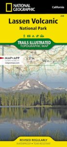
NatGeo Lassen MapNATGEO MAP: Interpretive information regarding the area’s unique geology and descriptions of the important hydrothermal areas are also included. The map base shows contour lines and elevations for summits, passes and many lakes. A variety of recreation features are noted as well, including campgrounds, trailheads, picnic areas, boat launches, cabins, and scenic viewpoints.
Lassen National Forest Maps

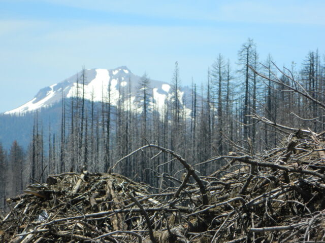
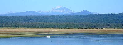
Lassen Peak from Lake Almanor

Mount Lassen Area Digital Maps

digital maps

apps/maps:
download digital topos & maps

California Deer Hunting Zone C4 Map
California Deer Hunting Zone X4 Map
California Deer Hunting Zone X5b Map
Chester California Topo Map USGS (free)
Childs Meadows Topo Map USGS (free)
Fredonyer Pass Topo Map USGS (free)
Hat Creek Headwaters Trail Map (free)
Lassen National Forest Visitor Map USFS
Lassen Volcanic National Park NPS Map (free)
Lassen MVUM – OHV Map 1b (free)
Lassen MVUM – OHV Map 2b (free)
Lassen MVUM – OHV Map 3a (free)
Lassen MVUM – OHV Map 3b (free)
Lassen Peak Topo Map USGS (free)
Lassen Peak Trail Topo Map (free)
Nat Geo 268 – Lassen Volcanic National Park Map
Susanville Ranch Park Trail Map (free)
Susanville Topographic Map USGS (free)
Westwood East, USGS Topo Map (free)
Westwood West, USGS Topo Map (free)
Remote Roads

Graded Dirt Roads

Lassen National Forest

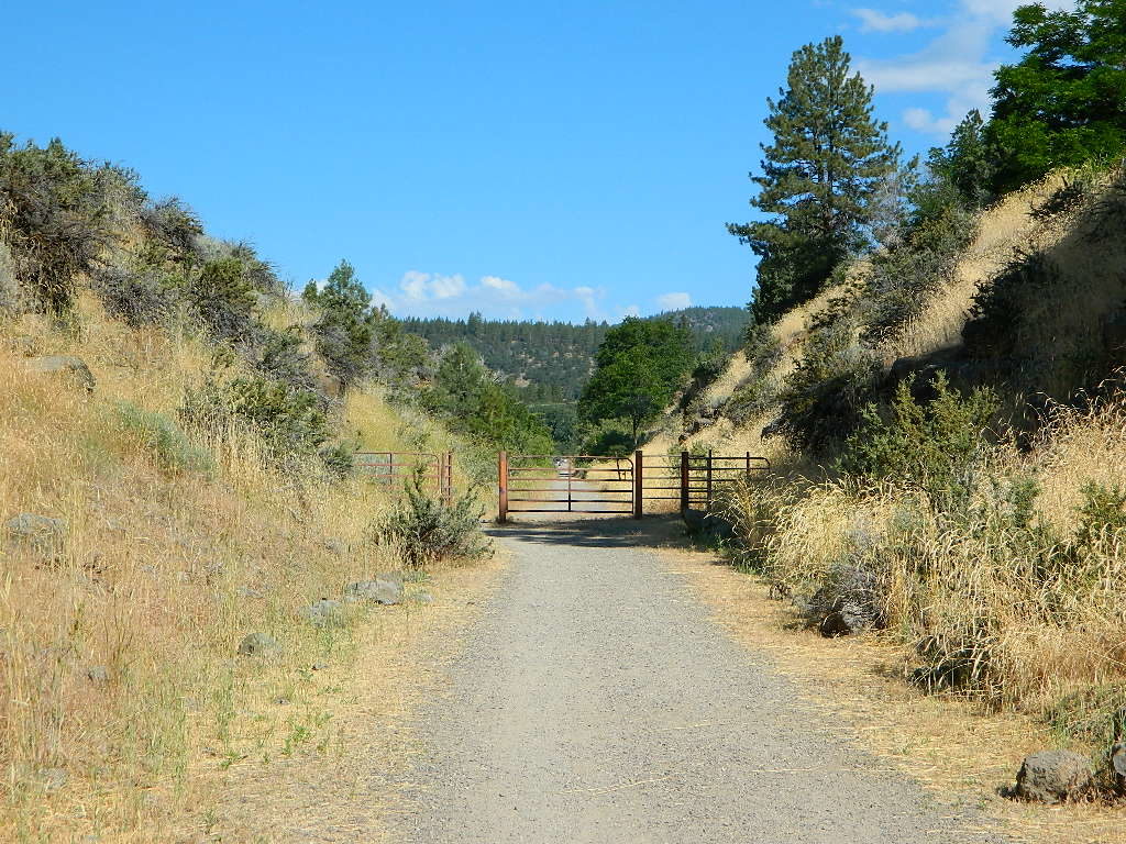
bikepath susanville

Bizz Johnson Trail, Susanville

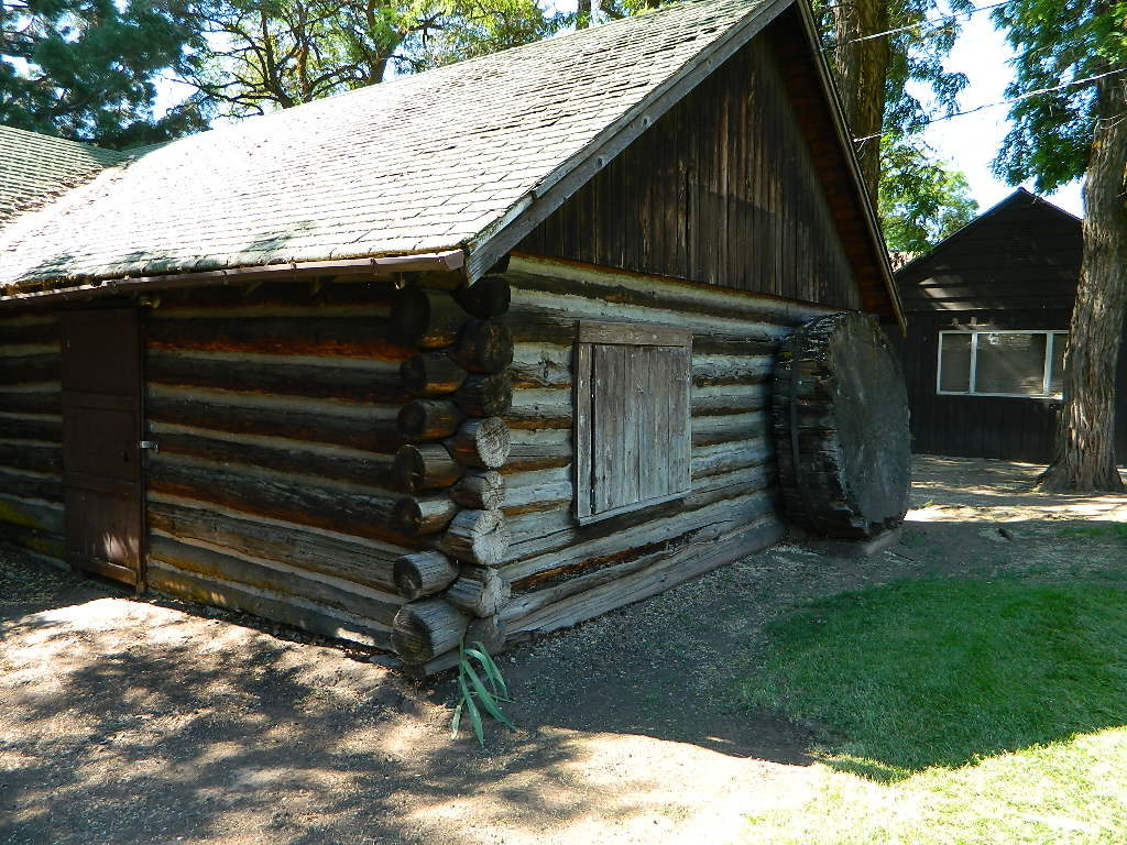
loghomehistoric

Historic Log Home: Downtown Susanville, CA

hiker

Sulfur Steam Lassen Park

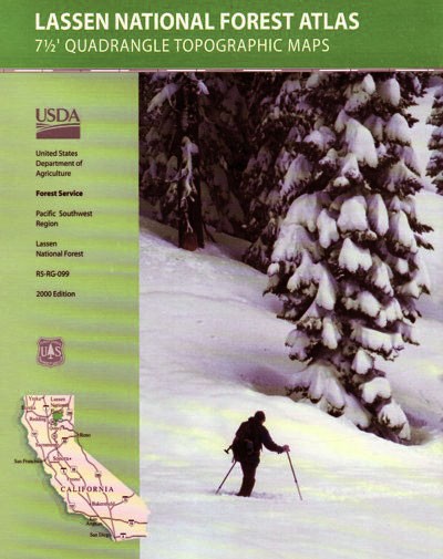
Seeking a detailed topographic maps of every square mile of Lassen territory? Then the Lassen Forest Topo Atlas is a book to discover.

lassen atlas

Lassen Topographic Atlas


Lassen National Forest Map

Eagle Lake, N of Susanville

Lassen Park Map

Mount Lassen

NatGeo Lassen Volcanic Map

Northern California:Lassen Park Map
Lassen Volcano National Park
Lassen National Forest
Lassen Lakes
Lassen Camping

National Geographic Maps are full color, waterproof plastic; 2-sided, updated regularly. Campgrounds, trailheads, all roads, rivers, creeks, lakes. Trails Illustrated, National Geographic Map #268; 4.1 x 0.3 x 9 inches; ISBN# 9781566956796

NatGeo Lassen Map

Lassen Park MapLassen National Forest surrounds Lassen Volcanic National Park. Lake Almanor, Susanville, Fall River Mills, Burney Falls, Juniper Lake, Drakesbad Ranch, Bucks Lake Wilderness NatGeo w/ GPS: Longitude & Latitude; Rivers, Creeks, Peaks, Elevations, 4WD & every dirt BackRoad, Hot Springs, Equestrian Areas, all Campgrounds, Hiking Trails & BackPacking Trailheads.

NFSLassen National Forest
NPS Lassen National Park

Lassen Park Map

Eagle Lake, Susanville, CA

Lassen Park MapAreas include: Northern California, Butte County, Tehama County, Shasta County, Plumas County, Lassen County, Burney, Ahjumawi Lava Springs State Park, Thousand Lakes Wilderness, Manzanita Lake, Mineral, Shingletown, Ponderosa Sky Ranch, Hwy. 89, Hwy. 36, Lassen Volcanic Peak, Stover Mountain, Feather River.
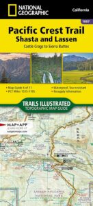
Lassen Park Map

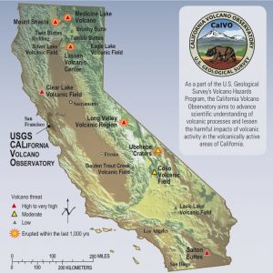
USGS Volcano California

PCT map Lassen

PCT Map Lassen

see also –
Lassen National Forest Map USDA
Lassen Forest Topo Atlas
Ishi Wilderness Map 

Mendo Forest Topo Atlas

Mendocino Atlas

Mendocino Topographic Atlas USDA

NorCal Coastal  Forests / Clear Lake California

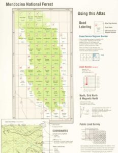
The MENDOCINO National Forest Atlas, is a spiral bound book – a collection of all the quads. (7½minute topographical maps, of all of Mendo National Forest, California) This book map has detailed topo lines, mountain peaks, streams, lakes, hiking trails & back roads. Perfect for all kinds of recreational needs. Printed in 2016. ISBN# 9781628114201

Mendocino National Forest Atlas

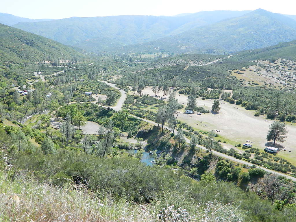
Fouts Springs Camping Area, Mendocino Forest – the EAST SIDE

Mendocino National Forest

Mendocino National Forest QUADS:
from south to north – Mendocino National Forest Atlas

  • Benmore Canyon
  • Clearlake Oaks
  • Lucerne
  • Hough Springs
  • Bartlett Springs
  • Bartlett Mountain
  • Upper Lake
  • Gilmore Peak
  • Fouts Springs
  • Potato Hill
  • Elk Mountains
  • Potter Valley
  • Foster Mountain
  • Van Arsdale Reservoir
  • Lake Pillsbury
  • Crockett Peak
  • Saint John Mountain
  • Stonyford
  • Elk Creek
  • Felkner Hill
  • Kneecap Ridge
  • Hull Mountain
  • Sanhedrin Mountain
  • Brushy Mountain
  • Chrome
  • Alder Springs
  • Plaskett Meadows
  • Plaskett Ridge
  • Thatcher Ridge
  • Newhouse Ridge
  • Mendocino Pass
  • Log Springs
  • Hall Ridge
  • Newville
  • Paskenta
  • Riley Ridge
  • Ball Mountain
  • Buck Rock
  • Leeche Lake Mountain
  • Bluenose Ridge
  • Four Corners Rock
  • Wrights Ridge
  • Soloman Peak
  • South Yolla Bolly Mountains
  • Raglin Ridge
  • North Yolla Bolly Mountains
  • Black Rock Mountain
  • Swim Ridge
Mendocino National Forest Atlas

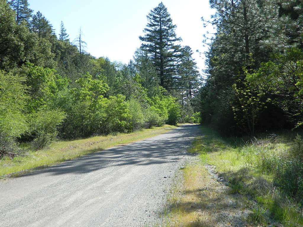
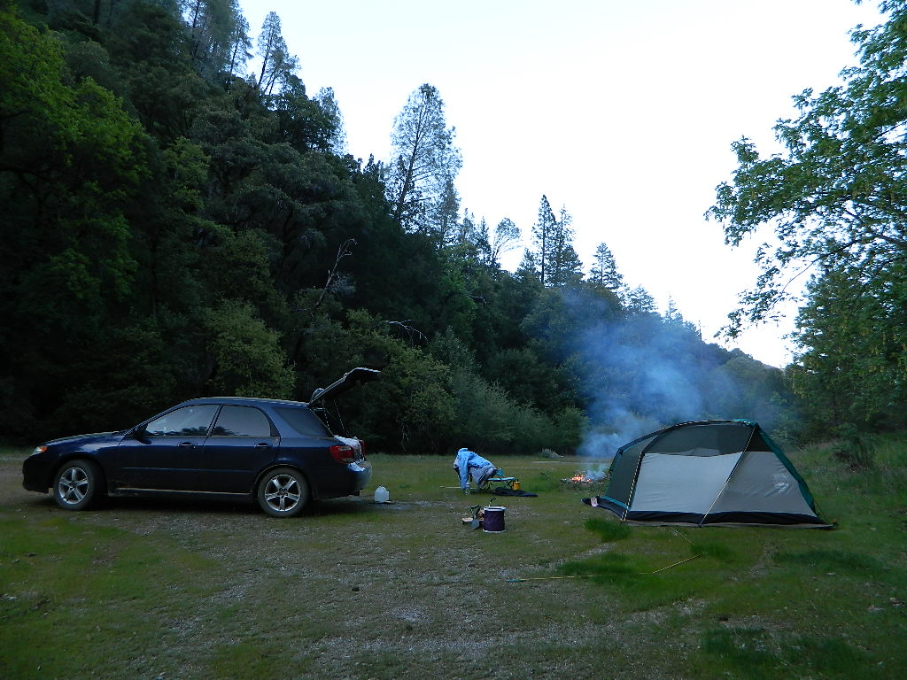
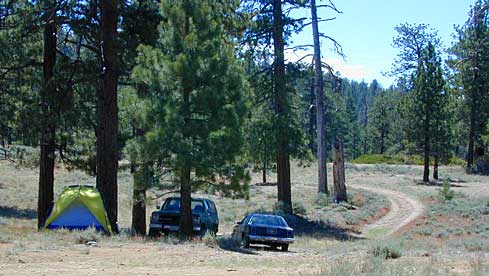
Dirt Roads = Secluded Camping


2021 UPDATE: Much of this coastal mountain National Forest was ravaged by wildfire both in 2018 and in 2020, so expect to have limited access for a while.

Ranch Fire (2018), part of the larger Mendocino Complex fire, took out all the southern end of the forest, including the Snow Mountain Wilderness.

459,123 acres burned in 2018

https://en.wikipedia.org/wiki/Mendocino_Complex_Fire

https://en.wikipedia.org/wiki/August_Complex_fire

Lightning strike wildfires began in mid-August 2020, wiping out the other half of the forest. With the limited fire fighters during the pandemic, the wildland fires ranged for months, filling the whole of Northern California with thick and toxic smoke. The massive August Complex fire is now the largest in state record – with over a million acres burned.

1,032,648 acres burned in 2020

Needless to say, there will closures on many roads throughout this Mendocino NF region, due to fire cleanup, repairs and salvage logging.  This includes some campgrounds, lakes, and meadows (or glades as they call them).  Contact the local ranger station to find out what is open and when. Gated roads may be found throughout this forest.

Primitive Camping Mendocino

Primitive Camping Road #308

Angeles Maps

Angeles Hiking Maps

Topo Maps by Tom Harrison, National Geographic, USDA

Angeles Maps

Angeles Forest
NatGeo Map #811

NatGeo Map Angeles

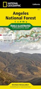
National Geographic Trails Illustrated Angeles National Forest Map #811. Los Angeles National Forest. Angeles Crest Highway 2, California State Route 14, Scenic Byways, Pacific Crest Trail, Mount Wilson, Mount Lowe, Mount Baldy, San Gabriel Mountains, Santa Clarita Trails, Magic Mountain Wilderness, Pleasant View Ridge Wilderness, San Gabriel River, San Gabriel Wilderness, Sheep Mountain Wilderness, Castaic Lake, Pyramid Lake, Piru Lake, Bouquet Canyon, Bouquet Reservoir, Elizabeth Lake, Lake Hughes, San Dimas, Azusa, Crystal Lake, Angeles Hiking Trails. GPS Compatible, Full UTM Grid. Waterproof ISBN# 9781566955775

Angeles Maps

Angeles Front Country Map
by Tom Harrison Maps
Angeles Hiking Map

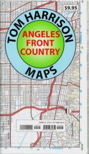
Tom Harrison Trail Map: Angeles Front Country, local LA maps for Angeles Crest. Los Angeles Forest Maps, Los Angeles Hiking Map, Backpacking Maps. Angeles National Forest, San Gabriel Mountains, Hiking Angeles Crest Highway 2 California. La Canada, Pasadena, Palmdale, Wrightwood California. Durable, waterproof plastic map; Folded. Map Scale: 63K; ISBN# 9781877689659

Angeles Maps

Angeles High Country Map
by Tom Harrison Maps

Angeles Highcountry Map

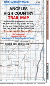
Tom Harrison Trail Map: Angeles High Country Map, local LA maps. Los Angeles Forest Maps, Tujunga Canyon, Los Angeles Hiking Map, Backpacking Maps. Angeles National Forest, San Gabriel Mountains, Angeles Crest Highway 2 California. La Canada Hiking Trails Pasadena, Palmdale, Wrightwood Hiking Maps. Durable, waterproof plastic map; Folded. Map Scale: 63K; ISBN# 9781877689628

Angeles Maps

san gabriel mountains

San Gabriel Mountains Recreation Map
by Wilderness Press
[CURRENTLY UNAVAILABLE 2024]

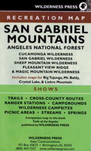
Wilderness Press Map for Los Angeles mountains region. Southern California areas include – Angeles NF, Cucamonga Wilderness, San Gabriel Wilderness, Sheep Mountain  Wilderness, Pleasant Valley Ridge, Magic Mountain Wilderness, Big Tujunga, Mount Baldy, Crystal Lake, Azusa Canyon, Liebre Mountain

Angeles Maps

see also –

L.A. Thomas Guide
Los Angeles & Orange County Street Map

Thomas Guide Los Angeles

Angeles Maps

Angeles Crest Hwy 2