Joshua Tree Maps

Joshua Tree National Park Map

Joshua Tree Maps
Both Tom Harrison and NatGeo make awesome recreation maps of this popular SoCal desert. Numerous campgrounds, hiking trails, dirt roads, historic mines, and plenty rock climbing spots. In 1934, Joshua Tree was designated as a National Monument and then later became a National Park in 1994. The local Palm Springs Desert BLM office has paper maps that cover the desert canyon areas near Interstate 10.

JT Maps

Joshua Tree Recreation Map
by Tom Harrison

Joshua Tree National Park Map, Climbing Joshua Tree Camping Backpacking Maps, Areas include: Black Rock Canyon, Hidden Valley, Barker Dam, Keys View, Lost Horse Valley, Lost Horse Mine, Ryan Mountain, Cholla Cactus Garden, Cottonwood Spring, Lost Palms Oasis, Geology Tour Road, Cap Rock, Jumbo Rocks, Wonderland of Rocks, Arch Rock. High Desert Yucca Valley; Durable, waterproof plastic map; Folded. Map Scale: 125K; ISBN# 9781877689536

digital mapsget a digital version of this map
Joshua Tree Park Map by Tom Harrison
Joshua Tree Maps

Quiet Camps in the Desert

Joshua Tree National Park Map #226
by National Geographic

Trails Illustrated Map from National Geographic. Joshua Tree National Park Map #226. Joshua Tree Park Map, Camping & Hiking Map. Very detailed & colorful. Waterproof Plastic Map; Tear Resistant. GPS data. Scale 1:80,000 Contour Interval = 100 feet. ISBN# 9781566953009

digital mapsget a digital version of this map
NatGeo Map 226 – Joshua Tree National Park
Joshua Tree Maps

online maps

digital maps for download

Joshua Tree Maps

Joshua Tree Maps

Joshua Tree Maps can get you beyond the crowds, to the outlying places that few know about. Summers can be hot here in the High Desert at 4000′ elevation, but not as hot as the Palm Springs / Coachella Valley below.

Winters can be chilly and windy, especially with any storm front moving through SoCal. Snow is possible at this elevation. Low temps overnight can drop into the teens during certain times of year – so make sure to bring a zero degree sleeping bag and good thermal undies.

Spring (wildflowers) and autumn are ideal times to visit JTNP.
Joshua Tree Maps

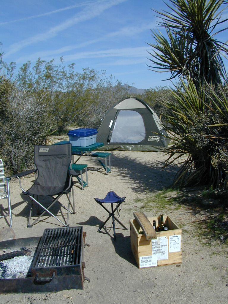
Camping Joshua Tree National Park Desert

Verdugo Map

Verdugo Mountains Map

Verdugo Mountain
by Tom Harrison Topo Maps

Verdugo Hills Map / Angeles Hiking Map / L.A. Hikes

Verdugo Mountains Map

Amazon is displaying a Mount Baldy map image for this Verdugo Mountains Map. Not sure why! There is a newer version of this map.

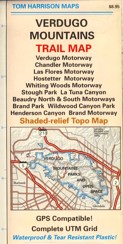
Tom Harrison Trail Map: Los Angeles County Hiking Trails, LA Hikes Chandler, Los Flores, Hostetter, Whiting Woods, Stough Park, La Tuna Canyon, Beaudry Brand Park, Wildwood Canyon, Henderson Canyon, L.A. Hiking. Durable, waterproof plastic map; Folded. Map Scale: 24K; ISBN# 9781877689925

Verdugo Mountains Map


see also –

Cheeseboro Canyon Map
Malibu Creek Map
Santa Monica Mountains Map
Topanga Canyon Map

Malibu Creek State Park Map

Malibu Creek State Park
Malibu Creek Hiking Map
Tom Harrison Maps

Malibu Creek State Park Map

Coastal Los Angeles Hiking Topo Maps

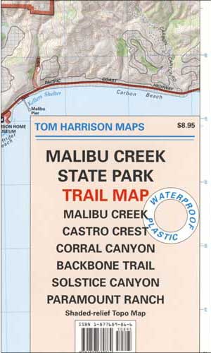
Malibu Creek Trail Map

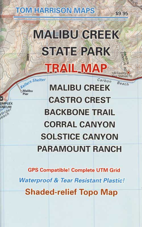
Malibu Hiking Map, Malibu Creek Trail Map. Malibu Creek State Park Map, Malibu California, Malibu Hiking Trails Map; Malibu Creek, Castro Canyon, Backbone Trail Map, Solstice Canyon, Paramount Ranch. Durable, waterproof plastic map; Folded. Map Scale: 31.7K; ISBN# 9781877689864

  • backpack
  • hike
  • horseback trails
  • mountain bike

topo trail map

hikers map

Malibu Trail Map

OLDER EDITION

see also –

Topanga Canyon Map
Zuma Canyon Map
Point Mugu Trail Map
Santa Monica Mountains Map

Sespe Wilderness Map

Sespe Wilderness Trail Map
Tom Harrison

sespe map

older version

Sespe Hiking / Sespe Creek / Sespe Hot Springs / Ojai Trails

Sespe Wilderness

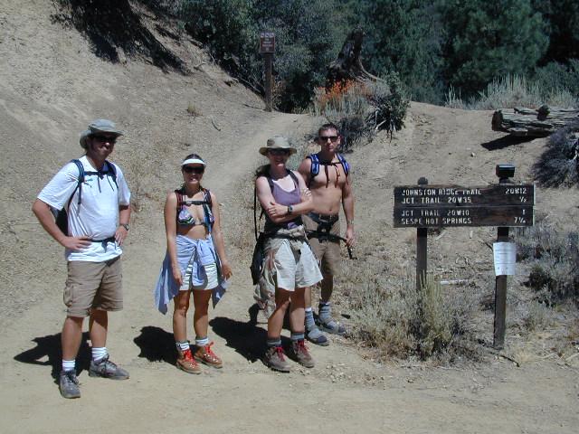
Sespe Hot Springs Hike

Los Padres National Forest

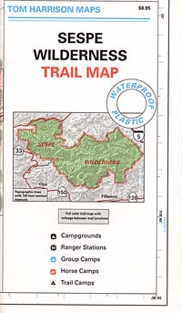
Tom Harrison Trail Map: Sespe Wilderness Map. Sespe is part of the Los Padres National Forest California: Pine Mountain. Piedras Blanca, Sespe Day Fire Area, Piru Creek, Sespe Hot Springs, Lake Piru, Wheeler Gorge, Topatopa Mountains, Rose Valley; Durable, waterproof plastic map; Folded. Map Scale: 63K; ISBN# 9781877689642

digital mapsdownload digital version of this map
Sespe Wilderness Map

sespe topo map

Sespe Hot Springs – 7.5 mile hike, one way

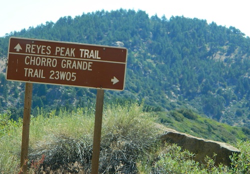
Reyes Peak Camping

Ojai Camping

Frazier Park Camping

nearby towns:hikers map

Reyes Peak

see also –

Dick Smith Wilderness Map
Los Padres National Forest Maps
Los Padres Topo Atlas