NFS – USDA – U.S. Forest Service
Modoc Country
Northeast California
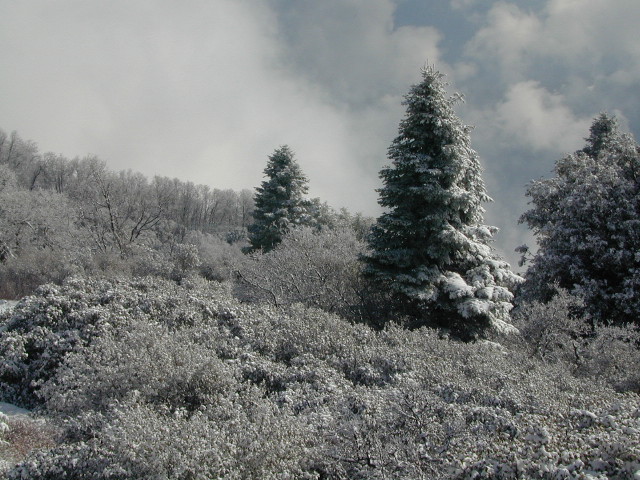
Pit River, Warner Mountains
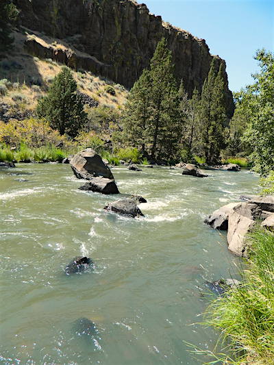
Pit River in Jess Valley
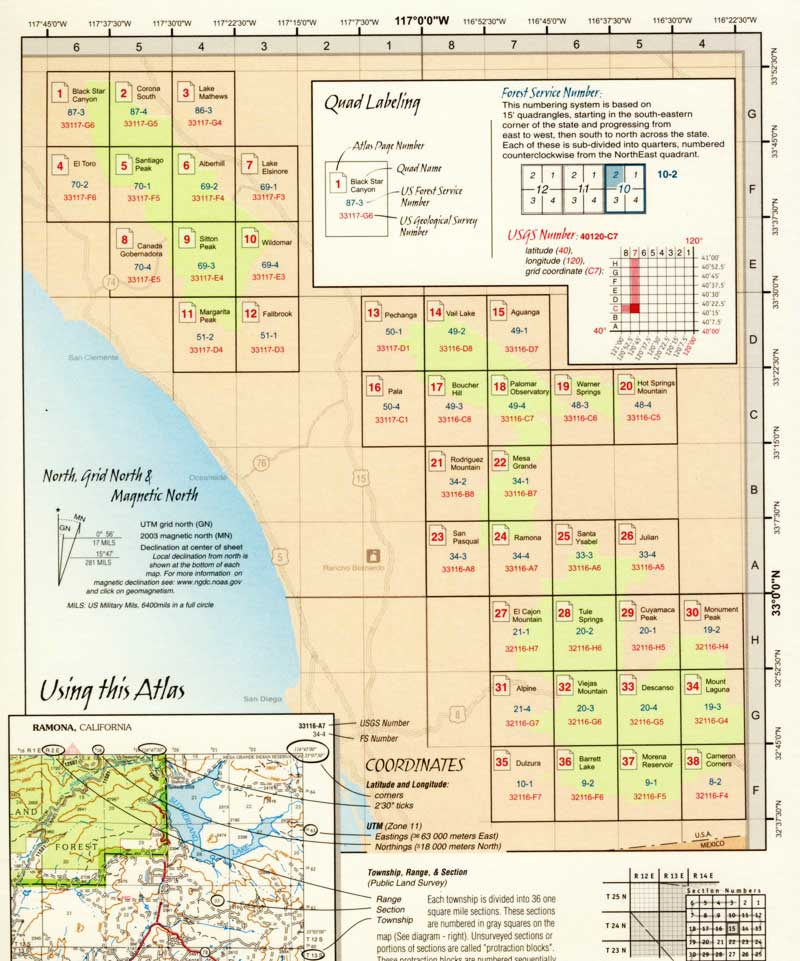
MODOC NF Map
Modoc Country Map. Modoc & Lassen County, Alturas, Tulelake, Cedarville, Warner Mountain, South Warner Wilderness
Standard Issue. Ranger Map – NFS issued map. GPS: Longitude & Latitude; Rivers, Creeks, Peaks, Elevations, 4WD & every dirt BackRoad, Hot Springs, Equestrian Areas, all Campgrounds, Hiking Trails & BackPacking Trailheads. Northeast CA state.
OLDER VERSION
 Areas include: Northeastern California, Modoc County, Lassen County, Alturas, Tulelake, Cedarville, Adin, Lava Bed National Monument, Devil’s Garden Wetlands, Big Valley, Doublehead, Warner Mountain, Goose Lake, South Warner Wilderness, Medicine Lake, Big Sage Reservoir, Clear Lake Reservoir, Lower Klamath Lake, Tule Lake Sump, Door Knob Snowmobile Area, Long Bell State Game Refuge, Oregon border.
Map Size: 39″x45″ overall / 4″x9″ folded; Printed on plastic.
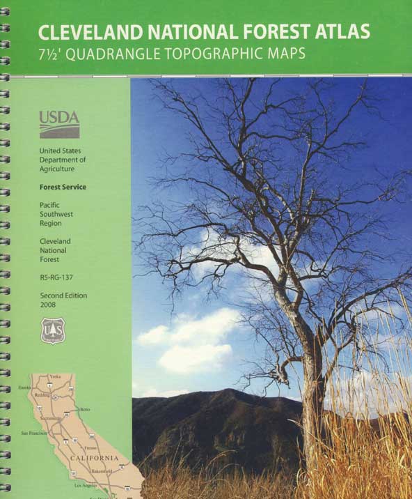
see also – Modoc Topo Atlas
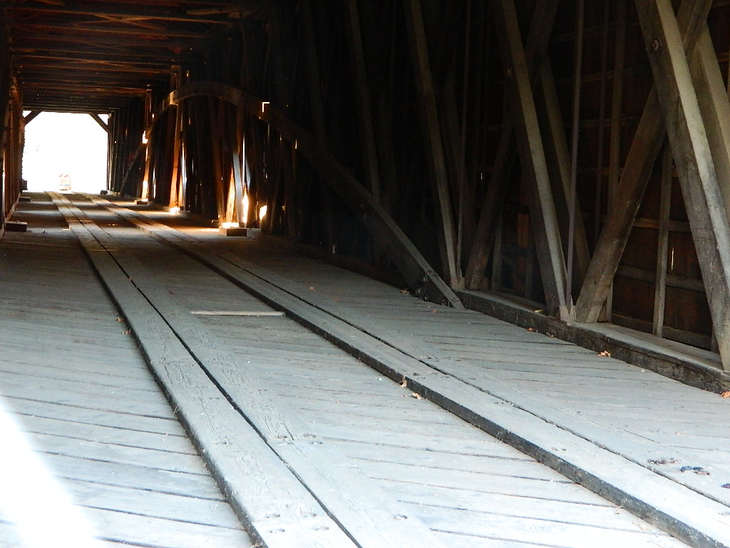
Mill Creek Falls & Campground
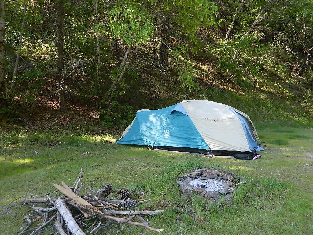
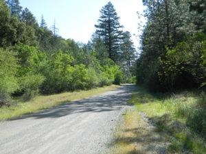
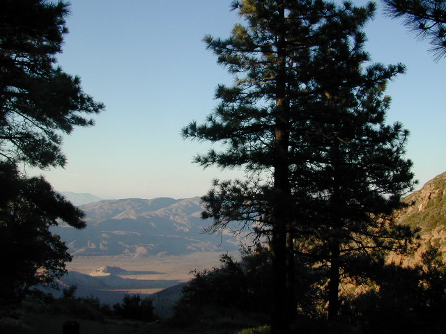
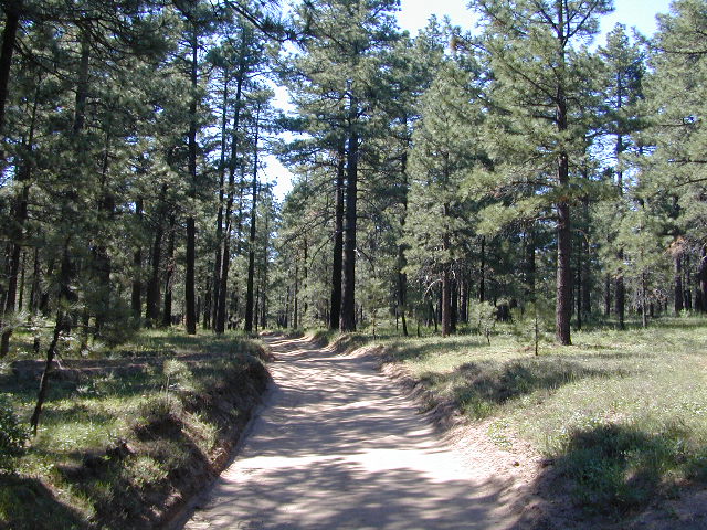
Looking to escape the crowds in California? Then head north, way north, to the eastern reaches of Modoc. This remote, high-elevation area gets some serious winter weather and snow, so visiting during the warmer months would be ideal for -camping, backpacking, horseback riding, fishing, kayaking, hiking, hunting and off roading. Hundreds of miles of dirt roads weave in and out of dense forests, around lakes, over creeks and connect Alturas to Cedarville, CA
Northern California Forest / Modoc Country: Modoc National Forest
Wilderness areas in Modoc: South Warner Wilderness Map
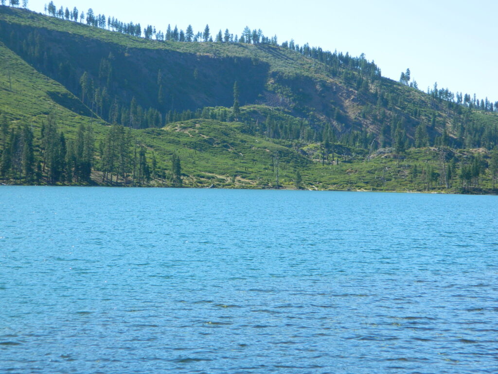
Blue Lake of Modoc NF
nearby towns:
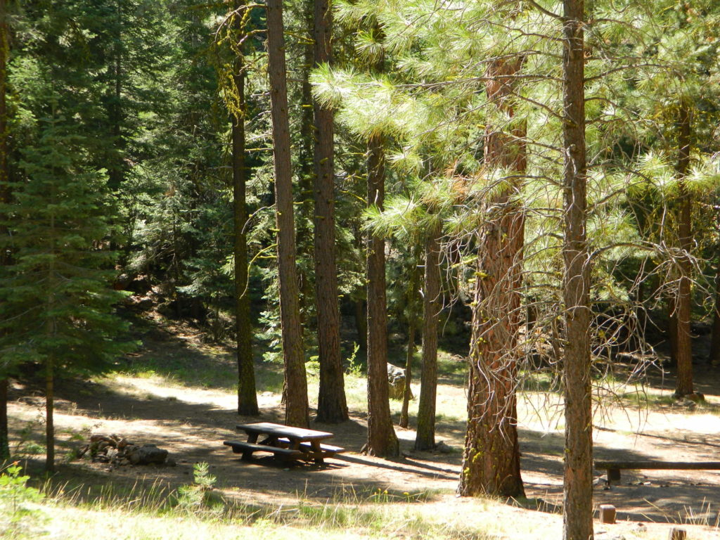
 North Sierra, Gold Country Rivers


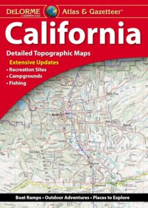
 Uniquely versatile DeLorme Atlas & Gazetteer. These topographic atlases cover individual states with the most comprehensive detail available, including back roads, backwater lakes and streams, boat ramps, forests, wetlands, trailheads, campgrounds, public lands, prime hunting and fishing spots, and countless landmarks and points of interest. You’ll also find a wealth of information on everything from family outings to wilderness adventures. The Atlas & Gazetteer is ideal for outdoor recreation, business travel, home or office reference, and countless other uses.