Angeles National Forest Map

Angeles National Forest Map

Angeles National Forest Map

USDA angeles NF

hikers mapNFS – USDA – U.S. Forest Service

Angeles Crest Highway 2 / San Gabriel Mountains
Angeles Forest / San Gabriel National Monument

Angeles National Forest
USGS map California: Angeles Map. San Gabriel Mountains, Mount Wilson, Castaic, Angeles Crest, Chilao, Buckhorn, Crystal Lake, Wrightwood
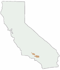
Angeles National Forest Map
Angeles National Forest Map: WATERPROOF MAP plastic & tear resistant. Ranger Map – NFS issued map. GPS: Longitude & Latitude; Rivers, Creeks, Peaks, Elevations, 4WD & every dirt BackRoad, Hot Springs, Equestrian Areas, all Campgrounds, Hiking Trails & BackPacking Trailheads. Areas include: Chilao, San Gabriel Wilderness, Cucamonga Wilderness, Sheep Mountain, Lake Castaic, Mount Wilson, Castaic, Angeles Crest, Crystal Lake, Jackson Lake, Upper Big Tujunga, Little Tujunga, Mount Gleason, Mount Pacifico, Kratka, Cloudburst Summit, Lytle Creek, Chantry Flat, Bandito.

Quality USDA maps created for the National Forest Service. Size: 27″x 44″ overall / 4″x9″ folded; Printed on plastic in 2016. ISBN# 9781628114225
Angeles National Forest Map

OLDER VERSION

  • backpacking
  • campingsnow
  • hiking
  • mountain biking
  • picnicking
  • snow sledding
Angeles National Forest Map

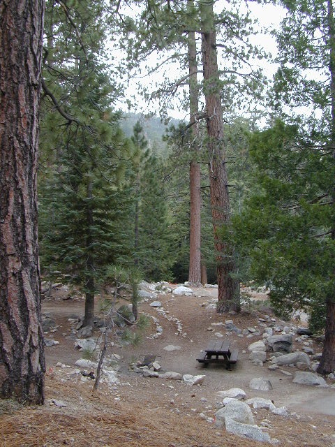
Buckhorn Campground, on Angeles Crest Hwy

Angeles National Forest is registered as California Historical Landmark #717, for being the first National Forest in the state.

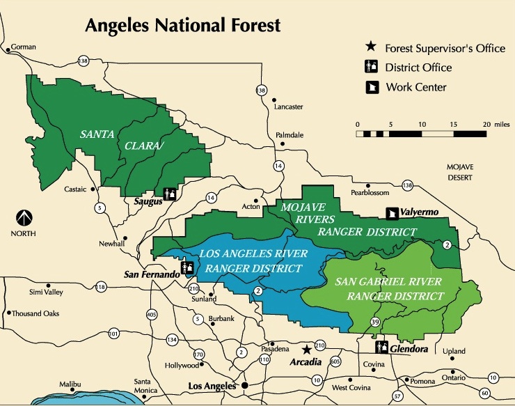
The Angeles National Forest covers a total of 700,176 acres, protecting large areas of the San Gabriel Mountains and Sierra Pelona Mountains. It is located just north of the densely inhabited metropolitan area of Greater Los Angeles.

While primarily within Los Angeles County, a small part extends eastward into southwestern San Bernardino County, in the Mount San Antonio (Mount Baldy) area, and a tiny section also extends westward into northeastern Ventura County, in the Lake Piru area.

The San Gabriel Mountains National Monument, established in 2014 and managed by the U.S. Forest Service, is largely within the Angeles National Forest.

The Angeles National Forest manages the habitats, flora and fauna ecosystems, and watersheds. Some of the rivers with watersheds within its boundaries provide valuable non-groundwater recharge water for Southern California. The existing protected and restored native vegetation absorb and slow surface runoff of rainwater to minimize severe floods and landslides in adjacent communities.

The land within the forest is diverse, both in appearance and terrain. Elevations range from 1,200′ to 10,064′. The Pacific Crest Trail crosses the forest.

see all Angeles Maps

see also –camp map
NatGeo Angeles Map #811
Angeles Forest Topo Atlas
San Gabriel Mountains Map
Mount Baldy Map
Mount Wilson Map
Cucamonga Wilderness Map 
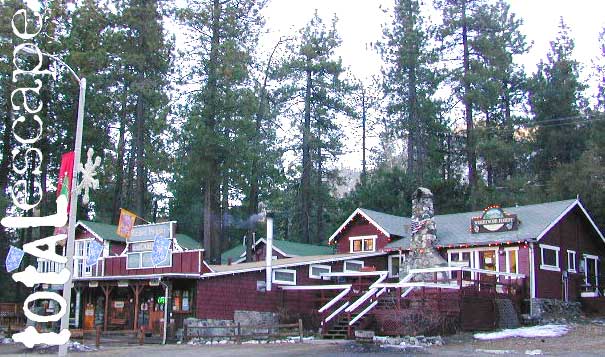
Angeles National Forest Map

Wrightwood is located on the southern end of Angeles Crest Highway 2

Dipsea Mountain Play Trail Map

Dipsea & Mountain Play Trail Map
Tom Harrison Maps

Dipsea Trail Map

2022 currently unavailable on Amazon

The Dipsea & Mountain Play Trail Map; Marin County Hiking Mill Valley Stinson Beach, Pipeline, Dipsea Steps, Nora Trail, Old Mill Park, Mountain Home, Cardiac Hill, Muir Woods, Steep Ravine, Mount Tamalpias, Rock Springs; Mill Valley California to Mountain Theater; Marin Hiking Maps; Durable, waterproof plastic map; Folded. Map Scale: 31.7K; ISBN# 9781877689918

Marin Hiking: Dipsea & Mill Valley

see all Marin Trail Maps

Dipsea Trail Map

Mill Valley, California

Dipsea Trail is also known as the Ben Johnson Trail. The Dipsea Race is a trail running event in California, United States. It is the oldest cross-country trail running event and one of the oldest foot races of any kind—in the United States. The 7.5 mile long Dipsea Race has been held annually almost every year since November 19, 1905, starting in Mill Valley, and finishing at Stinson Beach, in Marin County, California.

Lodge Listing

cabins
Get linked on Total Escape.

ANNUAL LISTING: Best deal in local California advertising!

Businesses include: bed & breakfasts, historic inns, hot springs, river resorts, snow ski resorts, fishing lodges, vacation homes, mountain cabins, yurts, guest ranches, farm stays, retreats, RV camps, beach bungalows, and any non-chain hotel, motels, etc

motels

Total Escape does not list the large, national chains for lodging. We only specialize in the rural areas of California – getting the urban population out to your neck of the woods.

This annual advertising is for a text listing with link to be placed live on Total Escape.com > LODGE. Basic Listing for Lodges, or choose a Deluxe Ad with a photo.

On a slow month (during winter) we are able to push over 60,000 viewers to our lodging pages.
click here to see some stats

bajaresorts
Get more exposure directed to your website with a link from Total Escape. Online 21 years – we have the traffic to drive you wild. Outdoorsy travelers find what they need on our 8000 page web site. Advertise your travel industry related business with Total Escape today!


Lodge Listings for California

Lodge Listings for California

Lodge Listings for California

Baja Map Mexico

Detailed Map of Baja Mexico
Baja California MX

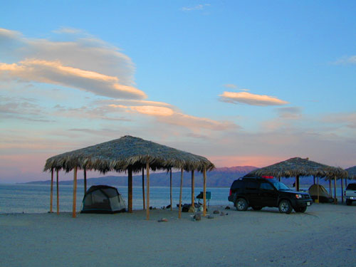
Camping Gonzaga Bay

Camping Gonzaga Bay

2021 – New MAP for Baja!!!

Benchmark Baja California
Road & Recreation Atlas

Baja Map Mexico

Release date MAY 2021 – announcing a brand new atlas for Baja California, created by none-other than Benchmark Maps. 

Baja Map Mexico

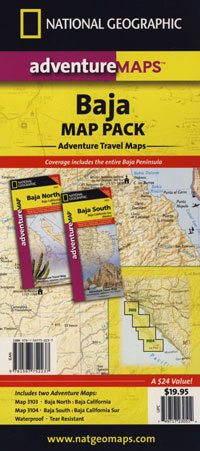
National Geographic has Adventure Maps for Baja California

full color, 2 sided, waterproof, tear resistant, topographic maps

NatGeo Baja Map NORTH
(Baja Norte)

This travel map covers from San Diego down to Bay of LA. Norte map covers the US/Mexico border from Tijuana to Mexicali, including border crossings, as well as Ensenada & Tecate. Inset maps give extensive detail to these areas: The southern side shows Valle de los Cirios, Bahia de los Angeles, Native Rock Paintings of the Sierra de San Francisco and Whale Sanctuary of El Vizcaino.

Baja Map Mexico

OLDER VERSION

hiking

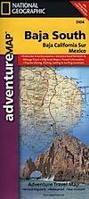
NatGeo Baja Map SOUTH
(Baja Sur)

The sparsely populated southern half of the peninsula has some of the Gulf of California Islands. The southern side covers the state capital La Paz, Cabo San Lucas, San Jose del Cabo, and Todos Santos. Inset maps give extensive detail to some of these popular areas.

Baja Map Mexico

OLDER VERSION

hiking

Baja Map Mexico

Dining Out in Baja

National Geographic Adventure Map Pack
Baja California 2 Map Set

Baja Map Mexico

OLDER EDITION

Baja Map Mexico

La Paz Coast Baja – Sea of Cortez

see also – 

Baja Almanac
Baja California Books