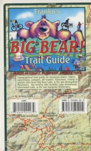
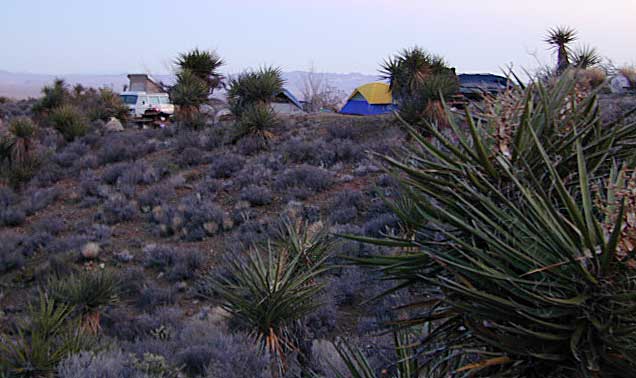
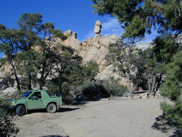
Mojave Desert Maps / Mojave Camping
Historic Mojave Trail
We have a nice spread of desert topographic maps listed below for the Mojave Desert region of California. Whether you want to hike, mountain bike, camp, climb, play on the sand dunes or just relax and stargaze, we have you covered. The centrally located historic train station, the Kelso Depot, has been totally restored and is now the area’s Visitors Center.
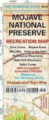
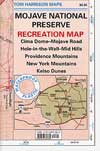
Mojave National Preserve Map
by Tom Harrison Maps
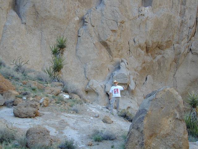
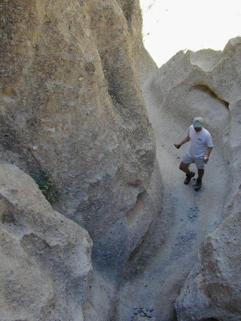
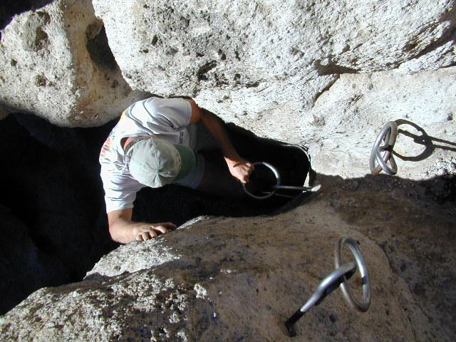
 Tom Harrison Mojave Desert Recreation Map: Mojave National Preserve Essex California, Mojave Desert Trails; Cima Dome, Mojave Road, Hole in the Wall, Rings Trail Hike Mojave, Mid Hills, Mid-hills, Providence Mountains, New York Mountains, Kelso Dunes, Kelso Depot, Kelso Road Map Mojave. Durable, waterproof plastic map; Folded. Map Scale: 250K; ISBN# 9781877689369

download digital version of this map –
Tom Harrison Map – Mojave National Preserve
Mojave National Park Map #256
NatGeo California Desert Maps


Trails Illustrated Map from National Geographic. Mojave National Preserve Park map #256.
Camping, hiking and stargazing. Sand dunes, lava tubes and dirt roads! Providence Mountains State Recreation Area, Cinder Cone Lave Beds, Kelso Depot Visitors Center, Cima Road, Kelso Dunes, New York Mountains. Back Roads Mojave, Back Country Hiking Map. Scenic Drives to explore. Very detailed & colorful. Waterproof Plastic Map; Tear Resistant. GPS data. ISBN#749717012561
download digital version of this map –
NatGeo Map 256 – Mojave National Preserve Park

 backpacking
- camping
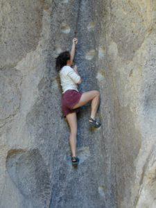
- climbing
- hiking
- lava tubes
- mountain biking
- off-roading
- old mines
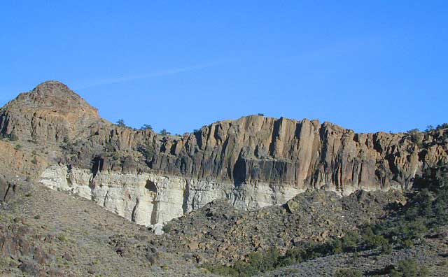
Fossil Falls @ US 395 Mojave
Mojave Road Map & Guide

North Mojave Desert, US Hwy 395 @ Hwy 14
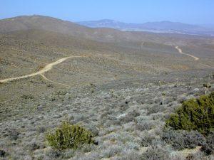
Jawbone Cyn Map / OHV routes / Randsburg Ghost Town / Old Mines & Tunnels / Joshua Trees / Pinyon Pines / Red Rock Canyon
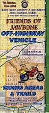
Jawbone Canyon OHV North Mojave Desert Map; Topo features, Waterways, Trails & Roads. Motorized & no-motorized trails. Eastern Kern County High Desert. Spangler Hills OHV, Trona Pinnacles National Monument, Randsburg Mining District, 4×4 OHV, Red Mountain, Johannesburg, Red Rock Canyon State Park, Last Chance Canyon, El Paso Mountain Wilderness, Desert Tortoise Preserve, Kiavah Wilderness, Dove Springs OHV, Bright Star Wilderness, Tehachapi Loop, Walker Basin, California City, BLM Camping Mojave California Desert Trails, Southern Sequoia National Forest OHV; 2008 Map by Friends of Jawbone w/ California Trail Users Coalition
Death Valley, Inyo Mts & Saline Valley
And alas, Death Valley National Park is part of the much larger Mojave Desert. Find Death Valley Maps and Death Valley Books. Inyo Mountains separate US 395 (the Owens Valley) from Death Valley, so Inyo National Forest may also be included as a Mojave Desert map. See all the topo quads on the spiral bound Inyo National Forest Atlas.
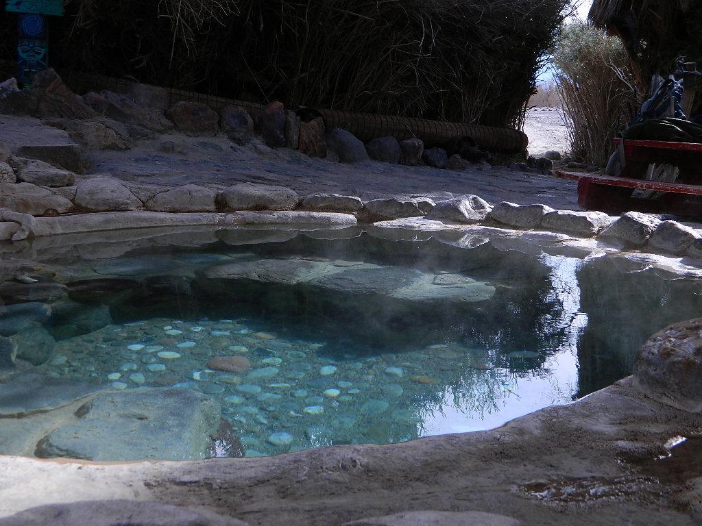
Saline Hot Pools @ Saline Valley, DVNP

download digital maps of the Mojave desert
CTUC Amboy OHV Map
CTUC Inyo National Forest South (free)
CTUC Mojave Desert OHV Map
CTUC Needles CA OHV Map
CTUC Panamint Valley OHV Map
CTUC San Berdu & Barstow BLM Map
BLM Topo Map – AZ Lake Havasu Guide (free)
BLM Topo Map – AZ Havasu Palms, Sara Park (free)
NPS Map Brochure – Death Valley (free)
NPS Map Brochure – Lake Mead NRA (free)
NPS Map Brochure – Mojave NP (free)
USGS Topo Map – KINGMAN, AZ (free)
Fossil Falls Canyon BLM – Cinder Road @ US Hwy 395

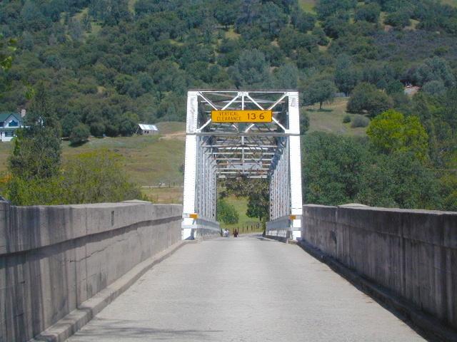
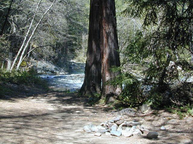
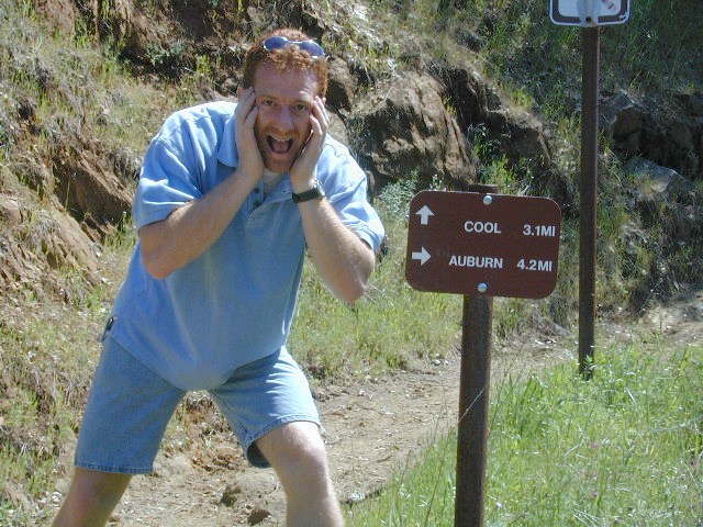
 Gold Country Maps for the Western Sierra foothills, parks, forests, river canyons, fishing, camping, hiking, from Yosemite to the Sierra Buttes. The famous Gold Rush Country in California has historic buildings, mines, roads, and dams. The foothills region is home to numerous big river canyons, which is also the central focus of the historic mining activity.