Flagstaff Sedona Map

NatGeo Trails Illustrated
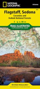
Flagstaff Sedona Map #856

NatGeo AZ map

Sedona Camping & Hiking Trails
Flagstaff Arizona, Sedona, AZ Hikes, Campgrounds

Map covers Coconino National Forest, Kaibab National Forest, South Rim Grand Canyon, Kachina Peaks, Kendrick Mountain, Strawberry Crater Wilderness Area, San Francisco Peaks, Arizona Trail, Game Management Units, Cinder Hills OHV Area. GPS Compatible, Full UTM Grid. National Geographic, Waterproof Plastic Map, ISBN# 9781566955157

Flagstaff Sedona MapSedona Map of Arizona, Northern Arizona Tourism, Arizona Maps, Flagstaff AZ, Flagstaff Hiking, Camping North AZ

Flagstaff Sedona Map

Trail Map Flagstaff

see also – 

Grand Canyon Maps
Mojave National Preserve Map

Red Rock Canyon Vegas
Lake Mead NRA Map
Anza Borrego Desert Map
San Diego Backcountry Maps

Columbia River Map

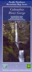
Columbia River Gorge

On the border between Oregon and Washington state, this huge river gorge is a recreation paradise. Fishing, camping, kayaking, wind surfing, hiking and much more.

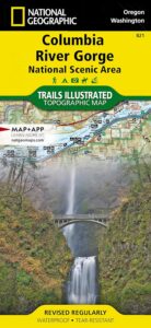
Columbia River Gorge National Scenic Area

USDA Columbia River
Columbia River Map NFS

Columbia River Camping, Oregon Hikes, Columbia River Gorge Campgrounds

Recreation Map Oregon Washington. Topographic Map. Pacific Northwest Recreation, Outside in Oregon, Columbia River National Scenic Area, Maps, Mount Hood National Forest, Gifford Pinchot National Forest

On the borders of southern Washington state and the north boundary of Oregon lies the Columbia River Gorge, which cuts through the Cascade Mountain Range, and is the deepest, spectacular river canyon on the entire west coast. 80 miles long and 4,000′ deep. Bird watching, boating, camping, fishing, hiking, mountain biking, picnicking, rock climbing, windsurfing, wildflowers. Waterfalls in Oregon. Multnomah Falls is the second highest in the United States.

Map Scale: 1 inch = 1 mile; BLM & USDA. Printed in 2007 on waterproof plastic. This map can also be found at USFS Ranger Stations.

Columbia River Map

National Geographic has a full color map for this region

Columbia River Gorge NSA
Map #821

Columbia River Map

Mt Hood OR

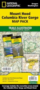
Mount Hood Map, Columbia River Gorge
MAP PACK (2 map set)
National Geographic – Trails Illustrated Map

Crystal Basin Silver Fork Map

Crystal Basin Map
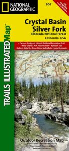
Crystal Basin & Silver Fork
of Eldorado NF
NatGeo Map # 806

Loon Lake, Central Sierra Nevada Maps

hikers mapTrails Illustrated Map from National Geographic. Crystal Basin / Silver Fork Map inside El Dorado National Forest map #806. 4×4 routes for the Rubicon Trail – all the way to Tahoe. Loon Lake, Union Valley Reservoir, Ice House Reservoir. Auburn State Recreation Area (Auburn SRA) and Carson – Emigrant Historic National Recreation Trail. Pony Express National Historic Recreation Trail.

Mountain bike trails, backpacking routes, equestrian and hiking trail mileage. High country map. Many rivers, roads and trails to explore. 2-sided map. Very detailed & colorful. Waterproof Plastic Map; Tear Resistant. GPS data. Scale = 1:63,360 ISBN#9781566952644

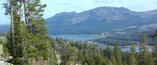
Silver Lake @ Carson Pass

Crystal Basin Silver Fork

The Crystal Basin spreads over 85,000 acres north of Highway 50 and west of Desolation Wilderness. Wonderful views of the Crystal Range extends north along the ridge from prominent Pyramid Peak (9963′ elev), Mount Price, Red Peak, and Silver Peak.

The Crystal Basin Recreation Area is a joint development between the Sacramento Municipal Utility District and the National Forest Service. SMUD operates a series of reservoirs and hydroelectric powerhouses which furnish energy to the Sacramento area.

Plasses

see also –

Carson Iceberg Wilderness Map
Desolation Wilderness Trail Map
Eldorado National Forest Map
Gold Country Maps

Cuyamaca Rancho State Park Map

Cuyamaca Rancho State Park
San Diego Mountains
cuyamaca map
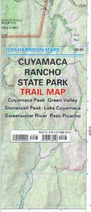
Rancho Cuyamaca State Park Map
Tom Harrison

  • Cuyama Peak
  • Cuyama Lake nearby

Hiking San Diego Mts.
Campground Camping

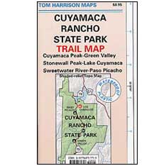
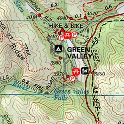
hikers mapRancho Cuyamaca State Park inside Cleveland National Forest; Hiking Map San Diego Mountains, Laguna Mountains Camping, Julian Campgrounds, Cuyamaca Peak, Stonewall Peak, Paso Picacho, Lake Cuyamaca, Green Valley Falls, Sweetwater River. Cuyamaca Maps Backpacking San Diego Maps; Durable, waterproof plastic map; Folded. Map Scale: 32K; ISBN# 9781877689796
cuyamaca map

  • campCuyamaca Map
  • climb
  • hike
  • horseback
  • mountain bike
  • picnic
  • waterfalls
Cuyamaca Map

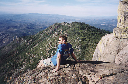
Cuyamaca Peak, East San Diego County

San Diego Hiking Maps

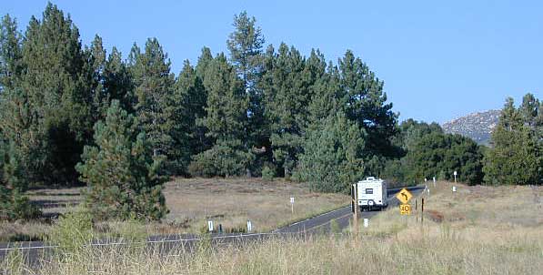
Day use areas and overnight camping in the San Diego mountains. Located along Highway 79, in between Julian and Interstate 8, Rancho Cuyamaca State Park is a popular spot for family camping, day hikes and picnics. Oak foothills, pine forests, meadows, boulder peaks, waterfalls, campgrounds, trailheads and picnicking areas.Cuyamaca Map

  • Cuyamaca Peak
  • Green Valley
  • Lake Cuyamaca
  • Paso Picacho
  • Stonewall Peak
  • Sweetwater River
Cuyamaca Map

older edition

Lake Cuyamaca is a recreation area offering boating, fishing, and camping at the reservoir. Campground, store, cafe, and tackle shop are available at the lake. The small reservoir is stocked with trout annually, and is the only San Diego lake that is able to stock trout all year long.

Conical Middle Peak is above the lake on the east, and North Peak is on the north side. Hiking trails reach the summit of Cuyamaca Peak, located to the southwest of Cuyamaca Reservoir and inside Cuyamaca Rancho State Park.

The dam at Cuyamaca lake is the second oldest in California still in use, completed in 1888. It was built to supply drinking water to the city of San Diego. It was originally piped down to San Diego in wooden flumes. It continues to be part of the municipal water supply system for San Diego County.
cuyamaca maps

see also –

Cleveland National Forest Map
Cleveland Forest Atlas

Mount Laguna Trail Map
San Diego Backcountry Map
San Diego County Trail Map
Pine Creek – Hauser Wilderness Map 
Anza Borrego Desert Map