San Jacinto Trail Map
Mt San Jacinto Map
Tom Harrison
Tahquitz Peak / Idyllwild Mountains / Palm Springs
Mount San Jacinto Map. Southern California

Tahquitz Peak Climb, Tom Harrison Trail Map: San Jacinto Wilderness CA; Mount San Jacinto State Park Idyllwild Camping Backpacking; San Jacinto Peak, Palm Springs Hiking. Durable, waterproof plastic map; Folded. Map Scale: 42K; ISBN# 9781877689437
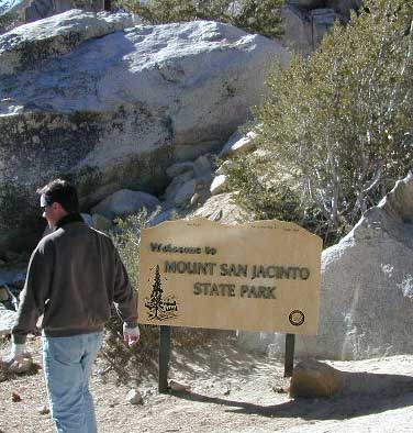
San Jacinto Peak, also known as Mount San Jacinto, is a 10,834 foot mountain peak in the San Jacinto Mountains, in Riverside County, California. Lying within Mount San Jacinto State Park it is the highest both in the range and the county, and serves as the southern border of the San Gorgonio Pass.

OLD VERSION
To the east the peak towers over the city of Palm Springs (elevation 479′); to the west, it borders the mountain community of Idyllwild (elevation 5,413′). The steep escarpment of its north face, above Snow Creek, climbs over 10,000′ in 7 miles. This is one of the largest gains in elevation over such a small horizontal distance in the contiguous United States.

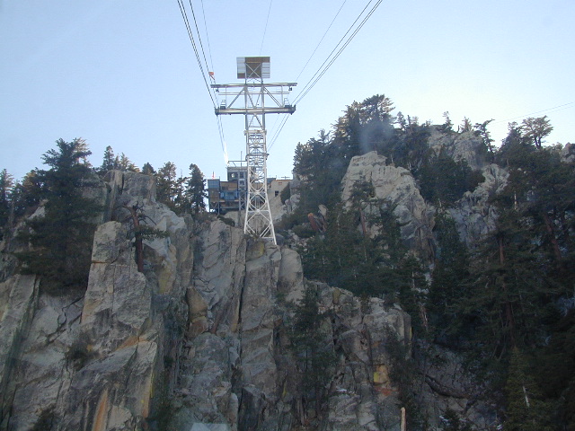
Tram Ride to the Top
Take the Tram
San Jacinto Peak is easily accessible, as many trails penetrate the Santa Rosa and San Jacinto Mountains National Monument. One popular route starts with a ride on the Palm Springs Aerial Tramway from Valley Station at 2,643′ feet near Palm Springs up to Mountain Station at 8,516′. From there, one can easily climb the mountain face via trails.
Another route is to hike the Marion Mountain Trail near the mountain town of Idyllwild, off Highway 243. The Cactus to Clouds Trail involves an arduous climb of approximately 10,700′ feet from the desert floor in Palm Springs to the summit. This trail has no water sources until 8,500′, so early starts are advised to avoid the temperatures which often soar above 100°F.
San Jacinto Mountains National Monument
San Jacinto State Park
San Jacinto Wilderness
see also –
San Bernardino National Forest Map
San Bernardino Forest Atlas
San Gorgonio Wilderness Trail Map
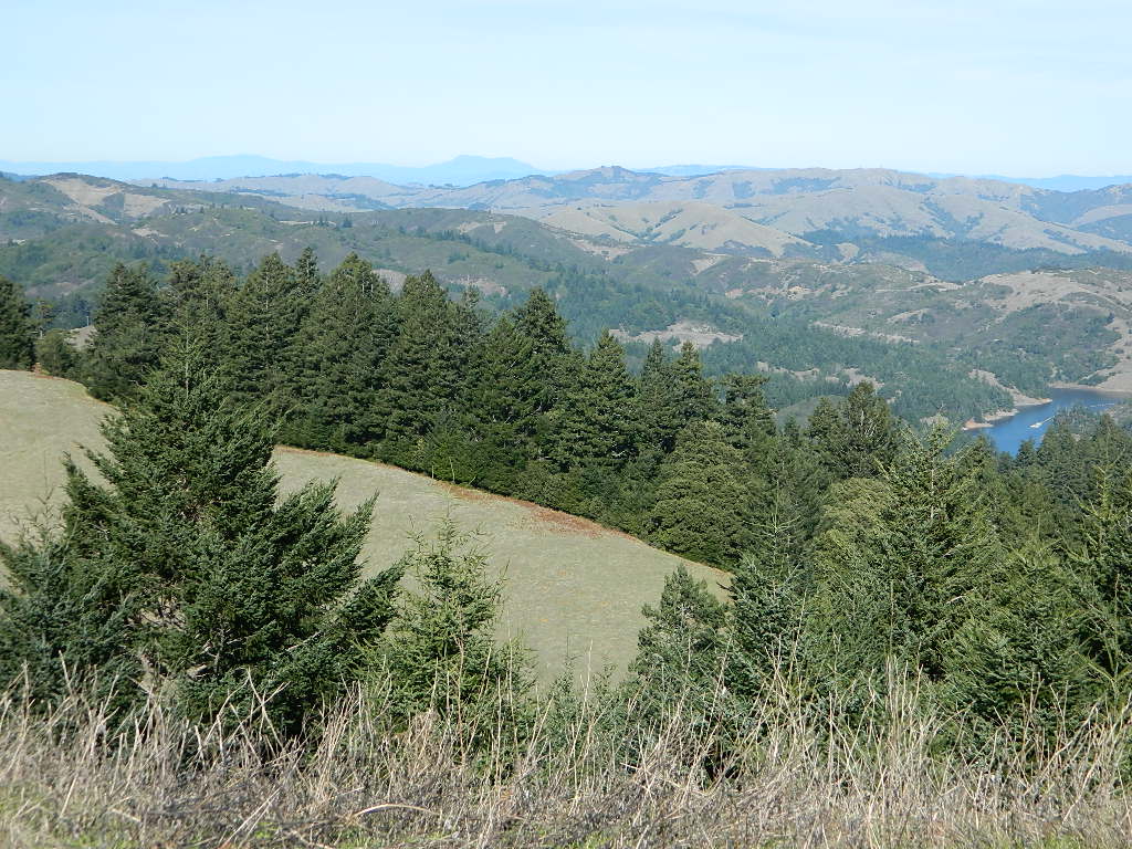
 Welcome to Total Escape’s San Francisco Trail Map overview. The San Francisco Bay Area is one of the most populated areas of the Golden State, although it does offer some of the best “city hiking” anywhere around. Located next to the coast, this area has beaches, cliffs, waterfalls, redwood groves and numerous local mountains.