Desolation Maps

Desolation Wilderness Maps
Westside of Lake Tahoe

High Sierra Granite, Lakes Sierra Nevada California

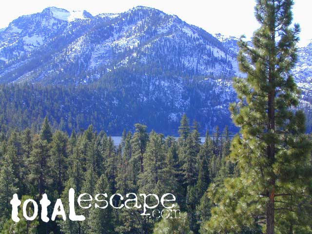
Several maps and books cover this Sierra Wilderness Area located right next to Lake Tahoe, the premier alpine lake destinations on the West Coast. Granite Chief Wilderness and Desolation Wilderness featured on the same map from NatGeo.
Desolation Maps

Desolation Maps

Desolation Wilderness USDA Map

Desolation Map / Desolation Wilderness / Hikes Tahoe

Backpacking & Hiking Trail Map for Desolation Wilderness (Part of El Dorado NF) Waterproof Plastic Paper. Perfect for a day hike reference or extended backpacking adventures. Map Scale = 2″ to mile; ISBN# 9781593514402

Desolation Maps

Tom Harrison & Wilderness Press
publish Desolation Maps too

Desolation Maps

Desolation Wilderness Trail Map
Tom Harrison MapsDesolation Maps
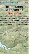
Desolation Wilderness Map Trail Map, Tahoe Lake Camping. Lake Tahoe, CA; Tahoe Westside, Loon Lake camping, Lake Aloha, Emerald Bay, Fallen Leaf Lake, DL Bliss State Park, Echo Lake, Velma Lake, Wrights Lake, Rubicon River, Rubicon 4×4 Trail, Rockbound Valley, Tahoe Rim Trail hiking PCT Pacific Crest Trail; Sierra Nevada High Country Tahoe hiking; Durable, waterproof plastic map; Folded. Map Scale: 42.24K; ISBN# 9781877689611

Desolation Maps

see also –
Lake Tahoe Basin Maps
Tahoe Rim Trail Map
Tahoe Basin Topo Atlas

Desolation Maps

Desolation Books –

Trail Tools Desolation Maps (1996) by Dennis O’Neill

Plumas Books

Plumas Books

Roger’s Cow Camp, Plumas NF

Find Plumas Map

Feather River Map

Plumas National Forest, Rivers and Lakes

campfireA horrific, huge amount of Plumas National Forest has been recently burned by wildfires in recent years, resulting in many trail, lake and campground closures in certain regions. Call ahead to ranger stations to see what is actually open, before you make the long drive.


Plumas Books

Plumas Books

Plumas Books

Plumas Books

Silver Lake has a small campground accessed via dirt road.

Plumas Destinations:Plumas Books

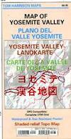
Yosemite Valley Trail Map

Yosemite Valley Map
by Tom Harrison

valleyfloor

  • bike
  • camp
  • climb
  • hike
  • picnic
  • river
  • waterfalls

Tom Harrison Yosemite Valley Map, Topo Trail Map Yosemite Parks, Hiking Trails Yosemite Valley Trails, Yosemite National Park Maps Hiking Trails Topo Map; Regions include – Yosemite Valley Mirror Lake, Yosemite Falls, Half Dome Hiking, Nevada Falls, Mist Trail, Vernal Falls, Yosemite National Park Campgrounds, Trailheads, Shuttle Stops, Merced River. Easily understood w/ several languages too!

Durable, waterproof plastic map; Folded. Map Scale: 24K; ISBN# 9781877689604

valleyfloor

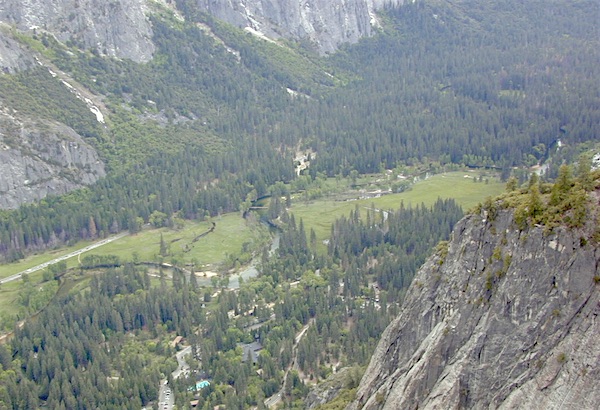
The Valley Floor of Yosemite

avenza mapsdownload digital version of this map –
Yosemite Valley Trail Map

Yosemite Valley Trail Map

OLDER VERSION

Yosemite Valley Trail Map

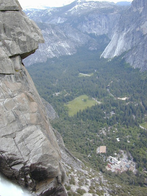
TOP of Yosemite Falls (see water on lower left)

Yosemite Valley represents only one percent of the park area, but this is where most visitors arrive and stay. The Tunnel View is the first view of the Valley for many visitors and is extensively photographed. El Capitan, a prominent granite cliff that looms over Yosemite Valley, is one of the most popular rock climbing destinations in the world because of its diverse range of climbing routes in addition to its year-round accessibility. Granite domes such as Sentinel Dome and Half Dome rise 3,000 and 4,800 feet, respectively, above the valley floor at 4000 feet.

The high country of Yosemite contains beautiful areas such as Tuolumne Meadows, Dana Meadows, the Clark Range, the Cathedral Range, and the Kuna Crest. The Sierra crest and the Pacific Crest Trail run through Yosemite, with peaks of red metamorphic rock, such as Mount Dana and Mount Gibbs, and granite peaks, such as Mount Conness. Mount Lyell is the highest point in the park, standing at 13,120 feet. The Lyell Glacier is the largest glacier in Yosemite National Park and is one of the few remaining in the Sierra Nevada today.
Yosemite Books
The park has three groves of ancient giant sequoia trees; the Mariposa Grove (200 trees), the Tuolumne Grove (25 trees), and the Merced Grove (20 trees). Many of the trees in Mariposa Grove were recently toppled by severe winds in 2020; Groves may be closed due to cleanup efforts.

see also –
All Yosemite Maps by Tom Harrison
Yosemite Books
Half Dome Trail Map

Klamath Books

Klamath River, Klamath Forest, Klamath Tribes

Klamath Books

Klamath Books

Klamath Books

Klamath Books


Klamath Books

Klamath Books

The Klamath Mountains are a rugged and lightly populated mountain range in northwestern California and southwestern Oregon in the western United States. As a mountain system within both the greater Pacific Coast Ranges and the California Coast Ranges, the Klamath Mountains have a varied geology, with substantial areas of serpentinite and marble, and a climate characterized by moderately cold winters with very heavy snowfall and warm, very dry summers with limited rainfall, especially in the south. As a consequence of the geology and soil types, the mountains harbor several endemic or near-endemic trees, forming one of the largest collections of conifers in the world.

The mountains are also home to a diverse array of fish and animal species, including black bears, large cats, owls, eagles, and several species of Pacific salmon. Millions of acres in the mountains are managed by the United States Forest Service. The northernmost and largest sub-range of the Klamath Mountains are the Siskiyou Mountains.

There are extensive hiking trail systems, recreation areas, and campgrounds both primitive and developed in the Klamaths. A 211-mile stretch of the Pacific Crest Trail passes through these mountains as well. This section of the PCT is known locally as “The Big Bend” and is the transition from the California Floristic Province to the Cascades.

The Bigfoot Trail is a 400-mile trail through the Klamath Mountains from the Yolla Bolly-Middle Eel Wilderness to Crescent City, California.

These mountains harbor rich biodiversity, with several distinct plant communities, including temperate rain forests, moist inland forests, oak forests and savannas, high elevation forests, and alpine grasslands. These communities form the Klamath Mountains ecoregion. One of the principal plant communities in the Klamath Mountains is Mediterranean California Lower Montane Black Oak-Conifer Forest.

The ecoregion includes several endemic or near-endemic species, such as Port Orford cedar or Lawson’s cypress, foxtail pine, and Brewer’s spruce, forming one of the largest collections of different conifers in the world. The flowering plant Kalmiopsis leachiana, also endemic to the Klamaths, is limited to the Siskiyou sub-range in Oregon.

Typical species of the Trinity Alps region include Douglas fir, ponderosa pine, red fir, white fir, black oak, canyon live oak, Pacific madrone, bigleaf maple, California Buckeye, incense cedar, and Jeffrey pine. California’s northernmost stand of gray pine is found here along the South Fork of the Salmon River.

see also –

Klamath National Forest Map
Klamath Forest Atlas
Marble Mountains Wilderness Map  
Oregon Dunes Map
Red Buttes Wilderness Map 
Rogue River National Forest Map