Modoc Topo Atlas

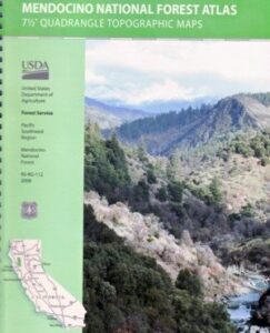
Modoc National Forest Atlas

Topographic Modoc USDA

2024 CURRENTLY UNAVAILABLE
Modoc Atlas

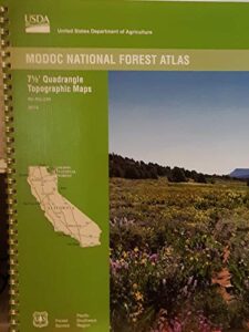
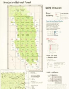
Hike Modoc ForestsUSDA Modoc National Forest Topo Atlas Map. The MODOC atlas is a spiral bound book for Northeastern California – a collection of all the quads. (7.5 minute topographical maps, of all of Modoc National Forest) This book map has detailed contour lines, mountain peaks, streams, lakes, hiking trails & back roads. Backpacking, camping, canoeing, fishing, hiking, hunting, kayaking, mountain biking and with the darkest night skies, stargazing. Atlas is perfect for all kinds of recreational needs.

see also –
Modoc National Forest Map
Fishing Maps for California 

Blue Lake Modoc Map

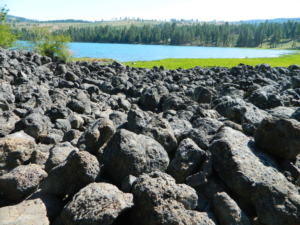
Blue Lake is a volcanic lake in Modoc, California

USDA Modoc National Forest Atlas QUADS:
-from south to north –

  • Lower Klamath Lakefishing map for Modoc
  • Hatfield
  • Newell
  • Carr Butte
  • Sagebrush Butte
  • Steele Swamp
  • Weed Valley
  • Beaver Mountain
  • Pease Flat
  • West of Willow Ranch
  • Willow Ranch
  • Mount Bidwell
  • Lake Anniecanoe lakes in Modoc
  • Mount Dome
  • Captain Jacks Stronghold
  • The Panhandle
  • Copic
  • Double Head Mountain
  • Pinnacle Lake
  • Pothole Valley
  • Hager Basin
  • South Mountain
  • McGinty Reservoir
  • McGinty Point
  • Sugar Hill
  • Fort Bidwellhorseback trails Modoc
  • Larkspur Hills
  • Schonchin Butte
  • Perez
  • Rimrock Lake
  • Lone Pine Butte
  • Boles Meadows West
  • Boles Meadows East
  • Whittlemore Ridge
  • Dead Horse Reservoir
  • Lauer Reservoir
  • Davis Creek
  • Lake Citydirt bike trails off road
  • Medicine Lake
  • West of Kephart
  • Kephart
  • Spaulding Butte
  • Knobcone Butte
  • Ambrose
  • Jacks Butte
  • Big Sage Reservoir
  • Mahogany Ridge
  • Surprise
  • Payne Peak
  • Cedarville
  • Border MountainModoc Camping
  • Hollenbeck
  • Crank Mountain
  • Happy Camp Mountain
  • Washington Mountain
  • Canby
  • Rattlesnake Butte
  • Alturas
  • Dorris Reservoir
  • Shields Creek
  • Warren Peak
  • Whitehorse
  • Egg Lake
  • Donica MountainTruck Camping Lakes
  • Halls Canyon
  • Adin Pass
  • Hermit Butte
  • Graven Ridge
  • Bayley
  • Little Juniper Reservoir
  • Soup Creek
  • Eagle Peak
  • Eagleville
  • Lookout
  • Big Swamp
  • Adin
  • Ambrose Valley
  • Knox Mountain
  • Likely
  • Tile Mountain
  • Jess Valley

    Modoc Trail Map

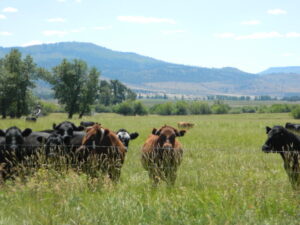
    Jess Valley Cattle

  • Emerson Peak
  • Snake Lake
  • Bieber
  • Hog Valley
  • Letterbox Hill
  • Lane Reservoir
  • Ash Valley
  • Holbrook Canyon
  • Madeline
  • Cold Springs Mountain
  • Boot Lake
  • Little Hat Mountain
  • Dixie Peak
  • Silva Flat Reservoir
  • Said Valley
  • Whitinger Mountain
Lassen Topo Atlas

Mount Lassen Atlas
Lassen National Forest Topo Map

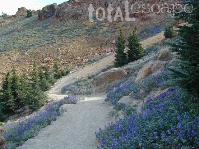
Lupine Hikes to Lassen Peak

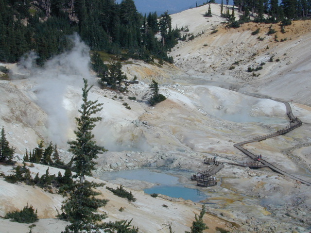
Atlas includes both the Lassen Volcanic National Park & the surrounding Lassen National Forest.

Lassen Atlas

Lassen Peak, Lake Almanor, Buttes Meadows, Westwood, Susanville, Eagle Lake, Hat Creek, Burney Mountain, Lassen National Park

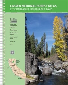
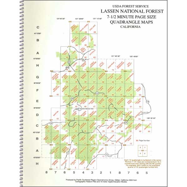
The LASSEN atlas, is a spiral bound book – a collection of all the quads. (7.5 minute topographical maps, of all of Lassen National Forest, plus the Lassen Volcanic National Park) This book map has detailed topo lines, mountain peaks, streams, lakes, hiking trails & back roads. Perfect for all kinds of recreational needs. USDA printed in 2012. ISBN# 9781593519216

road17autumn

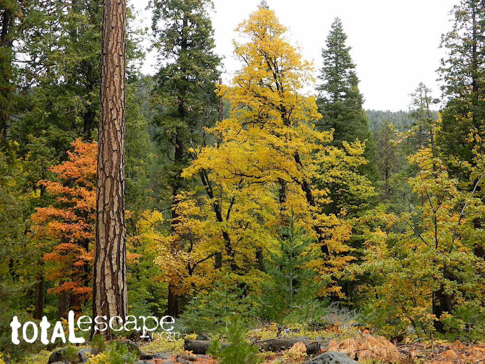
Lassen Road #17 in Autumn

Lassen National Forest
Lassen National Park

Lassen National Forest QUADS:hikers map
from south to north –

PDF maps


Lassen Lakes

Lassen Lakes – for camping, fishing, hiking and kayaking

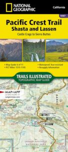
PCT Lassen Map

see also –
Lassen National Forest Map USDA
Lassen Park Maps
Lassen Books
Lassen Camping
Lassen Lakes
Lassen Forest Roads

Lassen Forest Atlas

lassen_atlas

Old version of Lassen Forest Atlas


El Dorado National Forest Map

El Dorado
National Forest Map

Eldorado National Forest Map / El Dorado Camping
Eldorado National Forest Dispersed Camping Map

El Dorado NF

Eldorado National Forest Map
USGS map California: Northern Sierra, Gold Country, Mokelumne Wilderness, South Lake Tahoe.PAPER MAP. Ranger Map – NFS issued map. GPS: Longitude & Latitude; Rivers, Creeks, Peaks, Elevations, 4WD & every dirt Back Road, Hot Springs, Equestrian Areas, all Campgrounds, Hiking Trails & Backpacking Trailheads.camp map

Areas include: Northern Sierra, Gold Country, Mokelumne Wilderness, Desolation Wilderness, South Lake Tahoe, Lower Bear River Reservoir, Silver Lake, Caples Lake, Lake Aloha, Union Valley Reservoir, Cosumnes River, American River, Jenkinson Lake, Crystal Basin and Rubicon Lake and Rubicon Trail. Quality USDA maps created for the National Forest Service. Map Size: 27″x 36″ overall / 4″x9″ folded; Printed on paper un 2015. ISBN# 9781593514921

Gold Country Mountains, California

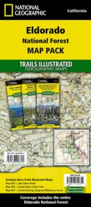
NatGeo is now making a map package with 3 colorful, waterproof maps for the El Dorado forest region. What a deal!!

eldorado map pak

El Dorado Forest

Sierra Rivers Map

California: Sierra Rivers

EldoradoNF

OLD PAPER MAP

see also –

Mokelumne Wilderness Map
Desolation Wilderness Maps
Stanislaus National Forest Map
Toiyabe National Forest Maps
Tahoe Basin Map
Tahoe National Forest Map
Tahoe Rim Trail Map
Lake Tahoe Topo Atlas
4×4 Trail Tahoe Map

Eldorado National Forest Map

Central Sierra Mountains / Gold Country Foothills : El Dorado National Forest

hikers mapWilderness areas near El Dorado Forest:

Mokelumne Wilderness
Desolation Wilderness

Granite Chief Wilderness
Red Lake Wildlife Area

nearby towns:

driftwood

Eldorado National Forest Camping Maps

grizzly flat forest


Mendo Forest Topo Atlas

Mendocino Atlas

Mendocino Topographic Atlas USDA

NorCal Coastal  Forests / Clear Lake California

The MENDOCINO National Forest Atlas, is a spiral bound book – a collection of all the quads. (7½minute topographical maps, of all of Mendo National Forest, California) This book map has detailed topo lines, mountain peaks, streams, lakes, hiking trails & back roads. Perfect for all kinds of recreational needs. Printed in 2016. ISBN# 9781628114201

Mendocino National Forest Atlas

Fouts Springs Camping Area, Mendocino Forest – the EAST SIDE

Mendocino National Forest

Mendocino National Forest QUADS:
from south to north – Mendocino National Forest Atlas

  • Benmore Canyon
  • Clearlake Oaks
  • Lucerne
  • Hough Springs
  • Bartlett Springs
  • Bartlett Mountain
  • Upper Lake
  • Gilmore Peak
  • Fouts Springs
  • Potato Hill
  • Elk Mountains
  • Potter Valley
  • Foster Mountain
  • Van Arsdale Reservoir
  • Lake Pillsbury
  • Crockett Peak
  • Saint John Mountain
  • Stonyford
  • Elk Creek
  • Felkner Hill
  • Kneecap Ridge
  • Hull Mountain
  • Sanhedrin Mountain
  • Brushy Mountain
  • Chrome
  • Alder Springs
  • Plaskett Meadows
  • Plaskett Ridge
  • Thatcher Ridge
  • Newhouse Ridge
  • Mendocino Pass
  • Log Springs
  • Hall Ridge
  • Newville
  • Paskenta
  • Riley Ridge
  • Ball Mountain
  • Buck Rock
  • Leeche Lake Mountain
  • Bluenose Ridge
  • Four Corners Rock
  • Wrights Ridge
  • Soloman Peak
  • South Yolla Bolly Mountains
  • Raglin Ridge
  • North Yolla Bolly Mountains
  • Black Rock Mountain
  • Swim Ridge
Mendocino National Forest Atlas

Dirt Roads = Secluded Camping


2021 UPDATE: Much of this coastal mountain National Forest was ravaged by wildfire both in 2018 and in 2020, so expect to have limited access for a while.

Ranch Fire (2018), part of the larger Mendocino Complex fire, took out all the southern end of the forest, including the Snow Mountain Wilderness.

459,123 acres burned in 2018

https://en.wikipedia.org/wiki/Mendocino_Complex_Fire

https://en.wikipedia.org/wiki/August_Complex_fire

Lightning strike wildfires began in mid-August 2020, wiping out the other half of the forest. With the limited fire fighters during the pandemic, the wildland fires ranged for months, filling the whole of Northern California with thick and toxic smoke. The massive August Complex fire is now the largest in state record – with over a million acres burned.

1,032,648 acres burned in 2020

Needless to say, there will closures on many roads throughout this Mendocino NF region, due to fire cleanup, repairs and salvage logging.  This includes some campgrounds, lakes, and meadows (or glades as they call them).  Contact the local ranger station to find out what is open and when. Gated roads may be found throughout this forest.

Primitive Camping Mendocino

Primitive Camping Road #308