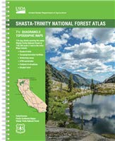
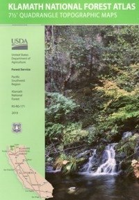
USDA Shasta-Trinity
National Forest Topo Atlas
 The SHASTA-TRINITY FOREST atlas, is a spiral bound book – a collection of all the quads. (7½ minute topographical maps, of all of the Shasta and Trinity back country) This book map has detailed topo, contour lines, mountain peaks, streams, lakes, hiking trails and all back roads. Perfect for all kinds of recreational needs.
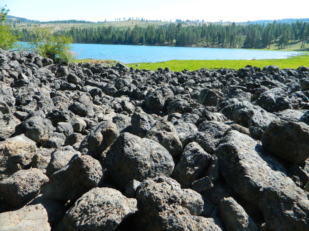
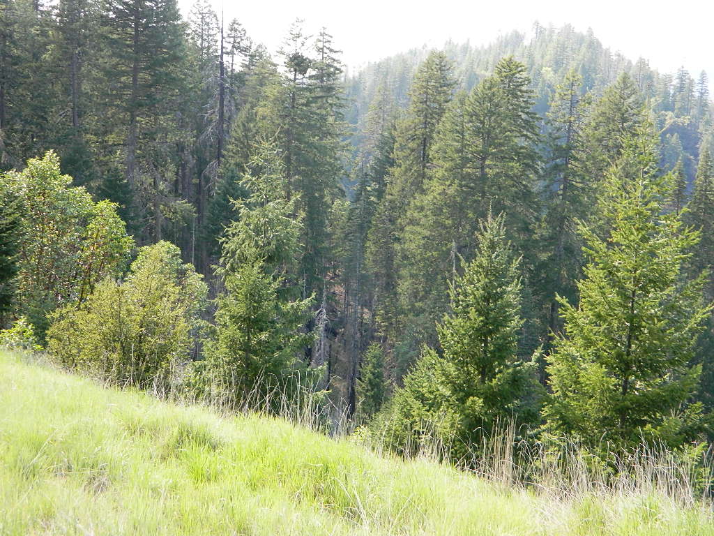
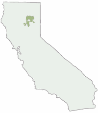
Since this area of Northern California covers two National Forests- both Shasta National Forest and Trinity National Forest, the atlas book is thicker than the average atlas. Topographic maps for miles and miles of forest in between Mount Shasta and Redding, and from Weaverville on the west, to Burney on the east side.

7½ Minute Quadrangle Topographic Maps
119 Map Sheets covering the entire Shasta-Trinity National Forest
Map Scale: 1″ = 1 mile (1:63,360)
Topo Lines – Contour Interval 100 Feet
Folded Dimensions: (L” × W” × D”) 11 × 8.5 × 0.25
Unfolded Dimensions: (L” × W”) 17 × 11
Spiralbound
Shasta-Trinity National Forest
areas covered include:
Lake Shasta
Mount Shasta
McCloud River
Trinity River
Trinity Alps
Trinity Lake (Clair Engle)
Lewiston Lake
Weaverville Basin
Whiskeytown Reservoir
Whiskeytown Lake
Iron Canyon Reservoir
Castle Crags State Park
Yolla Bolly Peaks


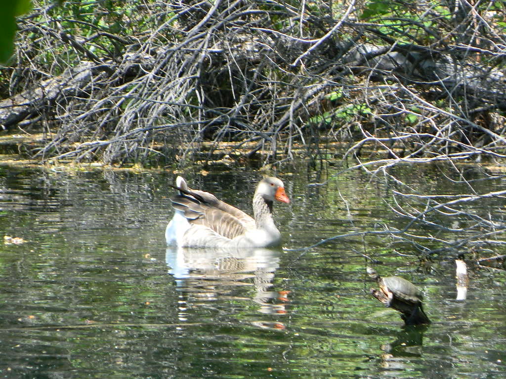
turtle and goose
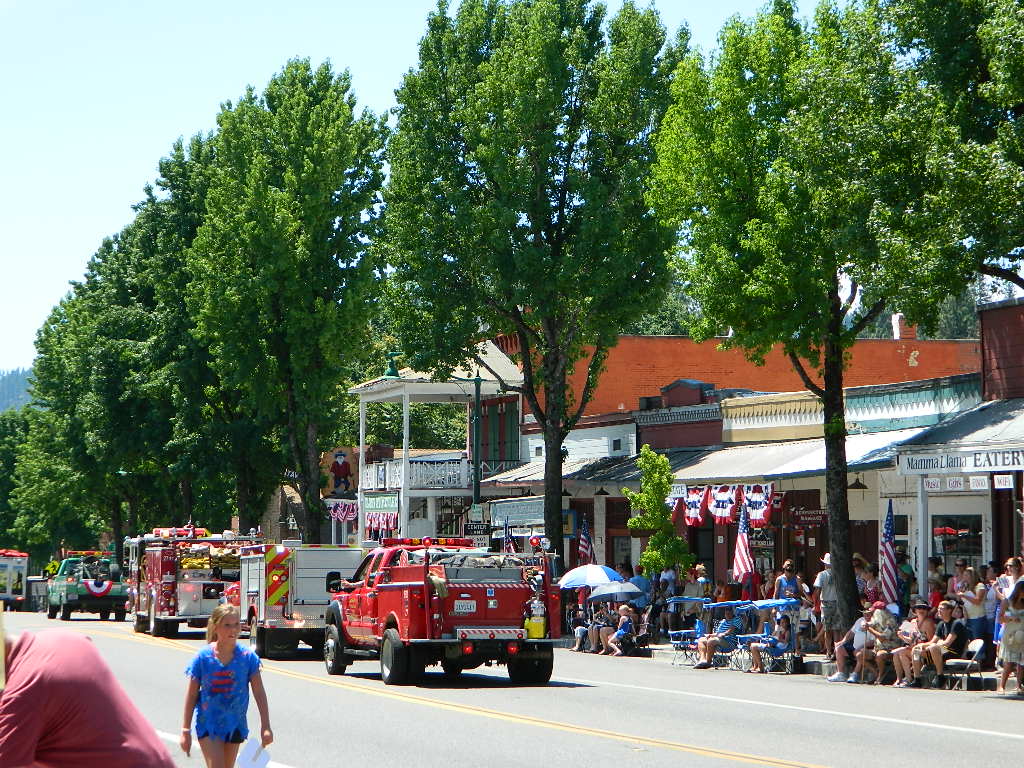
Summer Parade in Weaverville, California
see also –
Shasta-Trinity National Forest Map
Mount Shasta Wilderness Trail Map
Castle Crags Wilderness Map
Trinity Alps Wilderness Map
Shasta Books

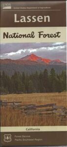
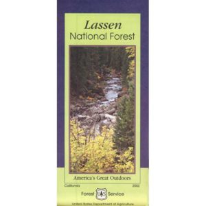
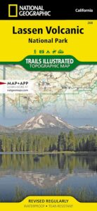
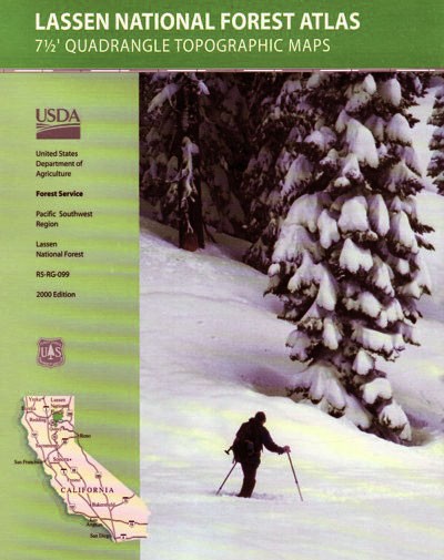
 Lassen National Forest Map includes all of Lassen Volcanic National Park too.