San Gorgonio Wilderness Trail Map

Mount San Gorgonio
(11,502′ elevation)

San Gorgonio Trail Map
Tom Harrison Maps

San Gorgonio Trail Map

San Gorgonio Trail Map. Tom Harrison Trail Map: Big Bear Hiking, San Gorgonio Wilderness CA; Mount San Gorgonio; Old Gray Back, Grayback, Greyback, Big Bear Area: Durable, waterproof plastic map; Folded. Map Scale: 48K; ISBN# 9781877689529

San Gorgonio Wilderness Map, Backpacking Big Bear, Hiking, Hike Gorgonio, Topo Gorgonio, Mount San Gorgonio; Old Gray Back, Grayback, Greyback, Big Bear Area

San Gorgonio Wilderness

San Gorgonio Trail Map

San Gorgonio Trail Map

San Gorgonio Trail Map


San Gorgonio Trail Map

see also –

Big Bear Trail Maps
San Bernardino National Forest Map
San Bernardino Forest Atlas

Dome Land Wilderness Map

DomeLand Wilderness Map

Dome Land Wilderness MapUSDA published this paper map ages ago. Might be found at the Kernville Ranger Station.

hikers mapDomeland Wilderness is located in the Southern Sierra, east of the Kern River, in an area known as the Kern Plateau. Granite domes, forest and meadows.


Dome Land Wilderness Map USDA

Domeland Wilderness

Dome Land Wilderness ( Part of Sequoia NF ) Perfect for a day hike reference or extended backpacking adventures. Scale = 1″ to mile; Printed on paper 1991

Dome Land Wilderness Map

Domeland, Sequoia National Forest

Dome Land, Sequoia National Forest, Domelands Southern Sierra, Wilderness, Trail, Map

Face it, the Kern River Canyon can get pretty busy and camping can be crowded on weekends. Look forward to exploring new trails and camps east of the river. Up Sherman’s Pass – onto secluded forests, with OHV trails, mountain bike trails, horseback riding trails, meadows and much more. Seeking the east side of Kern, for access to South fork of the Kern River, which runs near the PCT and through Kennedy Meadows, CA

Domeland Wilderness is situated in between the Chimney Peak Backcountry Byway and the Big Meadow Road #22S12

NFS Campgrounds nearby:camp map

BIG MEADOW Sequoia NF

forestandmeadow

Dome Land Wilderness Map

Granite, as viewed from Bald Mountain Fire Lookout, off Shermans Pass Road

Alternate Map for the Kern Plateau

see also – camp map

Southern Sierra Map
Sequoia National Forest Map
Sequoia Forest Topo Atlas
Golden Trout Wilderness Trail Map 

NatGeo Yosemite Maps

Yosemite Map California 

Yosemite National Park Maps byYosemite Map California
National Geographic: Trails Illustrated Maps

Overview Yosemite National Park Map #206


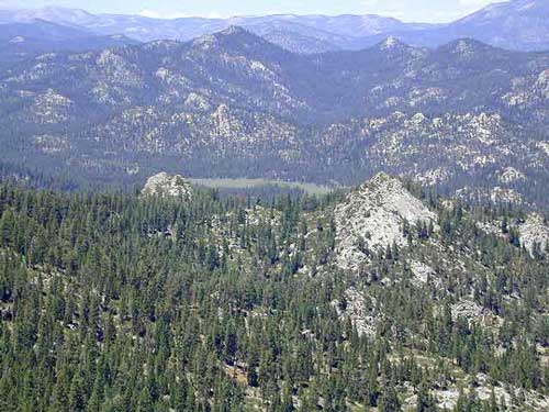
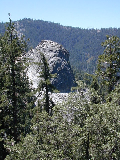
Central Sierra Nevada Mountains

2-sided, full color, waterproof maps

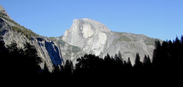
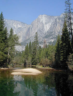
Yosemite is the most visited National Park in all of California, which is why NatGeo makes 5 maps for this region – so we can all spread out a little. Map bundles and a day hike guide is also available.

Yosemite Map California
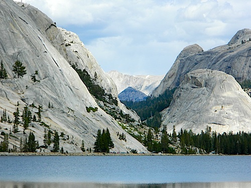
The main hub, Yosemite Valley, is the busy region – so try to avoid it during summer (if at all possible). Tuolumne Meadows and Tioga Pass on Hwy 120 is considered the high country and has numerous trailheads leading to peaks, domes, viewpoints, waterfalls, alpine lakes, and the famous wilderness w/ High Sierra Camps (HSC). The paved route (SR 120) closes annually for winter snow (more than half the year), so reservations are required if planning an overnight stay.

Yosemite Map California

TOPOGRAPHIC HIKING MAPS
for Yosemite backcountry listed below:

NatGeo Map #307 Yosemite NW – Hetch Hetchy Reservoir

Yosemite Map California

NatGeo Map #306 Yosemite SW – Wawona & Yosemite Valley

Yosemite Map California

NatGeo Map #308 Yosemite NE – Toulumne Mdws & Hoover Wilderness

Yosemite Map California

NatGeo Map #309 Yosemite SE – Ansel Adams Wilderness

Yosemite Map California

Yosemite Map California

NatGeo Yosemite Park Map Bundle – Yosemite Map Pack

Yosemite Map California

NatGeo Yosemite Park Hiking Map – Yosemite Day Hikes

Yosemite Map California

Yosemite Map California

see also –

All Yosemite Trail Maps by Tom Harrison
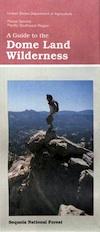
Yosemite Books

Find Yosemite Maps by National Geographic
Find Yosemite Maps by Tom Harrison

Yosemite National Park Books

Yosemite Books

Yosemite Books

Yosemite Books

Yosemite Books

Yosemite Books

Yosemite Books

Yosemite Books

Yosemite Books

Yosemite Books

Yosemite Books

Yosemite Books

Yosemite Books

Yosemite Books

Yosemite National Park is internationally recognized for its granite cliffs, waterfalls, clear streams, giant sequoia groves, lakes, mountains, meadows, glaciers, and biological diversity. Nearly 95% of the park is designated wilderness.

Yosemite is one of the largest and least fragmented habitat blocks in the Sierra Nevada, and the park supports a diversity of plants and animals. The park has an elevation range from 2,127 to 13,114 feet and contains five major vegetation zones: chaparral and oak woodland, lower montane forest, upper montane forest, subalpine zone, and alpine. Of California’s 7,000 plant species, about 50% occur in the Sierra Nevada and more than 20% are within Yosemite. The park contains suitable habitat for more than 160 rare plants, with rare local geologic formations and unique soils characterizing the restricted ranges many of these plants occupy.

The geology of the Yosemite area is characterized by granitic rocks and remnants of older rock. About 10 million years ago, the Sierra Nevada was uplifted and then tilted to form its relatively gentle western slopes and the more dramatic eastern slopes. The uplift increased the steepness of stream and river beds, resulting in the formation of deep, narrow canyons. About one million years ago, snow and ice accumulated, forming glaciers at the higher alpine meadows that moved down the river valleys. Ice thickness in Yosemite Valley may have reached 4,000 feet during the early glacial episode. The downslope movement of the ice masses cut and sculpted the U-shaped valley that attracts so many visitors to its scenic vistas today.

domes of yosemite