Mount Diablo Map

Mt Diablo Map
San Francisco East Bay

Connecting regional parks and state park lands; includes the 30 mile long Diablo Trail and the Los Vaqueros Reservoir at Livermore, CA

Mount Diablo is the tallest mountain peak in the East Bay San Francisco area. Hiking trails, horseback riding, a developed campground and picnic spots.

Mount Diablo Map

Mount Diablo Map

Marin Hiking Maps

Marin Hikes: Bay Area Trail Maps

Marin Hiking Maps

Tom Harrison Maps for Marin County

Marin Hiking Maps

Tom Harrison makes the most topographic trail maps for the San Francisco Bay Area, which include hiking, mountain biking routes as well as trail camps and campgrounds. Printed on waterproof plastic, the durable outdoor maps are known to last decades and are indeed, tear-resistant.

North Marin, Novato Map

Marin Hiking Maps

Tom Harrison Trail Map: Marin Hiking Trails, North Marin County, Novato California Hikes. Rush Creek, Marin Deer Island, Indian Tree, Little Mountain, Verissimo Hills, Stafford Lake County Park, Olompali State Park, Petaluma Marsh, Mount Burdell. Petaluma Hikes Marin. Durable, waterproof plastic map; Folded. Map Scale: 24K; ISBN# 9781877689963

Marin Hiking Maps

Marin Hiking Maps

Central Marin, San Rafael Map

2022 currently unavailable on Amazon

Marin Hiking Maps

Tom Harrison Trail Map: Marin Hiking Trails, Central Marin, San Rafael California Hikes. China Camp State Park, Terra Linda, San Pedro Mountain, Sleepy Hollow, Corte Madera Marsh, Sun Valley Hikes, Fairfax, California, Ross Valley, Greenbrae, Baltimore Canyon Preserve, Blithedale Summit, King Mountain, San Pedro Mountain. Durable, waterproof plastic map; Folded. Map Scale: 24K; ISBN# 9781877689949

Marin Hiking Maps

Southern Marin Hiking Map

Southern Marin County Hiking Map, Marin Redwood Forests, Marin Topo Map. Mill Valley Trails, Fort Baker, Ring Mountain Trails, Horsehill Preserve Marin Headlands, Tiburon Peninsula, Rodeo Valley, Oakwood Valley, Tennessee Valley mountain bike trails, equestrian, paragliding spots, parasail, biking trailheads Marin beaches, backpacking topos, beach waterfalls. Mountain Biking Maps. Tom Harrison; Mill Valley Hiking Maps. Durable, waterproof plastic map; Folded. ISBN# 9781877689901

Marin Hiking Maps

hiking

Marin Hiking Maps

Zuma Canyon Trancas Map

Zuma Canyon Map

Zuma Canyon Map

Zuma Canyon & Trancas Canyon Hiking Map
Tom Harrison

Malibu Beach Map. Zuma/Trancas Canyons Hiking Map, Mountain Biking Trail Maps, Malibu Hiking Trails Coastal Hikes; Rocky Oaks Circle X Ranch, Arroyo Sequit, Biking Backbone Trail, Malibu Springs, Leo Carillo Beach Camping, Leo Carillo State Park, Zuma Canyon, Truncas Cyn, Charmlee Wilderness Park Trails. Durable, waterproof plastic map; Folded. Map Scale: 31.7K; ISBN# 9781877689871

Zuma Canyon Map

The name Zuma is derived from a Chumash word meaning “abundance”. Zuma and Trancas Canyons lies within the Santa Monica Mountains National Recreation Area.

Zuma Canyon contains a number of trails for hikers, of varying severity, and is the home of a range of wildlife, including the wrentit. The eastern boundary is marked by Kanan Dume Road (N-9) and the north end is crossed by the popular Backbone Trail, a 67 mile mountain bike path through the Santa Monica Mountains.

topo maps

see also – 

Malibu Creek Map
Point Mugu Trail Map
Santa Monica Mountains Map
Topanga Canyon Map

trail maps

nearby towns:

Topanga Canyon Map

Topanga Trail Map
Topanga Canyon Map

Topanga Canyon Map

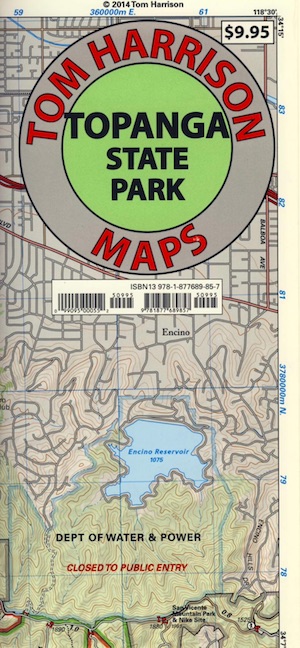
Topanga State Park Map
Tom Harrison

Topanga Canyon MapTopanga Canyon Map, Topanga State Park Map, Topanga Hiking Maps, Backpacking Topanga, Malibu Maps; Will Rogers Park, Tuna Canyon, Biking Trail, Red Rock Canyon Malibu, Temescal Canyon, Temescal Gateway Hike. Durable, waterproof plastic map; Folded. Map Scale: 31.7K; ISBN# 9781877689857

BACKBONE TRAIL
on Santa Monica Mountains NRA

Los Angeles County

Topanga Canyon Road is California State Route 27 (Hwy 27) a paved highway connecting the San Fernando Valley to the Malibu coast. Hiking and mountain biking trails, waterfalls, hidden restaurants and a large residential population in these hills.

horse trail maps

Topanga Canyon
Topanga Hiking Topo Map

  • hike
  • horseback
  • mountain bike
  • picnic

Topanga Canyon Map

nearby towns:

Topanga Canyon Map

Topanga State Park

Covering 11,000 acres, with 36 miles of trails and unimproved roads, the boundaries stretch from Topanga Canyon to Pacific Palisades and Mullholland Drive. There are more than 60 trail entrances. Topanga State Park is the largest park in the Santa Monica Mountains.

Topanga State Park was opened to the public in 1974. Land includes more than 7,500 acres from the original Rancho San Vicente y Santa Monica land grant. Additional acreage has been added in the form of 1,500 acres from the Palisades Highlands and another 1,600 acres added in 2002, near the mouth of the Topanga Creek

The word Topanga is an old Shoshonean language word meaning ‘above’ and referring to the canyon settlement being above the flood waters of Topanga Creek. The Tongva and Chumash peoples inhabited the area for thousands of years

california indpendent

see also – 

Santa Monica Mountains Map
Malibu Creek Map
Zuma Canyon Map
Point Mugu Map
Channel Islands Map
L A Hiking Maps