American River
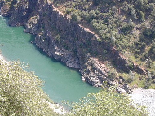
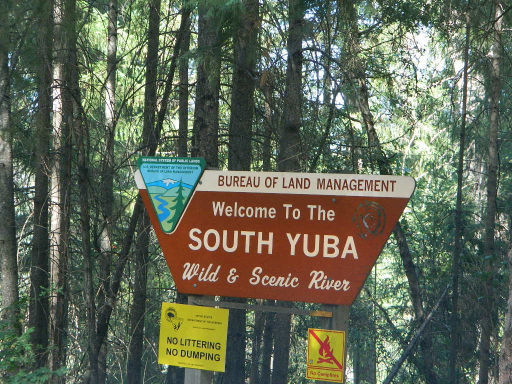
Yuba River, California

Yuba & American Rivers
Tahoe NF Map #804 by NatGeo
2 Gold Country Rivers:
 Trails Illustrated Map from National Geographic. Yuba River & American River inside Tahoe National Forest map #804. Granite Chief Wilderness, Forest Hill Divide, Downieville, New Bullards Bar Reservoir, Pacific Crest Trail (PCT). Mountain bike Trails, routes, hiking trail milage. High country map. Many rivers, roads and trails to explore. 2-sided map. Very detailed & colorful. Waterproof Plastic Map; Tear Resistant. GPS data. Scale = 1:63,360 ISBN#9781566954259
Topo Map for Gold Country Rivers:
Yuba River & American River
The Yuba River is located in the northern Sierra Nevada mountains, north Gold Rush Country near Nevada City, California. Three major forks make up this watershed:
- North fork of the Yuba flows out of the Lakes Basin and Sierra Buttes, paralleling Highway 49 south of Downieville.
- Middle Yuba fork flows down from the mining camps near Alleghany and above that, Jackson Meadows Reservoir.
- South Yuba River State Park is the south fork which flows past Highway 49 and down to a historic covered bridge.


American River is the main Sierra river flowing into the cities of Auburn and Sacramento. This river is located in the central west Sierra Nevada mountains, the center Gold Rush Country. Three major forks make up this watershed:
- North fork of the American drains down the mountains, right next to Interstate 80, west of the Donner Pass.
- Middle fork of the American is the smallest and least accessible, skirting down the deep canyons near Foresthill, flowing down from Mosquito Ridge and the French Meadows Reservoir.
- South fork of the American comes into Placerville, paralleling the main route of US Highway 50


see also –
Tahoe National Forest Map
Tahoe 4×4 Guide Map
Eldorado National Forest Map
South Yuba State Park Map
Lakes Basin Recreation Area Map
