Los Padres Map East

Los Padres NF East
NatGeo Map #812

Los Padres Map EastNational Geographic Map Los Padres NF Frazier Park

NatGeo Trails Illustrated Los Padres National Forest Map #812. North Los Angeles Trails, Los Padres National Forest, Tejon Pass area @ Interstate 5. Chumash Wilderness, Dick Smith Wilderness, Matilija Wilderness, Sespe Wilderness, Hungry Valley SVRA, Hungry Valley Park, Sespe Condor Sanctuary, Lake Castias, Frazier Park Map, Santa Barbara Mountains, Ojai Camping, Pine Mountain Club, Ozena Lockwood Valley, Los Padres Hiking Trails.

GPS Compatible, Full UTM Grid. Waterproof ISBN# 9781566955805

Mount Pinos

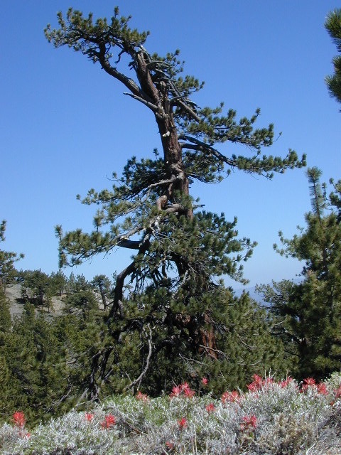
Wildflowers bloom on Mount Pinos

hikers map

Los Padres Map East

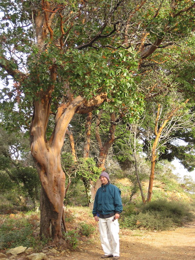
Mil Potrero Highway – East of PMC

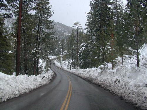
Los Padres National Forest, Frazier Mountains, Mount Pinos Map

see also – Los Padres Map East

Los Padres West Map
Los Padres South Map
Los Padres North Map
Los Padres Forest Atlas

Dick Smith Wilderness Map
Sespe Wilderness Trail Map

Pine Mountain Marin Trail Map

Pine Mountain Trail Map
Tom Harrison Maps

Pine Mountain Trail Map

Pine Mountain Trail Map by Tom Harrison; Marin County Pine Mountain; Loma Alta, Gary Giacomini, Roy’s Redwoods, French Ranch, White Hill, Cascade Canyon, Marin Municipal Water District. Marin County Hikes, Marin Hiking Trails, Topo, Topographic Maps California, SoCal Hiking Trails, SF Hikes Bay Area Trails. Durable, waterproof plastic map; Folded. Map Scale: 24K; ISBN# 9781877689826

Scale is 1:24,000 (1 inch represents 2000 feet) the contour interval is 40 feet.

This is a little-known area in Marin County, north of Mount Tamalpias. It is very isolated and used by mountain bikers and horse riders.

Pine Mountain of Marin County, California, just West of San Rafael and NW of Marin City. This map includes most of the trails in the Marin Water District, along with portions of the Coastal Trail above Stinson Beach and Bollinas Lagoon. The upper section of the map covers a variety of hiking, biking and horseback riding opportunities off upper Sir Francis Drake Boulevard, in the San Geronimo Valley and along Big Carson Ridge.

  • Pine Mountain Trail Mapbackpack
  • camp
  • hike
  • horseback ride
  • mountain bike
  • picnic
  • trail runs

Marin County Hikes: Pine Mountain

Marin Hikes

Pine Mountain Trail Map

OLDER VERSION

horse trail maps

see all Marin Hiking Maps