Santa Cruz Hiking Maps
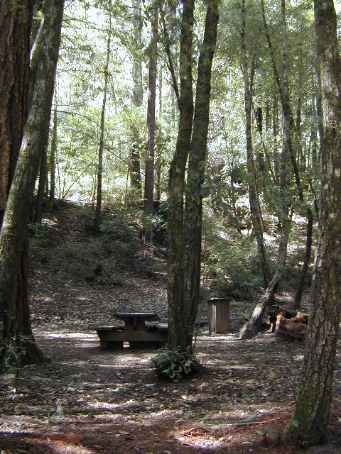
Redwoods of the Santa Cruz Mountains
Santa Cruz Mountains Map, when you need all the trails choices you can handle. Unfortunately Big Basin State Park is currently closed, due to severe damage from the 2020 wildfire. But don’t fret, Total Escape has listed here other maps and redwood parks, so you can find some decent place to hike, bike, run and/or camp in the Santa Cruz Mountains.
Trails Illustrated and National Geographic cover this coastal redwood forest region with two colorful topo maps; waterproof plastic.
Big Basin Santa Cruz Map #816


Skyline Boulevard Map #815


Santa Cruz Redwoods
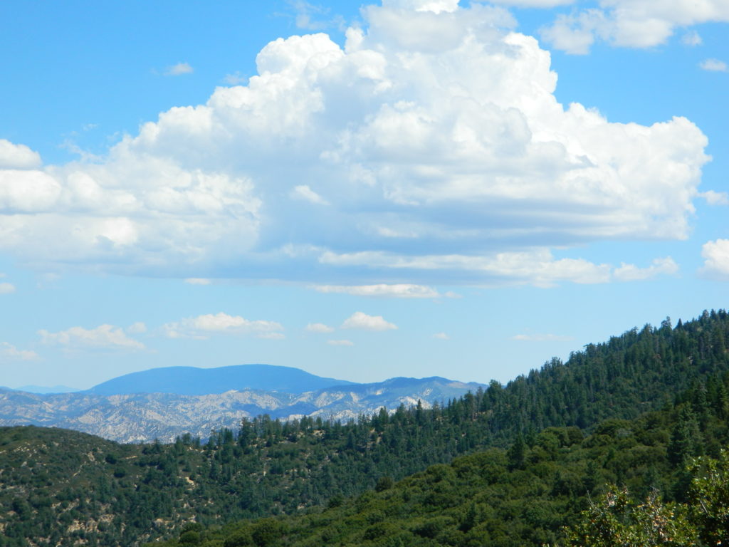
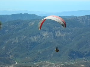
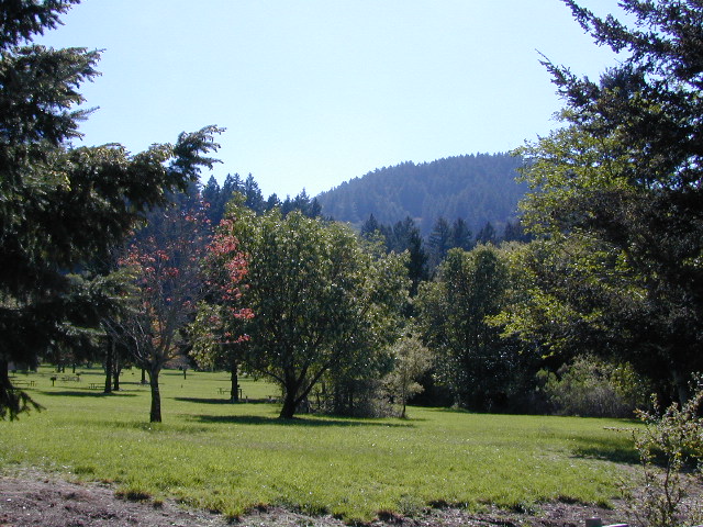
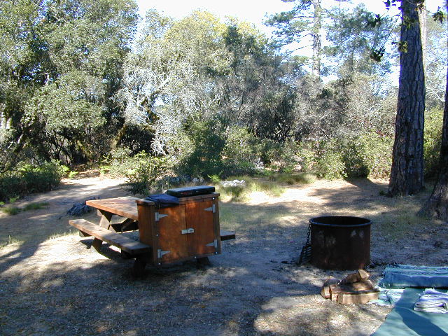
The coastal mountain area is heavy on residential and much of the range and forest is private land. Several State Parks and a few county parks are central hubs for outdoor recreation, all year round. Hike or backpacking; camping options available in most parks. RV camping limited. Mountain bikes are allowed only in SOME areas, so do your research online before you make the drive. Wildflowers on the top, open ridges; Waterfalls and redwoods in the canyons.

PARKS IN THE REGION –
Ano Nuevo State Park
Big Basin State Park
Butano State Park
Castle Rock State Park
Forest of Nisene Marks State Park
Henry Cowell State Park
Portola State Park
Quail Hollow Ranch County Park
Sam McDonald County Park
Sanborn County Park
Soquel Forest
Wilder Ranch
Sanborn Park, South Bay @ Hwy 9

Henry Cowell, Wilder Ranch, Nisene Marks Map
Soquel, Aptos Hiking Map, Santa Cruz Redwoods
Scotts Valley along Highway 17, is a residential area that is located mere minutes from the Santa Cruz coastline and is host to more redwood parks. Hike, camp, golf, mountain bike, picnic or just sightsee in these beautifully forested hills above Monterey Bay.


Pescadero Creek & Portola Redwoods Map
Santa Cruz Mountains California
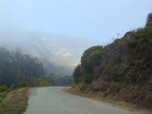
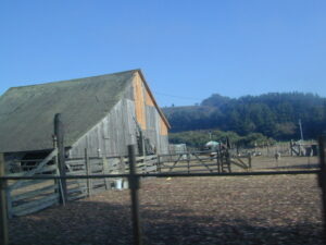
Just north of Santa Cruz, along the coastline is a small farming community called Pescadero, which is tucked back up against Portola Redwoods State Park. Pescadero Creek runs through this location and makes for some mighty fine scenery and trail hikes. Fog is quite common here, but the sun does break through the farther inland you travel.


see also –
San Francisco Trail Maps
SF Bay Area Map
Big Sur Map