National Geographic
Baja Maps
- camp
- fish
- hike
- kayak
- missions
- off-road
- petroglyphs
- RV
- scuba
- surf
- travel
Baja California, North & South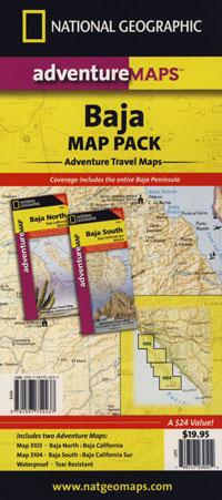
The Baja California Map Set from National Geographic. Includes both maps: Baja Norte & Baja Sur Maps. #3103 & #3104. Topographical features, towns, ranchos, main dirt roads, coves, beaches, fishing spots, surf spots, sailing; beautifully detailed. GPS compatible w/ full UTM grid. Printed on plastic in 2008. Waterproof, tear-resistant. ISBN# 9781597752237
Baja California Mexico, BC MX, Baja Norte, Baja Sur, Baja Maps, Map Set, Bundle, National Geographic Maps
 get a digital version of this 2 map set
Baja Map Pack by NatGeo
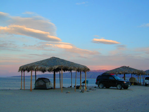
Gonzaga Bay, Baja California
NatGeo Baja Maps
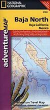
Baja California Norte Map / Map of Baja Norte / Baja California
Baja California maps by National Geographic #3103. Baja Norte Map. This map covers the northern portion of Baja California Mexico. Topographical features, towns, ranchos, main dirt roads, coves, beaches, fishing spots, surf spots, sailing; beautifully detailed. GPS compatible w/ full UTM grid. Waterproof, tear-resistant. ISBN# 9781566952439
get a digital version of this map
NatGeo Map 3103 – Baja California North
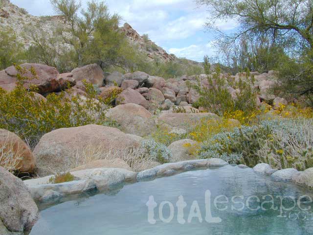
Guadalupe Canyon Hot Springs, Baja California

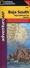
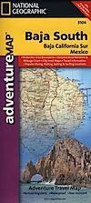
Baja Road Map / Baja Sur Mexico Map
Baja Sur Map from National Geographic #3104. This map covers the southern portion of Baja California Mexico. Topographical features, towns, ranchos, main dirt roads, coves, beaches, fishing spots, surf spots, sailing; beautifully detailed. GPS compatible w/ full UTM grid. Waterproof, tear-resistant. ISBN# 9781566952446
get a digital version of this map
NatGeo Map 3104 – Baja California South
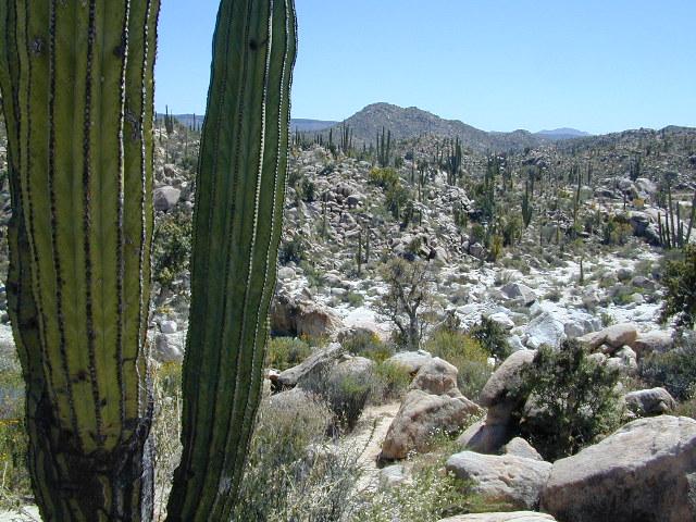
Cacti at Catavina
NatGeo Baja Maps
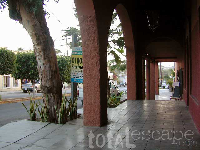
Todos Santos, Baja California Sur
see also –
Anza Borrego Desert Map
Baja California Almanac
San Diego Backcountry Map












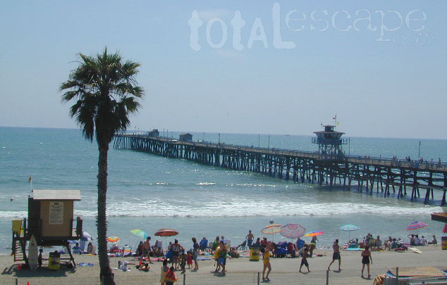
 Home to Disneyland, the O.C. was the orange growing region of Southern California – until the developers took over, turning it into shopping, freeways and large residential neighborhoods we know today. The Orange County beaches are by far the hot spots, with places like San Juan Cap, Dana Point & Laguna Beach. Lots of surf memorabilia & surf culture.