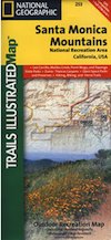
Santa Monica Mts National Recreation Area, NatGeo Map #253

Santa Monica Mountains NRA
- Los Angeles Hiking
- Backbone Trail
- Malibu Hikes
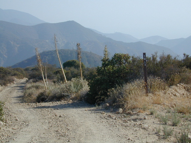
- Coastal Mountains
Trails Illustrated Map from National Geographic. Santa Monica Mountains NRA Map #253. Santa Monica Mountains National Recreation Area, California. Leo Carrillo, Malibu Creek, Point Mugu, Topanga State Parks. Zuma Canyon, Trancas Canyon. Horse trails too. Biking, Camping & Hiking Map. Very detailed & colorful. Waterproof Plastic Map; Tear Resistant. UTM grid printed on map to aid with GPS navigation. ISBN# 9781566954471
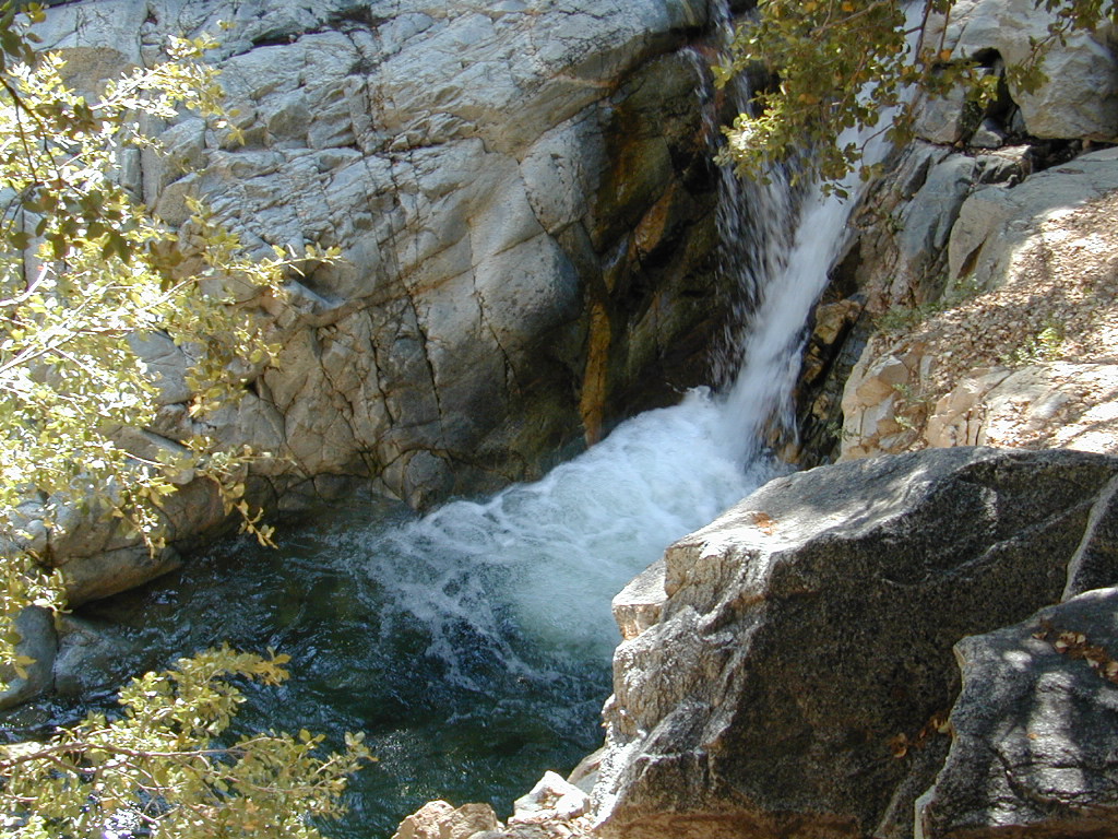
Map details the largest urban park in the US, with terrain spanning from Point Mugu State Park to Will Rogers State Beach. Key areas of interest including Runyon, Franklin, Mission, and Tuna Canyons; Las Virgenes Canyon Open Space; Zuma Trancas Canyons; Marvin Braude Mulholland Gateway, Rustic Canyon, and Temescal Canyon parks; Paramount Ranch; and State Parks of Topanga, Malibu Creek, Point Mugu, and Leo Carrillo.
Miles of trails including the popular Backbone Trail, this map can guide you off the beaten path and back again whether you’re traveling by foot, bike, or horse. The Mulholland Scenic Corridor is noted for those wishing to take in the scenery by car. Other features found on this map include: Agoura Hills, Beverly Hills, Calabasas, Camarillo, Culver City, Encino Reservoir, Franklin Canyon Reservoir, Malibu, Point Dume, San Fernando Valley, Santa Monica, Santa Monica Mountains, Santa Monica Mountains National Recreation Area, Sepulveda Dam, Stone Canyon Reservoir, Thousand Oaks.
- backpack
older version
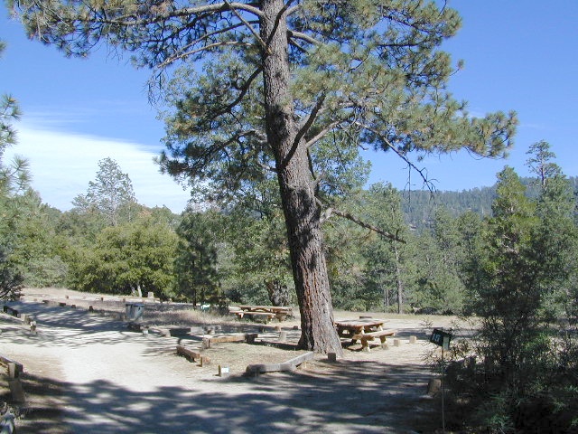
- camp
- mountain bike
- hike


see also –
Malibu State Park Map
Point Mugu State Park Map
Topanga Canyon Map
Zuma Canyon Map