Lake Tahoe Basin
Tahoe Basin Topo Atlas
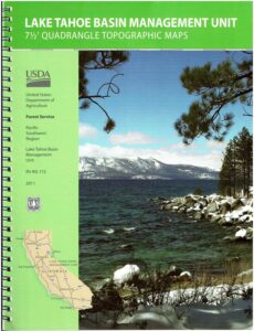
 This TAHOE atlas, is a spiral bound book – a collection of all the quads. (7.5 minute topographical maps, of all of Lake Tahoe Region). This book map has detailed topographic features, contour lines, mountain peaks, streams, lakes, hiking trails & back roads. Perfect for all kinds of recreational needs.
Lake Tahoe Forest QUADS:
from north to south –
- Truckee
- Martis Peak
- Mount Rose
- Tahoe City
- Kings Beach
- Marlette Lake
- Wentworth Springs
- Homewood
- Meeks Bay

- Glenbrook
- Rockbound Valley
- Emerald Bay
- South Lake Tahoe
- Minden
- Pyramid Peak
- Echo Lake
- Freel Peak
- Caples Lake
- Carson Pass

National Geographic has a waterproof map publication for this popular lake as well.

And there is still the old USFS paper map for the Tahoe Basin

see also –
Tahoe Rim Trail Map
Tahoe National Forest Map
Lake Tahoe Books
Lake Tahoe Maps
4×4 Tahoe Trail Map
