South Warner Map USDA
 Warner Wilderness / South Warner Mountains
South Warner Wilderness
South Warner Wilderness Map, Scale = 1″ to mile; Perfect for a day hike reference, horseback or extended backpacking adventures.
 PLASTIC MAP; waterproof & tear resistant. Ranger Map – NFS issued map. GPS: Longitude & Latitude; Rivers, Creeks, Peaks, Elevations, 4WD & every dirt BackRoad, Hot Springs, Equestrian Areas, all Campgrounds, Hiking Trails & BackPacking Trailheads. ISBN# 9781593514747
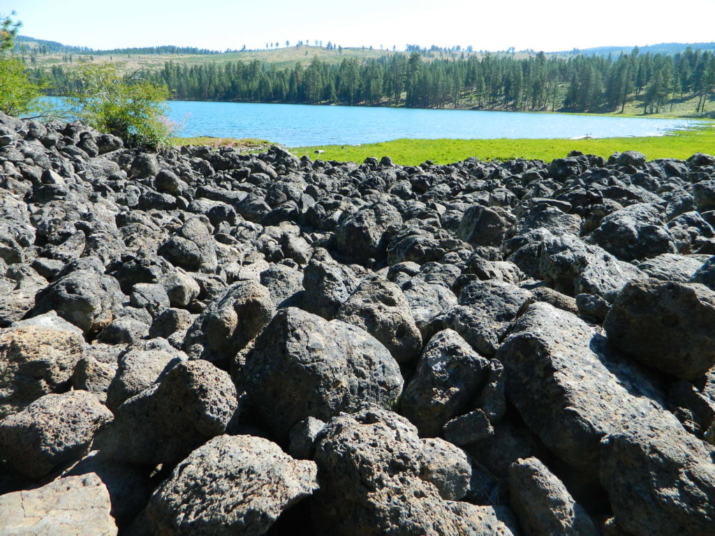
Blue Lake in Modoc
Mill Creek Falls
see also –
Fishing Maps for California
Modoc Books
Modoc National Forest Map
Modoc Topo Atlas
towns nearby:
please note: ISBN MISPRINT (2010) the USDA has accidentally printed the new plastic Six Rivers National Forest with the exact same ISBN# as this South Warner map. The official number belongs to this Wilderness map on this page, and the Six Rivers reprint may not be for another decade. Yee haaw. Your tax dollars, hard at work.