California Coastal Maps
Southern Cal is home to epic beaches, some do have camping and reservations are highly recommended (at any time of year).
 Freebie one-page hiking maps of these regions below can usually be found at the park ranger office. Beach Parks include:
- Silver Strand SB
- Point Loma – Cabrillo NM
- Sunset Cliffs & La Jolla Cove
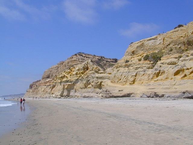
- Torrey Pines State Reserve
- San Elijo SB
- Carlsbad SB
- San Juan Capistrano SB
Malibu Creek State Park Map
Topanga Canyon Map
Zuma Canyon Map
Point Mugu State Park Map
Channel Island National Park Map by NatGeo
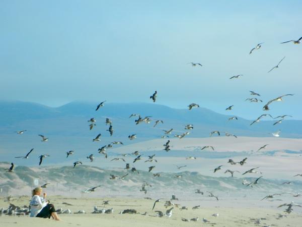
Guadalupe Dunes, Central Coast
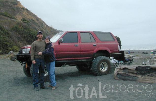
Central Coast California where the real rugged terrain begins. North of Los Angeles, where the mountains meet the sea.
Oceano SVRA (State Vehicular Recreation Area)
[aka Pismo Dunes]
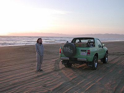
Pismo – Camp on the Beach
Los Padres National Forest
2 USDA Maps covers south & north
Los Padres WEST Map by NatGeo
Big Sur Coast Map by NatGeo
![]()
Bay Area – San Francisco Hiking Maps
Dipsea Mountain Play Trail Map
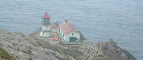
Point Reyes Lighthouse
![]()
North Coast California begins with wine country, North of San Francisco and tops out with the coastal redwood parks.

Lost Coast Map
Sinkyone Wilderness State Park
Online Trail Map of Sinkyone
Redwood Map by NatGeo
National Park + State Parks
Usal Beach @ Lost Coast
Pacific Coast, North |
Pacific Coast, South |
