

Detailed Map of Baja Mexico
Baja California MX

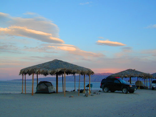
Camping Gonzaga Bay
2021 – New MAP for Baja!!!
Benchmark Baja California
Road & Recreation Atlas


Release date MAY 2021 – announcing a brand new atlas for Baja California, created by none-other than Benchmark Maps.


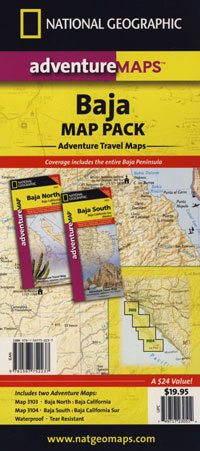
National Geographic has Adventure Maps for Baja California
full color, 2 sided, waterproof, tear resistant, topographic maps
NatGeo Baja Map NORTH
(Baja Norte)


OLDER VERSION
![]()

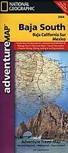
NatGeo Baja Map SOUTH
(Baja Sur)


OLDER VERSION
![]()


Dining Out in Baja
National Geographic Adventure Map Pack
Baja California 2 Map Set


OLDER EDITION

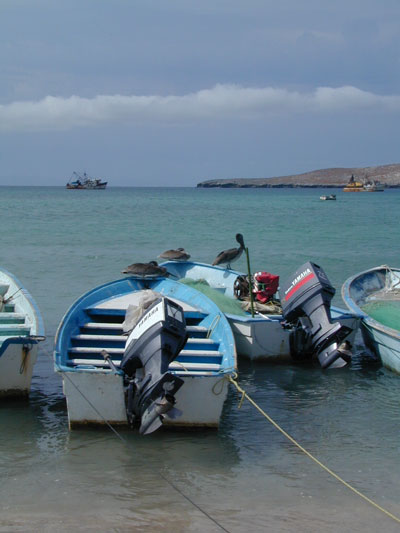
La Paz Coast Baja – Sea of Cortez
see also –