
Grand Canyon Maps


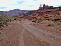
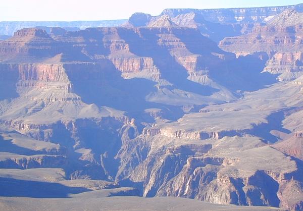
The Colorado River carves out the Grand Canyon, the largest National Park in the nation. 2019 marked the park’s 100th birthday!![]()


The large river flows south from the Rocky Mountains of Colorado, down through the red rock deserts of the Southwestern US; separating Arizona from California, down to Baja California and the Sea of Cortez
North Rim of Grand Cyn = Utah
(8000′ elevation) conifer forests
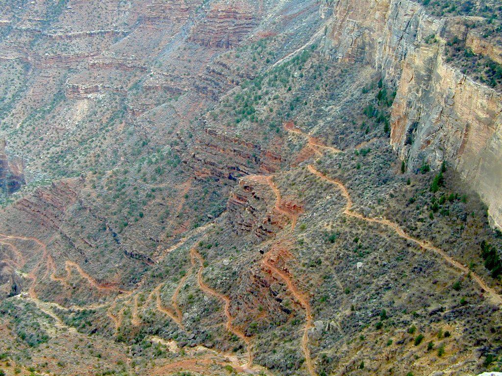
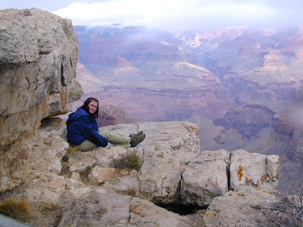
South Rim of Grand Cyn = Arizona
(7000′ elevation) pinyon forests


digital maps for download
- Arizona GMU 12A Hunting Map Bundle
- Arizona Strip Visitor Map
- Grand Canyon Overview Map – NPS (free)
- Grand Canyon Hiking Map – NPS (free)
- Grand Canyon River Rafting Maps
- Havasu Falls, AZ topo map (free)
- Kaibab National Forest – North Kaibab
- Map the Xperience – Grand Canyon
- Motor Vehicle Use Map, AZ, Kaibab NF (free)
- NatGeo Grand Canyon Map Pack
- NatGeo Map 261 – GCNP, North & South Rims
- NatGeo Map 262 – Grand Canyon East
- NatGeo Map 263 – Grand Canyon West
![]()


Arizona Camping Maps
Utah Maps & Utah Books