
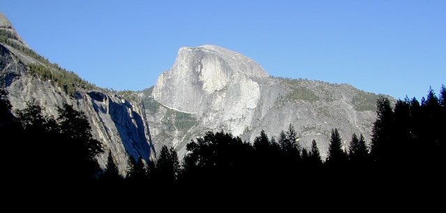
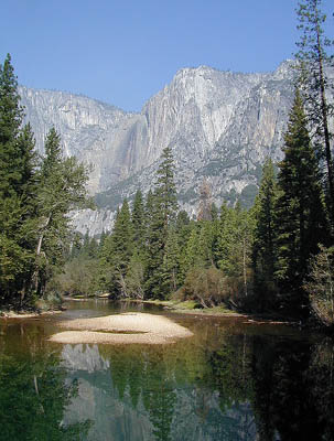
Yosemite Map California
Yosemite National Park Maps by
National Geographic: Trails Illustrated Maps


Overview Yosemite National Park Map #206
Central Sierra Nevada Mountains
2-sided, full color, waterproof maps
Yosemite is the most visited National Park in all of California, which is why NatGeo makes 5 maps for this region – so we can all spread out a little. Map bundles and a day hike guide is also available.


TOPOGRAPHIC HIKING MAPS
for Yosemite backcountry listed below:
NatGeo Map #307 Yosemite NW – Hetch Hetchy Reservoir


NatGeo Map #306 Yosemite SW – Wawona & Yosemite Valley

NatGeo Map #308 Yosemite NE – Toulumne Mdws & Hoover Wilderness

NatGeo Map #309 Yosemite SE – Ansel Adams Wilderness

![]()

NatGeo Yosemite Park Map Bundle – Yosemite Map Pack

NatGeo Yosemite Park Hiking Map – Yosemite Day Hikes


see also –