
Big Bear Mountains Map


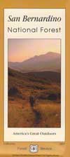
San Bernardino National Forest Map

Big Bear Lake, Fawnskin, San Jacinto, Idyllwild, Lake Arrowhead, Holcolm Creek, San Gorgonio

PLASTIC MAP PAPER; water & tear resistant. Ranger Map – NFS issued map. GPS: Longitude & Latitude; Rivers, Creeks, Peaks, Elevations, 4WD routes & every dirt BackRoad, Hot Springs, Equestrian Areas, all Big Bear & Idyllwild Campgrounds, Hiking Trails & BackPacking Trailheads.


2009 San Bernardino Map
Areas include: Southern California, San Gorgonio Wilderness, Big Bear Lake, Fawnskin, Rim of the World, Moonridge, Bear Mtn, Snow Summit, Lake Arrowhead, Green Valley Lake, Deep Creek, Holcomb Valley, Heart Bar, John Bull, Cleghorn, Cajon Pass, Silverwood Lake, Forest Falls, San Jacinto, Idyllwild, Lake Hemet, Marion Mtn., Thomas Mountain. Also available en espanol.
Map Size: 36″x 36″ overall / 4″x9″ folded; map paper. ISBN# 9781593514846
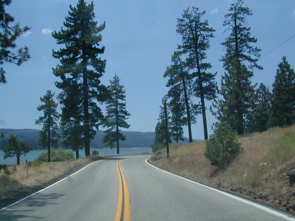
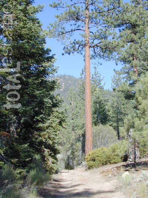
Southern California Forest / Big Bear Mountains:
San Bernardino National Forest


see also – San Berdoo Topo Atlas

previous versions of this map:

Wilderness Areas near San Berdoo Forest:
- Cucamonga Wilderness
- Bighorn Mountain Wilderness
- San Gorgonio Wilderness
- San Jacinto Wilderness
- Santa Rosa Mountains


nearby towns:
- BIG BEAR LAKE, CA
- BIG BEAR CITY, CA
- PIONEERTOWN
- FAWNSKIN
- ANGELES OAKS
- FOREST FALLS
- OAK GLEN, CA
- LAKE ARROWHEAD
- RUNNING SPRINGS
- CRESTLINE
- SKYFOREST
- GREEN VALLEY LAKE, CA
- ARROWBEAR
- RIVERSIDE, CA
- PALM DESERT, CA
- HEMET, CA
- PINE COVE, CA
- IDYLLWILD
San Bernardino, National Forest, Big Bear, Map, San Bernardino, Mountains, Trails, Map, Big Bear, Idyllwild, Big Bear Map, Topographical Maps, Topo Atlas, San Gorgonio, Backpacking Big Bear, Hiking, Hike Gorgonio, Mount San Gorgonio; Old Gray Back, Grayback, Greyback, Big Bear 4×4
- 1N02 – Heart Bar Coon Creek
- 2N93 – Wildhorse Meadows
- 3N14 – Fawnskin
- 3N97 – Ironwood
- Campgrounds – NFS
- Crab Flats Campground
- Deep Creek Hot Springs
- Green Valley Lake
- Heaps – Sequoia Grove
- Heartbar Campground
- Holcomb Valley
- GOOGLE MAP – Inland Empire
- San Gorgonio Wilderness
- San Jacinto Wilderness
- Yellow Post Campsites

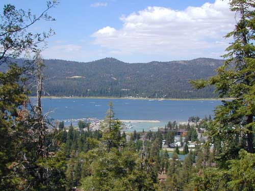
Big Bear Lake, Southern California