
Modoc National Forest Atlas
Topographic Modoc USDA
2024 CURRENTLY UNAVAILABLE


see also –
Modoc National Forest Map
Fishing Maps for California

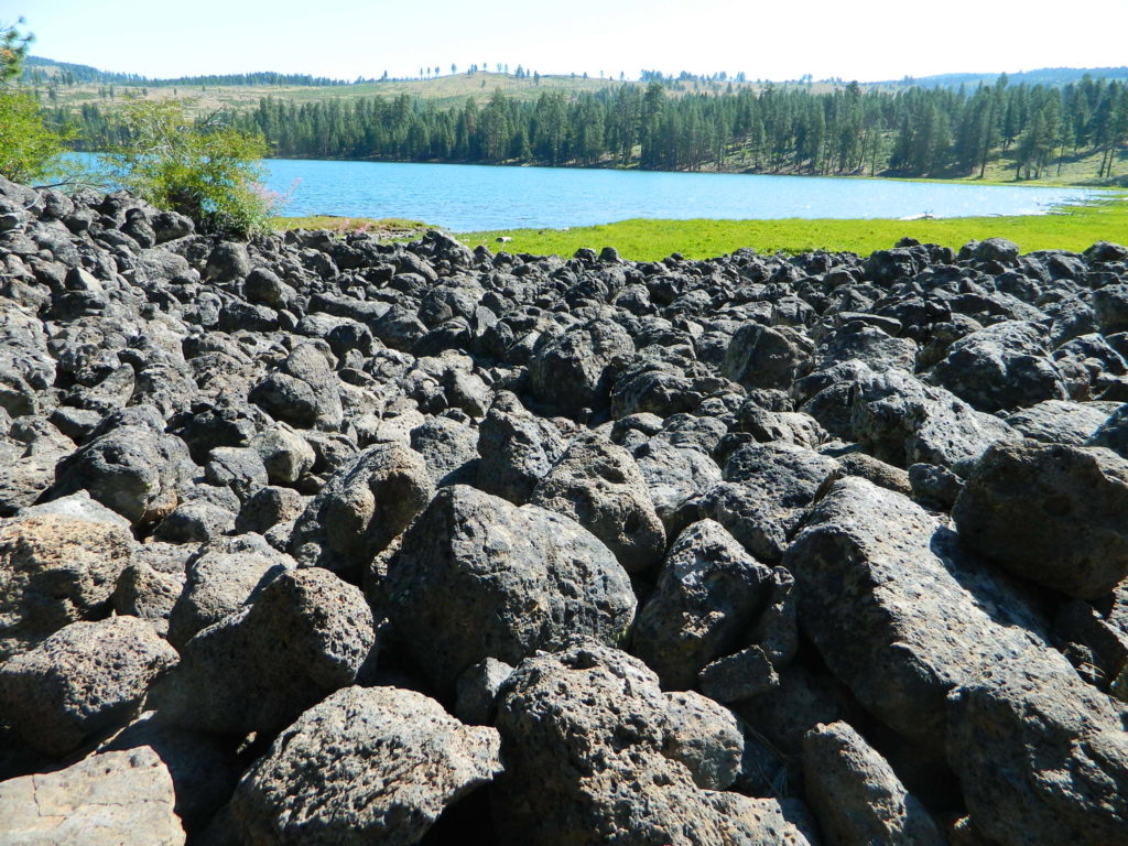
Blue Lake is a volcanic lake in Modoc, California
USDA Modoc National Forest Atlas QUADS:
-from south to north –
- Lower Klamath Lake

- Hatfield
- Newell
- Carr Butte
- Sagebrush Butte
- Steele Swamp
- Weed Valley
- Beaver Mountain
- Pease Flat
- West of Willow Ranch
- Willow Ranch
- Mount Bidwell
- Lake Annie

- Mount Dome
- Captain Jacks Stronghold
- The Panhandle
- Copic
- Double Head Mountain
- Pinnacle Lake
- Pothole Valley
- Hager Basin
- South Mountain
- McGinty Reservoir
- McGinty Point
- Sugar Hill
- Fort Bidwell

- Larkspur Hills
- Schonchin Butte
- Perez
- Rimrock Lake
- Lone Pine Butte
- Boles Meadows West
- Boles Meadows East
- Whittlemore Ridge
- Dead Horse Reservoir
- Lauer Reservoir
- Davis Creek
- Lake City

- Medicine Lake
- West of Kephart
- Kephart
- Spaulding Butte
- Knobcone Butte
- Ambrose
- Jacks Butte
- Big Sage Reservoir
- Mahogany Ridge
- Surprise
- Payne Peak
- Cedarville
- Border Mountain

- Hollenbeck
- Crank Mountain
- Happy Camp Mountain
- Washington Mountain
- Canby
- Rattlesnake Butte
- Alturas
- Dorris Reservoir
- Shields Creek
- Warren Peak
- Whitehorse
- Egg Lake
- Donica Mountain

- Halls Canyon
- Adin Pass
- Hermit Butte
- Graven Ridge
- Bayley
- Little Juniper Reservoir
- Soup Creek
- Eagle Peak
- Eagleville
- Lookout
- Big Swamp
- Adin
- Ambrose Valley
- Knox Mountain
- Likely
- Tile Mountain
- Jess Valley
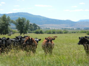
Jess Valley Cattle
- Emerson Peak
- Snake Lake
- Bieber
- Hog Valley
- Letterbox Hill
- Lane Reservoir
- Ash Valley
- Holbrook Canyon
- Madeline
- Cold Springs Mountain
- Boot Lake
- Little Hat Mountain
- Dixie Peak
- Silva Flat Reservoir
- Said Valley
- Whitinger Mountain


