

Six Rivers NF Map
6 Rivers, California
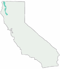

Six Rivers National Forest Map, NorCal Redwoods, Klamath River, Hoopa, Eel River, Ruth Reservoir, Mad River, South Fork Trinity


Six Rivers National Forest Map. Humboldt, Mad River, Smith River, Eureka, North Coastal Redwoods
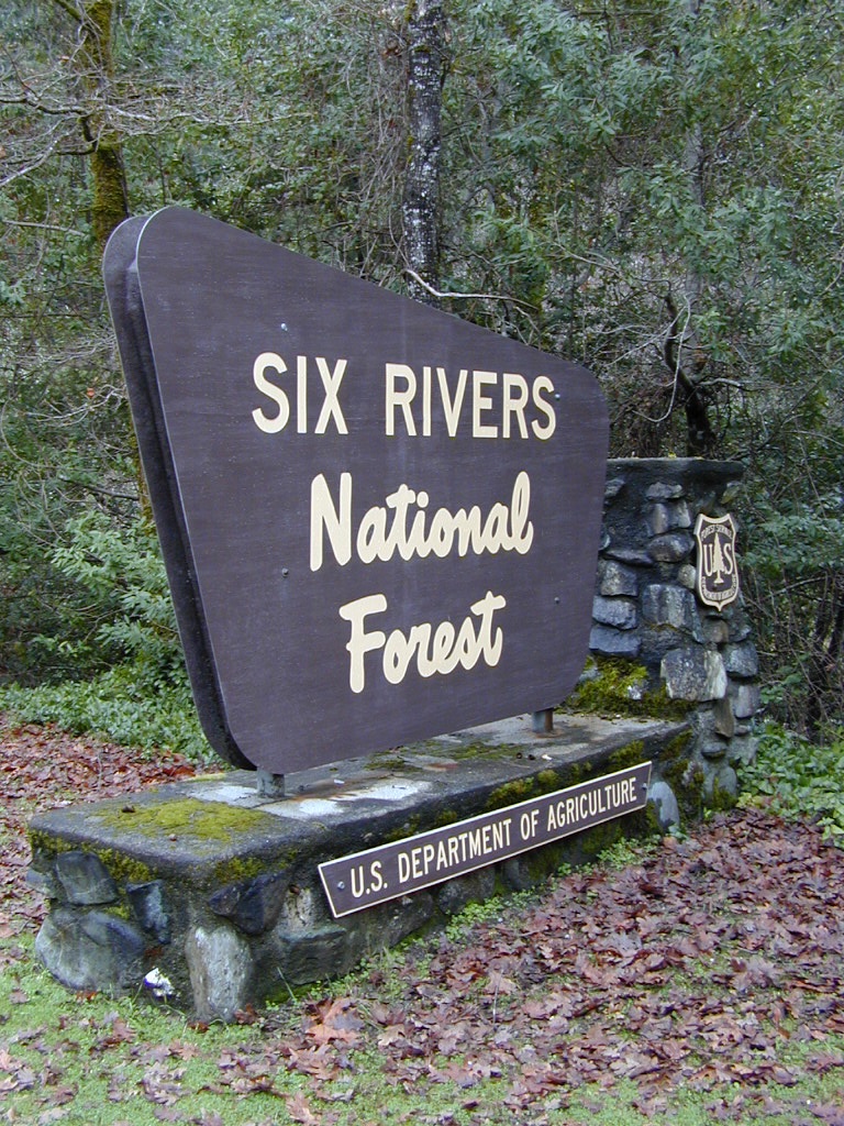
Six Rivers Forest


Areas include: Northern California, Siskiyou County, Humbolt County, Del Norte County, North Coastal Redwoods, Eureka, Bridgeville, Willow Creek, Orleans, McKinleyville, Lower Trinity, Trinity Alps, Mad River Ridge, Smith River, Siskiyou Wilderness, Lonesome Ridge, Somes Bar, Forest Glen, Big Flat, Oregon border. Map Size: 31″x 45″ overall 4″x9″ folded; Printed on paper in 2014. ISBN# (unknown)
SAD BUT TRUE: When DanaMite found that the ISBN number for this SixRivers National Forest map was the exact same number – already assigned and printed – on the South Warner Wilderness Map, I knew the gov had grown way too big.

nearby towns:

see also –
Trinity Alps Wilderness Map
Redwoods Map
Rogue River Map