


Shasta Trinity National Forest Map
Shasta Map: includes Trinity National Forest, Trinity River, Trinity Lake, Mount Shasta. Quality USDA maps created for the National Forest Service. NorCal’s finest alpine region. Trinity Alps & Mt. Shasta, Yolla Bolly Middle Eel Wilderness, Weaverville, Lewiston, Trinity Center, California WATERPROOF MAP SHASTA Ranger Map – NFS issued map. GPS: Longitude & Latitude; Rivers, Creeks, Peaks, Elevations, 4WD & every dirt back road. 


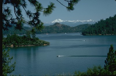
Shasta Lake, California


PREVIOUS VERSION

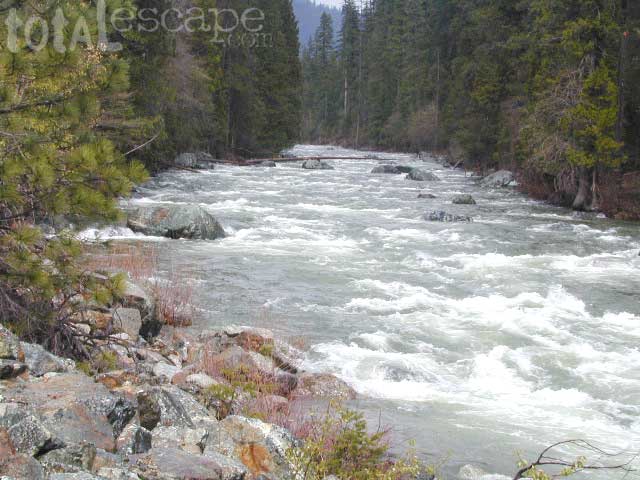
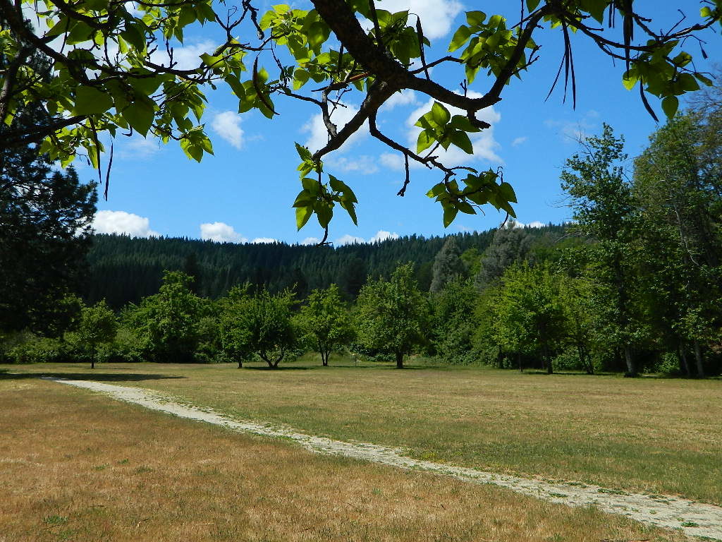
Trinity River, above Trinity Lake
see also –
Castle Crags & Shasta Map
Mount Shasta Wilderness Trail Map
Trinity Wilderness Map
Yolla Bolly Wilderness Map

OLD VERSION

REAL OLD EDITION
California Road Trips to Shasta and Shasta Camping:
Shasta- Trinity National Forest
- CASTELLA, CA
- DUNSMUIR, CA
- LAKEHEAD, CA
- LEWISTON, CA
- McCLOUD, CA
- MOUNT SHASTA, CA
- REDDING, CA
- SHASTA LAKE
- TRINITY LAKE
- WEAVERVILLE, CA
- WHISKEYTOWN LAKE

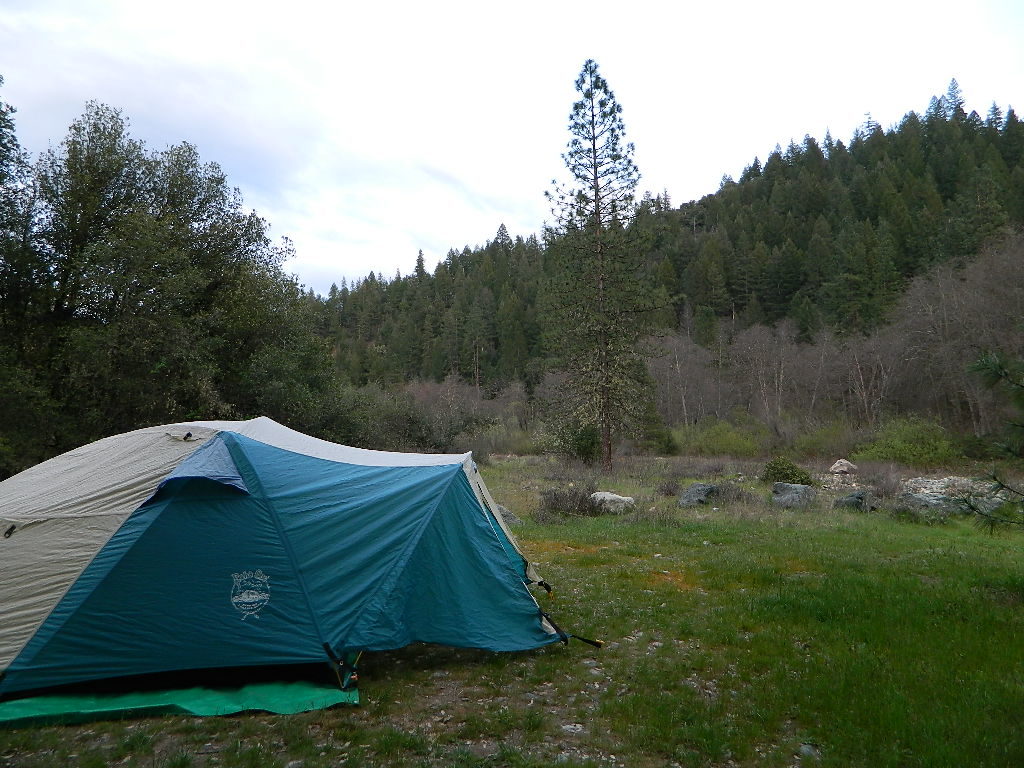
Free camping near Douglas City, Steiner Flat