


Find Shasta Maps:
- Castle Crags & Shasta Map
- Mount Shasta Wilderness Map
- Shasta Trinity National Forest Map
- Shasta Trinity Atlas
Books about Mount Shasta, Lake Shasta & Old Shasta, located in Northern California


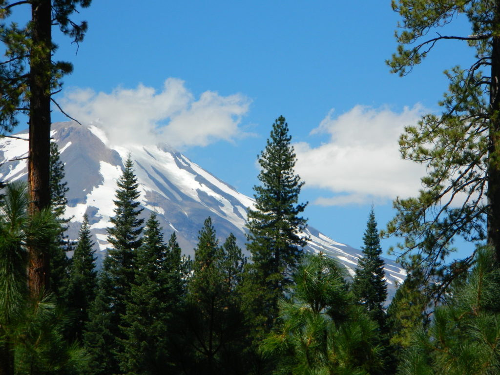
Mount Shasta is a potentially active volcano at the southern end of the Cascade Range in Siskiyou County, California. At an elevation of 14,179 feet, it is the second-highest peak in the Cascades and the fifth-highest in the state. Mount Shasta has an estimated volume of 85 cubic miles, which makes it the most voluminous stratovolcano in the Cascade Volcanic Arc. The mountain and surrounding area are part of the Shasta–Trinity National Forest.


The most popular route on Mount Shasta is Avalanche Gulch route, which begins at the Bunny Flat Trailhead and gains about 7,300′ of elevation in a round trip of approximately 11.5 miles. The crux of this route is considered to be to climb from Lake Helen, at approximately 10,443′ to the top of Red Banks. The Red Banks are the most technical portion of the climb, as they are usually full of snow and ice, are very steep, and top out at around 13,000′ before the route heads to Misery Hill.

Climbing Mount Shasta can be done in one day; however, it is often completed in two days. Climbers can ascend from Avalanche Gulch and camp at either Horse Camp @ 7,900′ elevation, or at Helen Lake @ 10,400′. Camping at a higher altitude also helps with acclimatization and often reduces risk of altitude sickness.

