Lassen Books

Lassen Peak, Lassen Volcanic National Park, Mount Lassen

Lassen Books

Lassen Books

Lassen Books

Lassen Books

Lassen Books

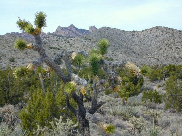
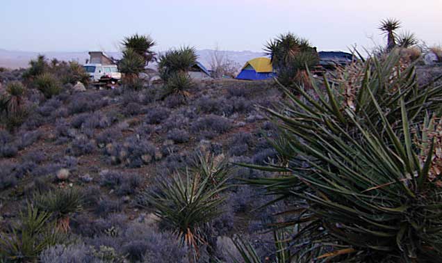
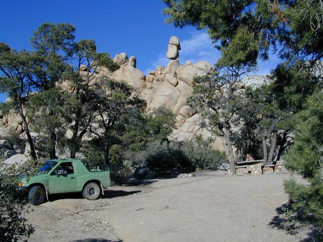
The Lassen Volcanic National Park is visited by more than 350,000 people every year. Incorporating more than 150 miles of hiking trails, it is visited by people looking to hike or backpack during the summers. Popular winter activities include snowshoeing and backcountry skiing. As the second-tallest volcano in Northern California, trailing only Mount Shasta, Lassen Peak is frequently visited by climbers and hikers from around the world. The summit opens for use most years near the end of June, remaining in use until snow falls in October or November.

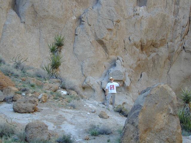
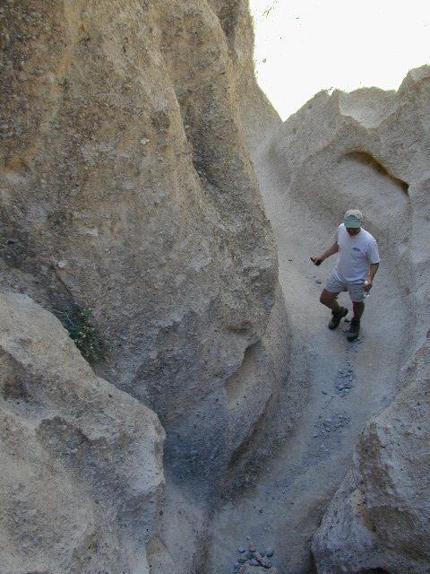
The mountain’s summit trail can be accessed from a parking lot on the northern side of the California State Route 89. The Lassen Peak Trail, which starts from this parking area, runs for 2 ½ miles with switchback turns, a round-trip hike 5 mi in length that ascends approximately 2,000 feet from the trailhead at 8,500 feet to the summit at 10,457 feet. From the northeast summit, Lassen’s 1915 mudflow and Prospect Peak are visible; the northwestern summit offers views of Lassen’s two bowl-shaped craters and Mount Shasta, 80 miles to the north. The southern entrance to the park area has a winter sports area where visitors can ski, snowshoe, and within the Lassen National Forest, visitors can also bicycle, go boating, or use snowmobiles.

see also –

Lassen National Forest Map 
Lassen Forest Atlas 
Lassen Park Map 
Ishi Wilderness Map 

PCT Map #5 N Sierra

USDA PCT Map 5
PCT Map #5 Northern Sierra Nevada Mountains

Lake Tahoe to Lassen

hikers mapPacific Crest Trail National Scenic Trail
PCT – Hiking Map 5

Sierra Nevada’s Barker Pass at Lake Tahoe northward to Lassen National Park. Donner Pass, Lakes Basin Recreation Area, La Porte, Feather River, Bucks Lake Wilderness, Lassen NP, Highway 89 Old Station, Subway Cave, Hat Creek. USDA, Large fold out map, durable waterproof paper w/ sturdy cardboard cover. ISBN# 9781593514839

USDA PCT Map 5

Faucherie Lake, N of Donner Pass

Lake Tahoe

Lake Tahoe is a large freshwater lake in the Sierra Nevada of the United States. Lying at 6,225 feet elevation above sea level, it straddles the state line between California and Nevada, west of Carson City. Lake Tahoe is the largest alpine lake in North America,  and it trails only the five Great Lakes as the largest by volume in the United States.

Its depth is 1,645 feet, making it the second deepest in the United States after Crater Lake in Oregon. The lake was formed about two million years ago as part of the Lake Tahoe Basin, and its modern extent was shaped during the ice ages. It is known for the clarity of its water and the panorama of surrounding mountains on all sides.

Lassen Peak

Mount Lassen, is the southernmost active volcano in the Cascade Range of the Western United States. Located in the Shasta Cascade region of Northern California, it is part of the Cascade Volcanic Arc, which stretches from southwestern British Columbia to northern California. Lassen Peak reaches an elevation of 10,457 feet, standing above the northern Sacramento Valley. It supports many flora and fauna among its diverse habitats, which are subject to frequent snowfall and reach high elevations.

Lassen Peak is the largest lava dome on Earth. The volcano arose from the former northern flank of now-eroded Mount Tehama about 27,000 years ago, from a series of eruptions over the course of a few years. The mountain has been significantly eroded by glaciers over the last 25,000 years, and is now covered in talus deposits.

camp map

see also –
Lake Tahoe Maps
Tahoe National Forest Map
Lakes Basin Recreation Map
Plumas National Forest Map
Bucks Lake Wilderness Map
Lassen National Forest Map

USDA PCT Map 5

Lassen Peak Lupine Hikes

USDA PCT Map 5

Lil Gold Lake @ Bucks Lake Wilderness

Mono Lake Map

Mono Lake Map

Tufa Towers at Navy Beach, Mono Lake


Mono Lake Topo Map
Mono Lake Topo Map

Mono Lake, Lee Vining & Lundy Canyon

Mono Lake is one of the most popular destinations in the Eastern Sierra region. Tom Harrison is the only topographic map that has all of Mono Lake on one sheet.

Eastern Sierra Lee Vining Trail Map, Lee Vining Canyon South; Areas covered: Lee Vining Hiking, South Tufa Mono Lake, County Park Old Marina, Lundy Canyon, Lundy Topo, Panum Crater.

Durable, waterproof plastic map; Folded. Map Scale: 63K; ISBN# 9781877689789

Mono Lake California 

avenza mapsdownload digital version of this map –
Mono Lake Topo Map

Mono Lake Map

Mono Lake is a saline soda lake in Mono County, California, formed at least 760,000 years ago as a terminal lake in an endorheic basin. The lack of an outlet causes high levels of salts to accumulate in the lake and make its water alkaline.

The high desert lake has an unusually productive ecosystem based on brine shrimp, which thrive in its waters, and provides critical habitat for two million annual migratory birds that feed on the shrimp and alkali flies.

When the city of Los Angeles diverted water from the freshwater streams flowing into the lake, it lowered the lake level, which imperiled the migratory birds. The Mono Lake Committee formed in response and won a legal battle that forced Los Angeles to partially replenish the lake level.

Dissolved salts in the runoff thus remain in the lake and raise the water’s pH levels and salt concentration. The tributaries of Mono Lake include Lee Vining Creek, Rush Creek and Mill Creek which flows through Lundy Canyon.

The basin was formed by geological forces over the last five million years: basin and range crustal stretching and associated volcanism and faulting at the base of the Sierra Nevada.

nearby destinations:

Mono Lake Map

see also –
Ansel Adams Wilderness Map
Bodie Hills Map
Mammoth Lakes Map NatGeo
Toiyabe National Forest Map USDA
Yosemite Highcountry Map

Mono Lake Map


Lundy Canyon
Lundy Lake California

Mojave National Preserve Map

Mojave National Preserve Map

Joshua Trees in Mojave NP

Mojave Map
by Tom Harrison Maps

Mojave National Preserve MapTom Harrison Mojave Desert Recreation Map: Mojave National Preserve Essex California, Mojave Desert Trails; Cima Dome, Mojave Road, Hole in the Wall, Mid Hills, Mid-hills, Providence Mountains, New York Mountains, Kelso Dunes, Kelso Depot, Kelso Road Map Mojave. Durable, waterproof plastic map; Folded. Map Scale: 250K; ISBN# 9781877689369

avenza maps

download digital version of this map –

Tom Harrison Map – Mojave National Preserve

Mojave National Preserve Map

Providence Mountains SRA

Mojave National Preserve Map

Mojave National Preserve Map

OLDER VERSION

Mojave National Preserve Map

REAL OLD MAP

New York Mountains

Free Camp @ New York Mountains

see more maps in the Mojave –

Trails Illustrated Mojave Map
from National Geographic
Jawbone Canyon Map
Death Valley National Park Maps
Lake Mead NRA Map
Red Rock Canyon Map – Las Vegas, NV

Hiking Desert Canyons

avenzabar

download digital maps of Mojave desert

CTUC Amboy OHV Map
CTUC Mojave Desert OHV Map
CTUC Needles CA OHV Map
CTUC Panamint Valley OHV Map
CTUC San Berdu & Barstow BLM Map

BLM Topo Map – AZ Lake Havasu Guide (free)
BLM Topo Map – AZ Havasu Palms, Sara Park (free)
NPS Map Brochure – Death Valley (free)
NPS Map Brochure – Lake Mead NRA (free)
NPS Map Brochure – Mojave NP (free)
USGS Topo Map – KINGMAN, AZ (free)

Ring Trail

Hiking the Ring Trail @ Hole in The Wall

 Metal Rings for Climbing

Metal Rings for Climbing

climbing