Canyonlands Map

Canyonlands National Park: Utah Maps

Canyonlands Map

This scenic National Park is so large there are several maps covering this mini-Grand-Canyon-looking desert destination. White Rim Trail is a popular mountain bike route and primitive camping area, but it is extremely rugged and requires a 4 wheel drive vehicle.

Canyonlands Map

Canyonlands Map
Canyonlands Maps by NatGeo

The park preserves a colorful landscape eroded into numerous canyons, mesas, and buttes by the Colorado River, the Green River, and their respective tributaries. This National Park is divided into four districts: the Island in the Sky, the Needles, the Maze, and the combined rivers—the Green and Colorado—which carved two large canyons into the Colorado Plateau. While these areas share a primitive desert atmosphere, each retains its own character.

Canyonlands Map

Canyonlands Map

Canyonlands Map


Canyonlands Map

Schaffer Trail, a most scenic drive that leads back to Moab.

see also – camp maps

Arches National Park Map
Utah Maps
Moab Utah

Arches National Park Map

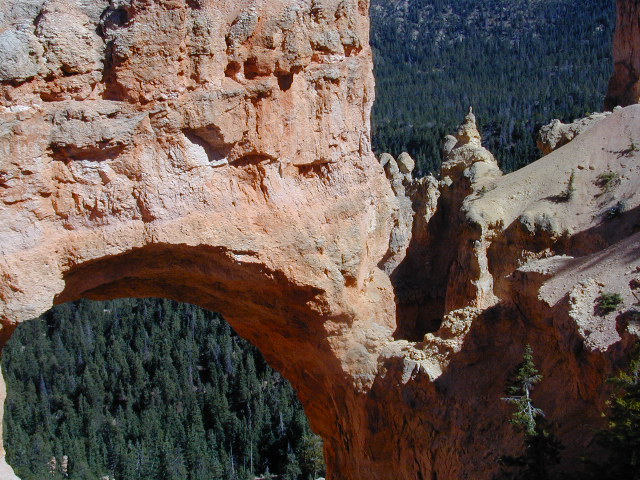
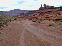
Moab Utah Maps: Arches National Park

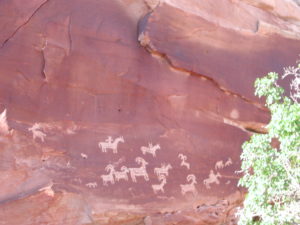
Arches National Park Map – a full color, two sided topographic map from Trails Illustrated, National Geographic. Natural arches of all shapes and sizes, in famous red rock country, Indian Rock Art Petroglyphs. Hiking trails, picnic areas and campgrounds are featured on this map, as well as all paved roads and dirt roads.

Summer is not the time to visit this terrain, due to excess heat during June, July and August.

Delicate Arch

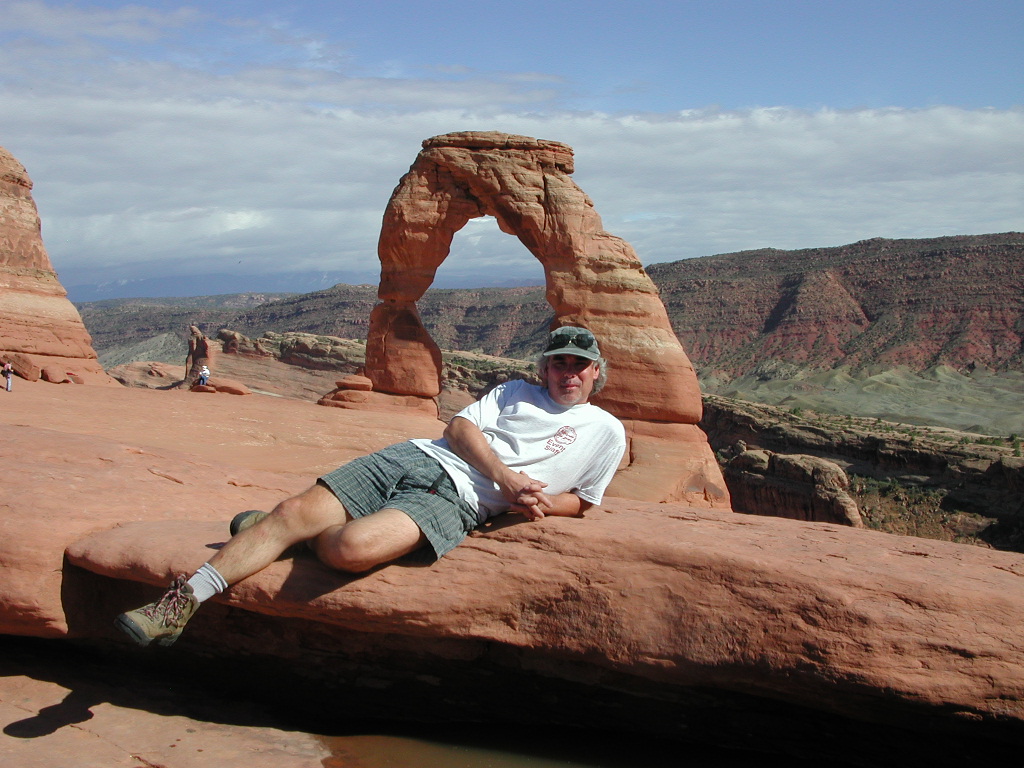
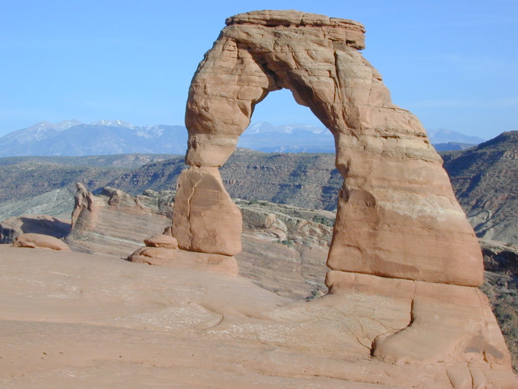
Delicate Arch, the most popular hiking trail.

Although the National Park’s terrain may appear rugged and durable, it is extremely fragile. More than one million visitors each year threaten the fragile high-desert ecosystem. The problem lies within the soil’s crust, which is composed of cyanobacteria, algae, fungi, and lichens that grow in the dusty parts of the park. Factors that make Arches National Park sensitive to visitor damage include being a semiarid region, the scarce, unpredictable rainfall, lack of deep freezing, and lack of plant litter, which results in soils that have both a low resistance to, and slow recovery from, compressional forces such as foot traffic.

Arches National Park Map

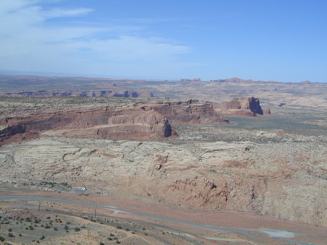
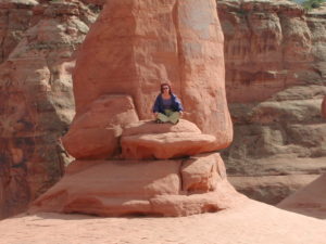
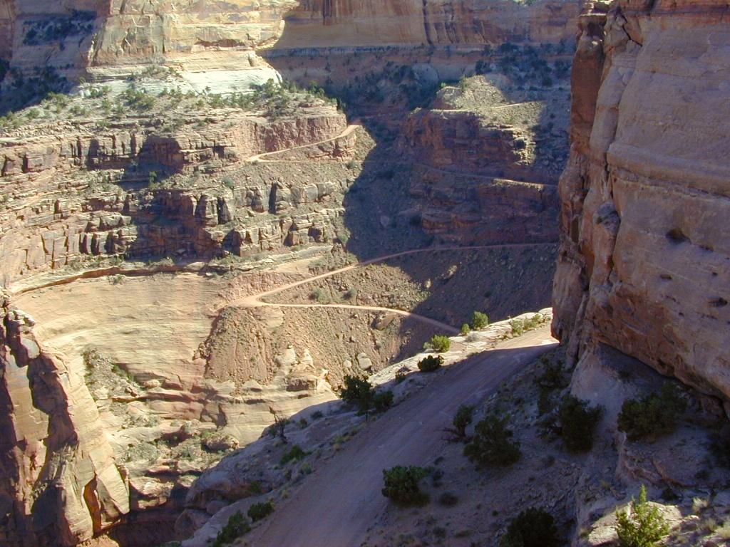
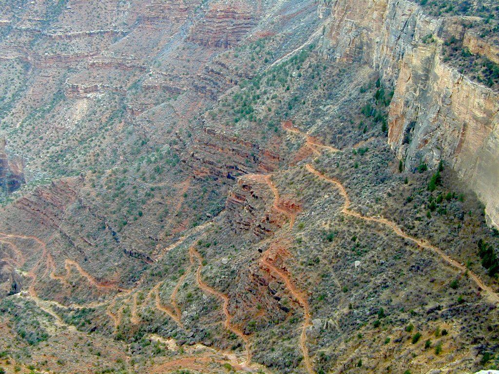
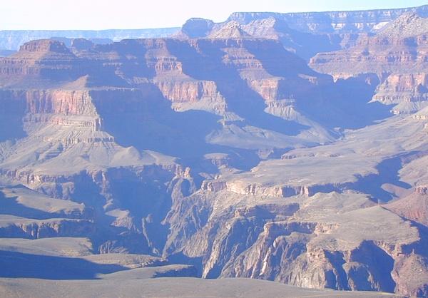
Above Arches National Park

Climbing Balanced Rock or any named or unnamed arch in Arches National Park with an opening larger than 3 feet is banned by park regulations. Climbing on other features in the park is allowed, but regulated; in addition, slack-lining and base jumping are banned park wide.

Climbing on named arches within the park had long been banned by park regulations, but following a successful free climb on Delicate Arch in May 2006, the wording of the regulations was deemed unenforceable by the park attorney. In response, the park revised its regulations later that month, eventually imposing the current ban on arch climbing in 2014.

Approved recreational activities include auto touring, hiking, bicycling, camping at the Devils Garden campground, backpacking, canyoneering, and rock climbing, with permits required for the last three activities. Astronomy is also popular in the park due to its dark skies, despite the increasing light pollution from towns such as Moab

Arches National Park Map

Arches National Park Map

Arches National Park Map

see also –

Canyonlands National Park Map
Utah Maps


Grand Canyon National Park Map

Grand Canyon Maps

Grand Canyon Maps


Grand Canyon Maps

The Colorado River carves out the Grand Canyon, the largest National Park in the nation. 2019 marked the park’s 100th birthday!NPS

Grand Canyon Maps

The large river flows south from the Rocky Mountains of Colorado, down through the red rock deserts of the Southwestern US; separating Arizona from California, down to Baja California and the Sea of Cortez

North Rim of Grand Cyn = Utah
(8000′ elevation) conifer forests

South Rim of Grand Cyn = Arizona
(7000′ elevation) pinyon forests

Grand Canyon Maps

digital maps for download

driftwood


Grand Canyon Maps

Arizona Camping Maps

Utah Maps & Utah Books

Grand Canyon Maps

Bryce Canyon Map

Bryce Canyon Map

Summer monsoons thunderstorms are common between July and September.

Bryce Canyon National Park Map

Bryce Canyon MapBryce Cyn NP

Super scenic red topped highways of Utah pass through this spectacular park. A high elevation (8000′ elev) forest w/ farmlands and small towns below.

Most visitors see this National Park in route to another, because they are just driving through (and not wanting to hike much). Lots of viewpoints and parking lots, picnic tables and steep switchback hiking trails.

UTAH Bryce Maps

camp maps
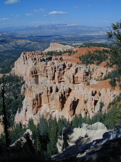
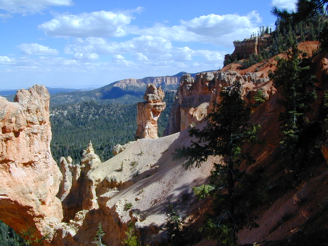
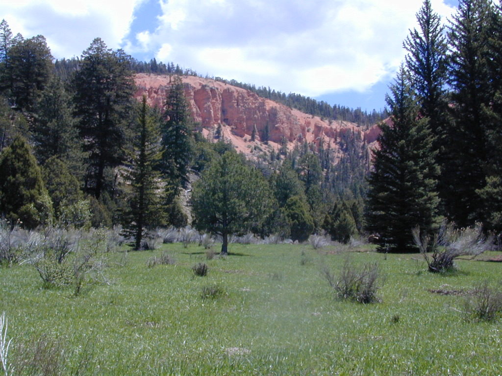
Camping here requires advanced reservations w/ the National Park Service – and a few more blankets. Chilly temperatures and tall pines on this popular mountain rim.

Bryce Canyon National Park

This park is open 24 hours per day throughout the year.

Snow closes park roads – there may be temporary road closures when winter snow storms hit. Roads will stay closed until plowing is completed and conditions are safe for visitor traffic. Road maintenance may require brief closures of individual areas at other times. Landslides close hiking trails and dirt back roads nearby.

In addition, the gorgeous Visitors Center is well worth a stop. Many posters, books and maps for sale, as well  as the typical tourist sweatshirts.

HIGH ELEVATION, Utah:

This National Park is a lot higher in altitude that most of the other National Parks in southern Utah. Many folks forget this fact and forget to bring their jackets. You’ll want to bring a decent winter coat for overnight visits, cuz low temperatures often dip into the 30’s even in summer months.

Bryce National Park Map

Natural Arch in Bryce Canyon UT

4x4 maps

Proctor Canyon (Route 109) is an awesome back road that leads to Tropic Reservoir, situated on the west side of Bryce National Park. The easy-to-miss, dirt road turn off is located on the main Highway (89) in between rural residential properties. Although, the neighboring farmers and ranchers do not like us popularizing this route (since 2002). This is a nice option for off roaders, when traveling from Zion to Bryce. 4WD may be needed, as it is a long and shady dirt road route.

proctor cyn mdws

Proctor Canyon (the back way to Bryce) a long dirt road, what else? Click to see our adventure w/ a fallen tree!

camp mapWe also must mention that the east side of Bryce, at a much lower elevation, is pinyon pine forests and badlands managed by the BLM. This remote area is perfect for mountain biking, free primitive camping and finding slot canyons to hike. Boondocking heaven!