Sequoia Kings Recreation Map

Sequoia Kings Recreation Map
Sequoia & Kings Canyon National Parks
Tom Harrison Maps

Sequoia Kings Recreation Map

Sequoia Recreation Map Backpacking Trails. Includes both Sequoia & Kings Canyon National Parks, CA Recreation Map. Areas include: Lodgepole Campground, Mineral King Canyon, Giant Forests, Grant Grove Sequoia, Ash Mountain, Silver City California, Crystal Cave Sequoia, Mount Whitney. Durable, waterproof plastic map; Folded. Map Scale: 125K; ISBN# 9781877689499

avenza mapsdownload digital version of this map –
Sequoia & Kings Canyon NP Map
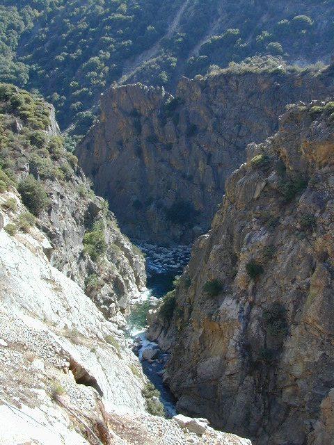
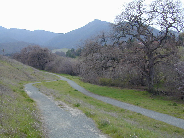
Sequoia Kings Recreation Map

Kings River Gorge

Sequoia Kings Recreation Map

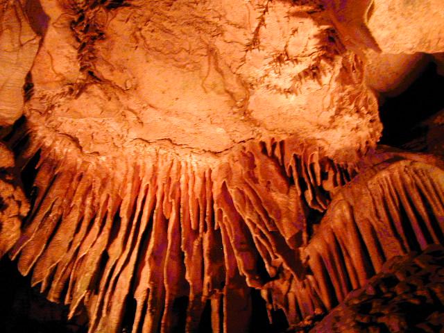
Crystal Cave, Sequoia NP

see also –

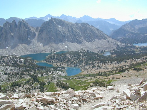
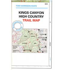
Kings Canyon Highcountry
Mineral King Canyon Map
Sequoia Kings NP NatGeo Map
Sequoia NF Map USDA

National Parks

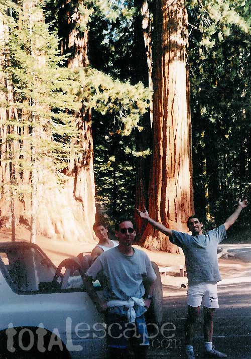
Two National Parks, side by side

Kings Canyon High Country Map

Kings Canyon Topo Map

Kings Canyon Wilderness Map

Tom Harrison Trail Map: Kings Canyon High Country Trail Map. Areas include: Rae Lakes, Paradise Valley, Cedar Grove, Kearsarge Pass, LeConte Canyon, Crown Valley, Tehipite Valley, Blackcap Basin; John Muir PCT Wilderness Map, Pacific Crest Trail, US Hwy 395 Eastern Sierra Nevada; Backpacking High Sierra, Hiking Backpacking Kings Canyon National Park.

Durable, waterproof plastic map; Folded. Map Scale: 63K; ISBN# 9781877689451

Kings Canyon Wilderness Map

Granite peaks around Kearsarge Pass are simply awesome

Kings Canyon Wilderness Trail Maps

Kings Canyon Wilderness Map

avenza mapsdownload digital version of this map –
Kings Canyon High Country Map

fishing map

Kings Canyon Wilderness Map

OLD EDITION

Kings Canyon National Park NPS

Kings Canyon Wilderness Map

see also –
Kearsarge Pass Trail Map
Sequoia Kings NP Map by NatGeo
Sequoia Kings Map by Tom Harrison
JMT – John Muir Wilderness Maps
Mineral King Topo Map

nearby destinations –Kings Canyon Wilderness Map

"<yoastmark

San Francisco Trail Maps

SF Hiking Guides & Trail Maps

hiking trail maps

Marin County – real open space

hikerWelcome to Total Escape’s San Francisco Trail Map overview. The San Francisco Bay Area is one of the most populated areas of the Golden State, although it does offer some of the best “city hiking” anywhere around. Located next to the coast, this area has beaches, cliffs, waterfalls, redwood groves and numerous local mountains.

Several brands of hiking maps exist for the San Francisco Bay Area. National Geographic, Tom Harrison, Wilderness Press.

San Francisco Trail Maps:

mount diablo hike

hike mapcamp mapsbiking maps


San Francisco Trail Mapshorseback maps

Maps and Guide Books for hiking, trail running, horseback and mountain bike trails, plus areas for picnicking, local camping spots and the very best view points in all the Bay Area of California. Parklands include – Redwood Forests, Open Spaces, Beach Cliffs, State Parks, National Parks, Wildlife Refuges, and Preserves. From the Point Reyes Lighthouse to the peak of Mount Diablo, we have it covered right here.

Wilderness Press Maps:

2022 unfortunately now all 3 of these recreation maps below are currently out of print and not easy to find online.

Pt Reyes National Seashore Map

Central San Francisco Peninsula Trails

San Francisco Peninsula Parklands

hiking maps

Tule Elk Preserve on the far north end of the Point Reyes peninsula

San Francisco hiking trail maps

Mt Diablo Hiking Trails, East Bay San Francisco, California

see also –

SF Area Maps
Big Sur Maps

Snow Mountain Wilderness Map

Snow Trails Northern Cal

Snow Mountain Wilderness Map USDA

California Snow Mountainhikers map


Snow Mountain Wilderness, Mendo

Wildfire recently burnt 100% of the land on Snow Mountain
Mendo Complex / Ranch Fire 2018

Wildflowers should be very decent in the aftermath of the fire. Snow Mountain of Mendocino National Forest, the east side. Perfect for a day hike reference or extended backpacking adventures. Meadows are called GLADES, in the Mendocino Forest region. OHV trails surround the lower elevation, eastern part of this mountain. Big thunderstorms are possible in summer! Waterproof plastic map, tear resistant, printed in 2004. Map Scale = 1:126,720. ISBN# 9781593514259

youtube200

Snow Splitboarding Videos
by Dustin Boone

nearby towns:

see also –
Mendocino National Forest Map USDA
Yolla Bolly Wilderness Map

Snow Mountain Wilderness