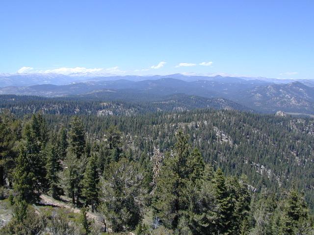
Golden Trout Wilderness Trail Map

Golden Trout Trail Map

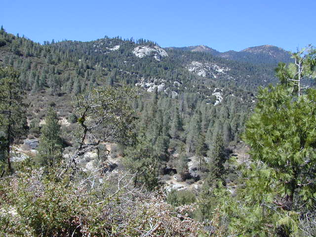
Golden Trout Wilderness is located above the Upper Kern River Gorge, in between the Sequoia National Forest and the Eastern Sierra peaks, on the Inyo National Forest. The northern most trailheads can be accessed through Mountain Home State Forest and also Mineral King Canyon inside Sequoia National Park

Southern trailheads are located at:

driftwood

Golden Trout Trail Map
Tom Harrison Maps
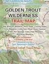
Golden Trout Trail Map

OLD VERSION

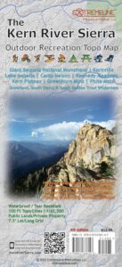
Golden Trout Wilderness Trail Map, Sequoia National Forest, South Sierra Backpacking Maps, Forks of the Kern River Map, Jerky Meadow Trailhead, Big Whitney Meadow, Kern Peak, Coyote Peaks, Grey Meadow, Little Kern River, Kern Canyon, Jordan Hot Springs, Casa Vieja Meadow, Monache Meadows. Topo Sequoia Camping Kern River; Durable, waterproof plastic map; Folded. Map Scale: 63.4K; ISBN# 9781877689765

digital mapsdownload digital version of this map
Golden Trout Wilderness Map

Golden Trout Trail Map

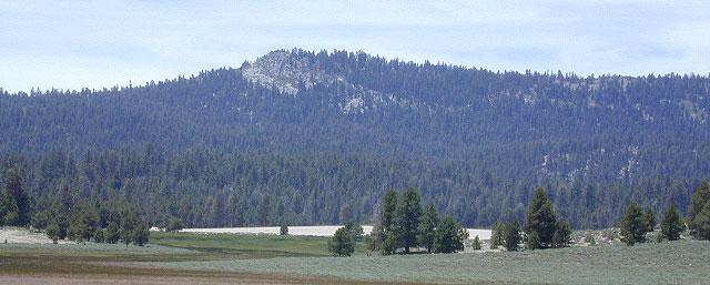
Bake Oven Dunes, near Monache Meadows

Kern Hot Springs. Golden Trout Kern River, Golden Wilderness Trail Map, Sequoia, South Sierra Backpacking Maps, Forks of the Kern River Map, Jerky Meadow Trailhead, Big Whitney Meadow, Kern Peak, Coyote Peaks, Grey Meadow, Little Kern River, Kern Canyon, Jordan Hot Springs, Casa Vieja Meadow, and Monache Meadows: which is wonderful camping, hiking and fishing the South fork of the Kern River. 4×4 recommended to access Monache!

Golden Trout Trail Map

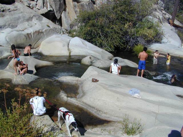
Granite Pools, moderate hiking distance from Camp 4 on Rd# 22S82

Forks of the Kern

Lloyds Meadow Road is a paved access road – N of Johnsondale, approximately 30+ miles north of Kernville, CA. Sequoia Forest Road #22S82 is also called Jerky Meadows Road and Lloyds Meadow Road; leads north paralleling the Kern River Gorge. This canyon area lies east of and below Dome Rock and Needles, located on the Western Divide Hwy. One developed NFS campground, Lower Peppermint Campground, is situated along Forest Route 22S82. (open seasonally June-November)

There are also dispersed camping areas located on the opposite side of the street, Camp#2, Camp#3, Camp#3, Camp#4, a few of which are RV accessible. Others may require a high clearance vehicle or 4WD to access the most secluded camps. Horse camping is popular along this route as well.hikers map

The paved access road 22S82 dead-ends at the Jerky Meadow trailhead and parking lot. Horse packing, fishing trails and backpacking.

recent wildfires in this area:

Windy Fire 2021
Castle Fire / SQF Complex 2020
McNally Fire 2002
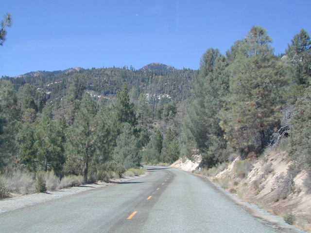
Jerky Meadows Rd

Jerky Meadows Rd is NF Route #22S82

horse trail maps

Golden Trout Topo Map

Golden Trout Kern River access on NF Rd #22S82

fishing map Golden Trout Trails

Kern River Map

San Bernardino Topo Atlas

San Bernardino
National Forest Atlas USDA San Bernardino Forest Atlas

Big Bear / Lake Arrowhead / Idyllwild
San Bernardino Mountains
Big Bear Atlas Topo

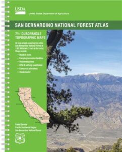
SAN BERNARDINO atlas, is a spiral bound book – a collection of all the quads. (7½ minute topographical maps, of all of San Berdu National Forest) This book map has detailed topo lines, mountain peaks, streams, lakes, hiking trails & back roads. Perfect for all kinds of recreational needs. Southern California, mountain recreation. Printed in 2018 USDA. ISBN# 9781628114300

Forest Falls, CA

Forest Falls LA

Forest Falls – waterfall near L.A.

San Bernardino National Forest QUADS:
from south to north

San Bernardino, Mountains, Trails, Map, Big Bear, Idyllwild, Big Bear Map, Topographical Maps, Topo Atlas, San Gorgonio, Backpacking Big Bear, Hiking, Hike Gorgonio, Mount San Gorgonio; Old Gray Back, Grayback, Greyback, Big Bear 4×4 Trail

San Bernardino Forest Atlas

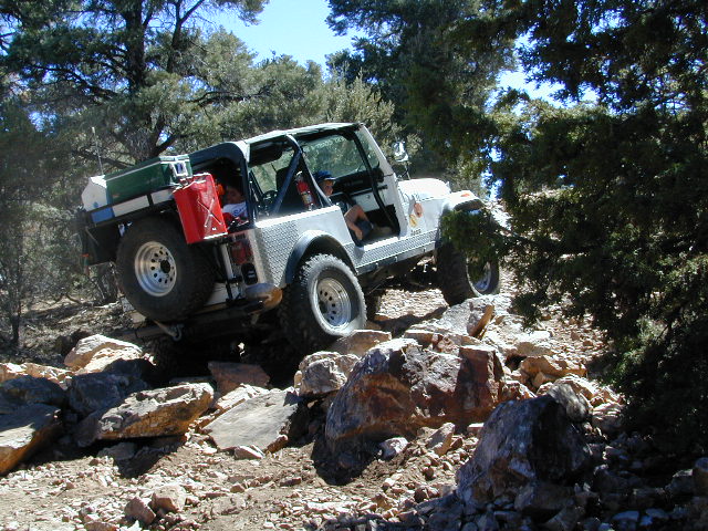
Rock Garden on Gold Mountain Trail, Big Bear, CA


San Bernardino Forest Atlas

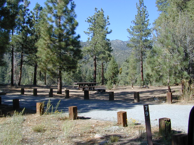
HeartBar Campground, near Mount San Gorgonio

see also –

San Bernardino NF Map
San Jacinto Map
San Gorgonio Map
Big Bear Maps
PCT Map Angeles
Angeles Maps

San Bernardino Forest Atlas

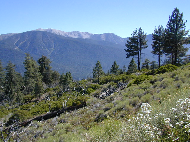
San Gorgonio views, from Forest Road #2N93

San Jacinto Wilderness Trail Map

San Jacinto Trail Map
Mt San Jacinto Map
Tom Harrison

Tahquitz Peak / Idyllwild Mountains / Palm Springs

Mount San Jacinto Map. Southern California

Tahquitz Peak Climb, Tom Harrison Trail Map: San Jacinto Wilderness CA; Mount San Jacinto State Park Idyllwild Camping Backpacking; San Jacinto Peak, Palm Springs Hiking. Durable, waterproof plastic map; Folded. Map Scale: 42K; ISBN# 9781877689437

San Jacinto Peak, also known as Mount San Jacinto, is a 10,834 foot mountain peak in the San Jacinto Mountains, in Riverside County, California. Lying within Mount San Jacinto State Park it is the highest both in the range and the county, and serves as the southern border of the San Gorgonio Pass.

San Jacinto Map

OLD VERSION

To the east the peak towers over the city of Palm Springs (elevation 479′); to the west, it borders the mountain community of Idyllwild (elevation 5,413′). The steep escarpment of its north face, above Snow Creek, climbs over 10,000′ in 7 miles. This is one of the largest gains in elevation over such a small horizontal distance in the contiguous United States.

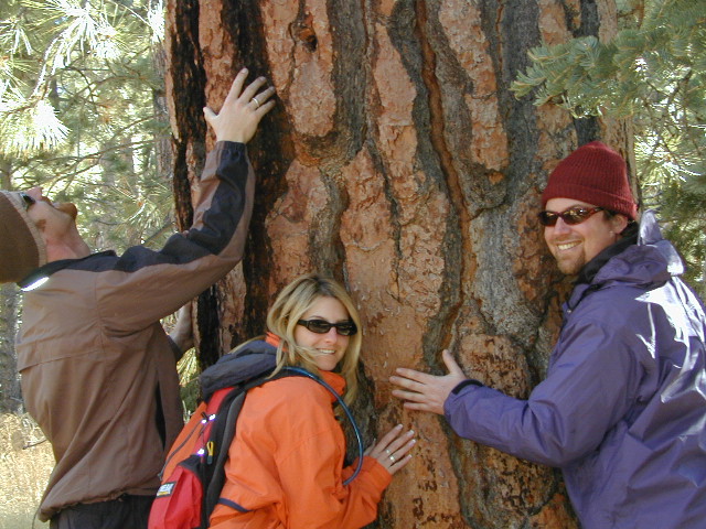
tree huggers

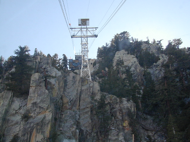
Tram Ride to the Top

Tram Ride to the Top

Take the Tram

San Jacinto Peak is easily accessible, as many trails penetrate the Santa Rosa and San Jacinto Mountains National Monument. One popular route starts with a ride on the Palm Springs Aerial Tramway from Valley Station at 2,643′ feet near Palm Springs up to Mountain Station at 8,516′. From there, one can easily climb the mountain face via trails.

Another route is to hike the Marion Mountain Trail near the mountain town of Idyllwild, off Highway 243. The Cactus to Clouds Trail involves an arduous climb of approximately 10,700′ feet from the desert floor in Palm Springs to the summit. This trail has no water sources until 8,500′, so early starts are advised to avoid the temperatures which often soar above 100°F.

San Jacinto Mountains National Monument
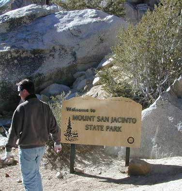
San Jacinto State Park
San Jacinto Wilderness

SanJacinto SP

see also –

San Bernardino National Forest Map 
San Bernardino Forest Atlas
San Gorgonio Wilderness Trail Map

San Francisco Trail Maps

SF Hiking Guides & Trail Maps

hiking trail maps

Marin County – real open space

hikerWelcome to Total Escape’s San Francisco Trail Map overview. The San Francisco Bay Area is one of the most populated areas of the Golden State, although it does offer some of the best “city hiking” anywhere around. Located next to the coast, this area has beaches, cliffs, waterfalls, redwood groves and numerous local mountains.

Several brands of hiking maps exist for the San Francisco Bay Area. National Geographic, Tom Harrison, Wilderness Press.

San Francisco Trail Maps:

mount diablo hike

hike mapcamp mapsbiking maps


San Francisco Trail Mapshorseback maps

Maps and Guide Books for hiking, trail running, horseback and mountain bike trails, plus areas for picnicking, local camping spots and the very best view points in all the Bay Area of California. Parklands include – Redwood Forests, Open Spaces, Beach Cliffs, State Parks, National Parks, Wildlife Refuges, and Preserves. From the Point Reyes Lighthouse to the peak of Mount Diablo, we have it covered right here.

Wilderness Press Maps:

2022 unfortunately now all 3 of these recreation maps below are currently out of print and not easy to find online.

Pt Reyes National Seashore Map

Central San Francisco Peninsula Trails

San Francisco Peninsula Parklands

hiking maps

Tule Elk Preserve on the far north end of the Point Reyes peninsula

San Francisco hiking trail maps

Mt Diablo Hiking Trails, East Bay San Francisco, California

see also –

SF Area Maps
Big Sur Maps