Mt Tam Topo Map
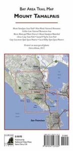
Mount Tam Trail Map
Mount Tamalpais Trail Map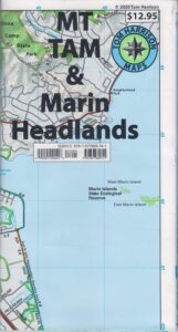
by Tom Harrison
Tom Harrison Trail Maps: Mount Tamalpais Trail Map, Mount Tamalpais State Park Map; Marin County Open Space, Marin Municipal Water District, San Francisco Hiking Maps, San Francisco Hikes, Backpacking Point Reyes. Camping Point Reyes Redwoods. Mount Tam Hiking, Golden Gate National Recreation Area.
Durable, waterproof plastic map; Folded. Map Scale: 24K; ISBN# 9781877689741
-
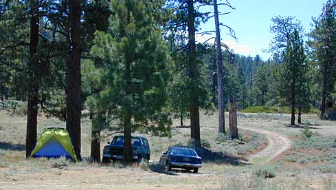
- backpack

- camp
- hike
- mountain bike
- picnic
- backpack
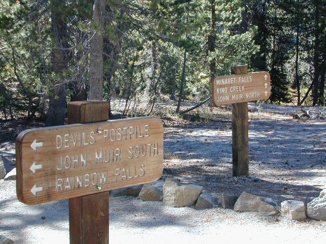
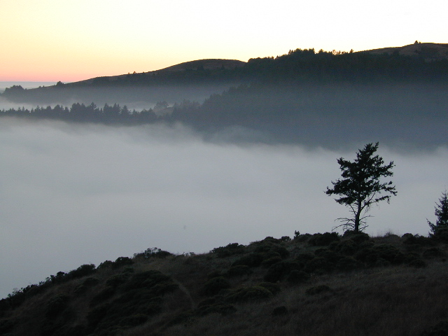
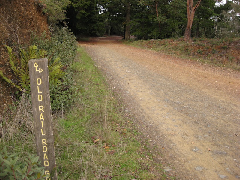
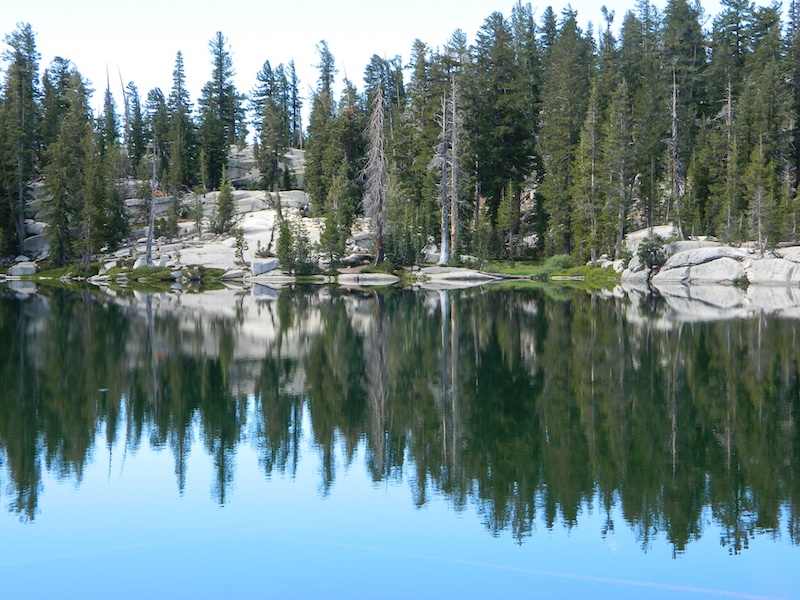
 Mount Tamalpais is considered the birthplace of mountain biking. This State Park is one of the most popular hiking areas in Marin County, California. Mount Tamalpais is the most prominent physical feature north of the Golden Gate in the San Francisco Bay area. Its slopes are covered with a variety of forests, hiking and biking trails, accessible from trailhead and campgrounds around its perimeter.

other local maps for
Marin County & Mount Tamalpais:

nearby towns:
see also –
Point Reyes Map
All Mount Tamalpais Maps


 Durable, waterproof plastic map; Folded. Map Scale: 40K; Tom Harrison brand ISBN# 9781877689673