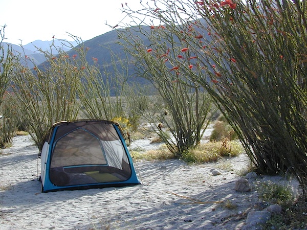
Split Mountain, Anza Borrego State Park
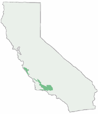
Anza Borrego Map
Both Tom Harrison and Wilderness Press make topographic maps of this beautiful desert region in Southern California. Numerous free digital maps for specific areas are now available from Avenza Maps, however we do suggest always carrying real, hard-copy maps.
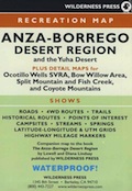
Wilderness Press Anza Borrego Desert Map
 Anza Borrego Desert State Park, San Diego Mountains, San Diego Desert Hiking, Free Car Camping, Secluded Camping California, Southern California Desert Campgrounds, SoCal Camping, OHV Trails San Diego County Back Roads
Anza Borrego Desert State Park
Anza Borrego Desert Region and in addition the Yuha Desert. Ocotillo Wells SVRA, Bow Willow Campground, Split Mountain, Fish Creek Campground, Coyote Mountains, as well as all Anza Borrego Campgrounds. Roads, highways, dirt roads, 4×4 routes, trails, San Diego back roads. Also Interstate 8, California State Route Highwy 78, San Diego County Rd S-22, San Diego Road S-2, Road S-3, Road S-1 Laguna mountains, Sunrise Highway, Great Stagecoach Route of 1849; Plastic Map ISBN# 9780899974019
This item is a companion map to the book called The Anza Borrego Desert Region, by Lowell and Diana Lindsay (Wilderness Press).

apps/maps:
download digital topos & maps
- Anza-Borrego Desert Park Map by Avenza (free)
- Anza-Borrego Map – Coyote Canyon (free)
- Anza-Borrego Map – Culp Valley (free)
- Anza-Borrego Map – Little Blair Valley (free)
- Anza-Borrego Map – Southern Overland Trail (free)
- Anza-Borrego Map – Angelina Spring (free)
- Anza-Borrego Map – Piedras Grandes (free)
- Anza-Borrego Map – Vallecito (free)
- BLM Map – Eastern San Diego Co. Routes (free)
- SD Backcountry & Anza-Borrego Desert by Tom Harrison
- CTUC Ocotillo Wells SVRA OHV Map
![]()
nearby towns:
SPRINGTIME BLOOM: Ocotillo Camping (for free) in Coyote Wash
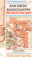
San Diego Backcountry Map
Similarly, the Tom Harrison Map for the San Diego Deserts and Anza Borrego. The #1 selling map for the San Diego deserts!
San Diego Backcountry Recreation Map covers the entire Anza Borrego Desert State Park, the largest State Park in California and some eastern portions of Cleveland National Forest; San Diego County Road S-2, S-22, Interstate 8, Highway 78 and Highway 94 to Tecate Mexico.
OLDER VERSION
Also all areas surrounding Borrego Springs, Julian and Warner Springs. PCT access (Pacific Crest Trail) plus Table Mountain, Sheep Canyon, OHV Deserts Ocotillo Wells SVRA, McCain Valley Camping, Carrizo Gorge Trestle Hike, Jacumba Hot Springs, Tierra del Sol 4×4 Trails, San Diego Lake Morena, Barrett Lake, Campo CA Potrero Regional Park, Agua Caliente Hot Springs, Carrizo Goat Trestle and Canyon sin Nombre Badlands.
Tom Harrison Recreation Map; Durable, waterproof plastic map; Folded. Map Scale: 125K; ISBN# 9781877689543

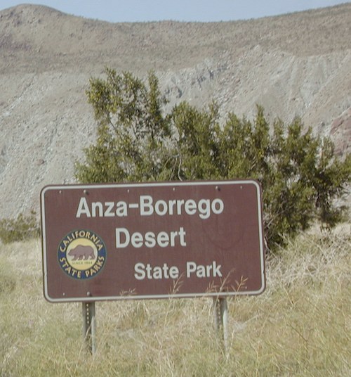
ANZA BORREGO – Largest State Park in California
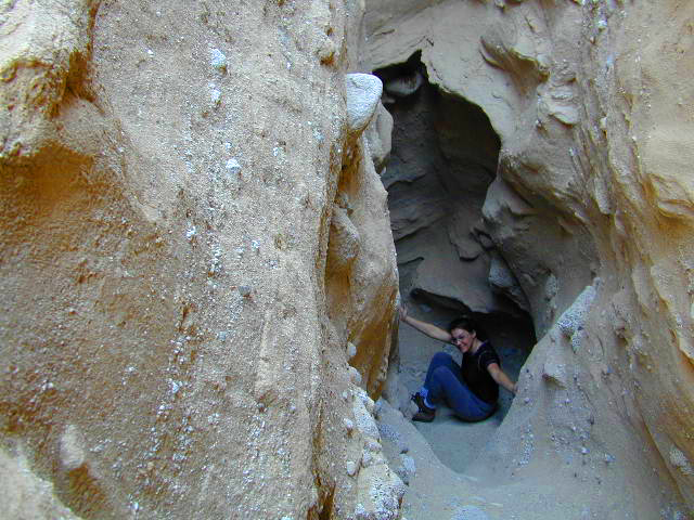
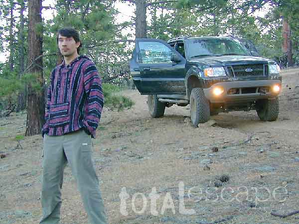
DanaMite in the Slot Canyon, way back in 2001
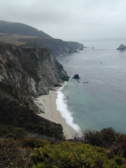
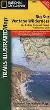 NatGeo, short for National Geographic makes three Trails Illustrated maps: colorful, topographic publications covering the entire Big Sur coast line, plus the mountain areas: