Baja Road Trip Map
Baja California Mexico
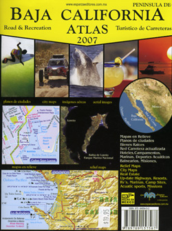
Benchmark Baja California
Road & Recreation Atlas

New atlas for Baja California MX, created by Benchmark Maps.
Released MAY 2021

 Decent printed Baja Maps are always hard to come by. If you are seeking a hard copy Baja Road Trip Map, then the links below may help you find one.
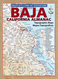
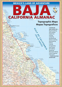
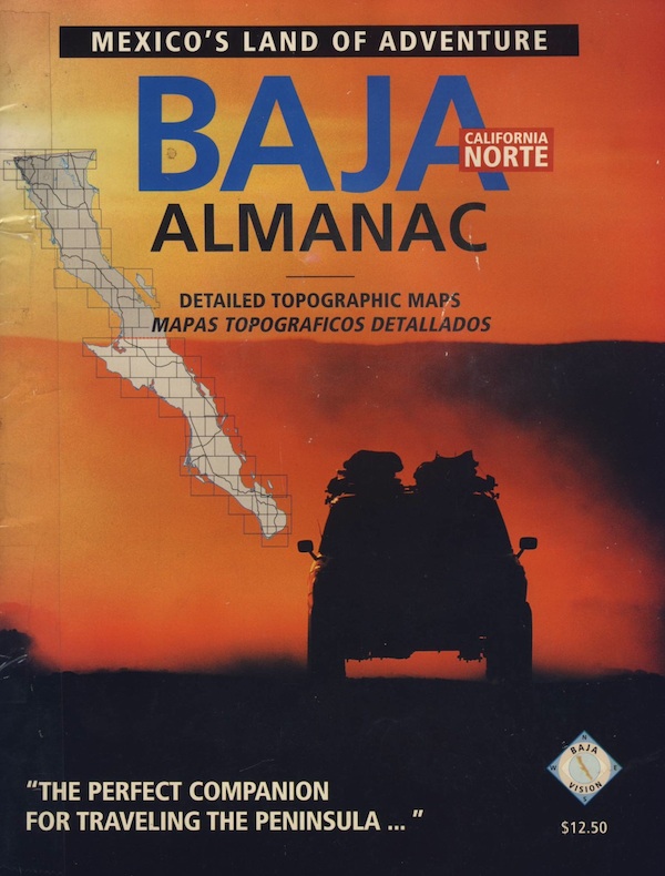
Historic Baja Almanac >
Landon’s legacy will always live on with the amazing map that he created; published between 1997-2009. The Baja California Almanac is regarded as the best topographical map of the Baja California peninsula. This map book has been out of print since 2010 and finding one on eBay or Amazon is often difficult.
 Landon S. Crumpton (RIP) * dirt biker turned map maker
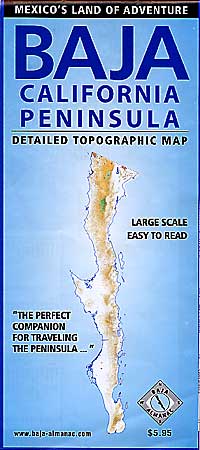
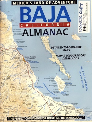
OLD fold-out MAP
This smaller Baja fold out map was a once-off map publication that was printed in the mid-2000s, but it is impossible to find now. Originally selling for a mere $5.95, they were quickly outta stock and never to be seen again.
Furthermore, if you are seeking to travel Baja California in depth, may we suggest a GPS unit; and downloading the more relevant, digital maps over at Baja GPS Guide. They have newer digital maps for this region. Claiming to be the most detailed map of Baja, Copper Canyon, and mainland Mexico. NOTE: must own a compatible GPS for this map. BAJA & MEXICO E32 TOPO MAP
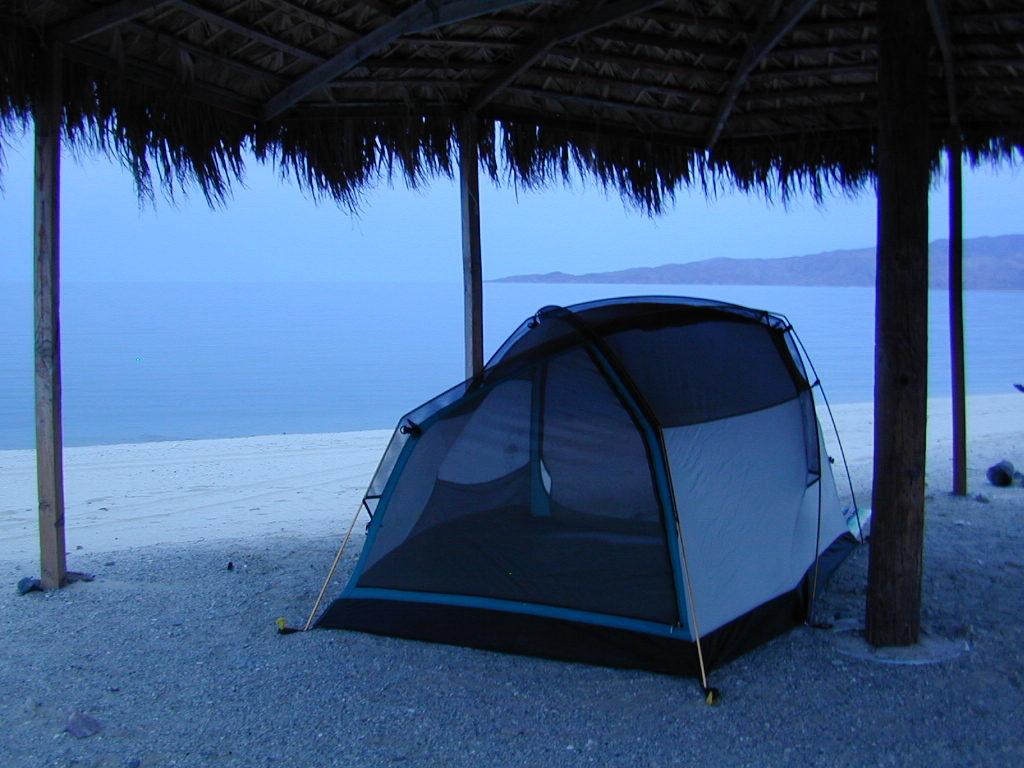
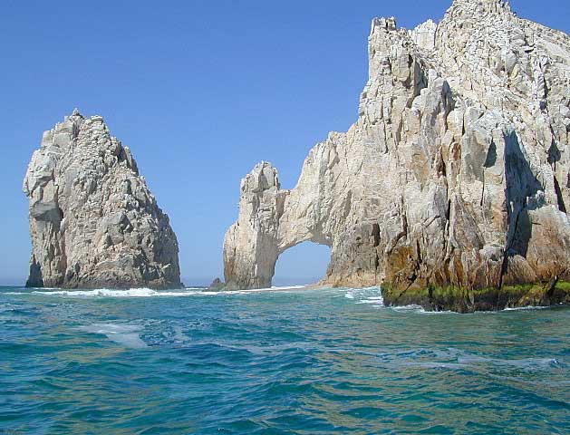
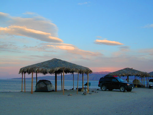
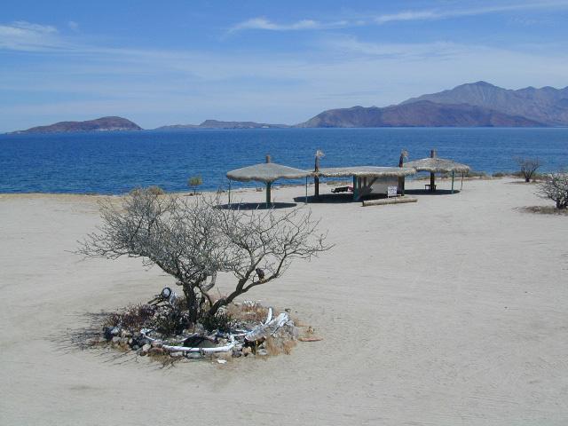
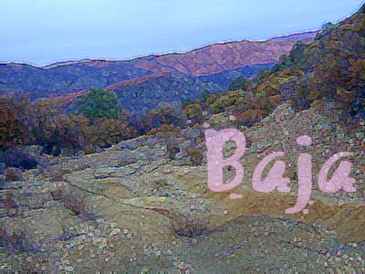
Gonzaga Bay, Baja California Mexico
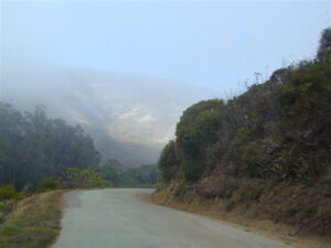
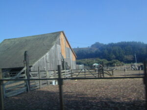
Explore Baja: Petroglyphs, Back Roads, Surf Spots, Fishing Maps, Off Road Routes, Mountains, Deserts, Camping, Beaches, Sea of Cortez; in particular, these popular favorite south-of-the-border destinations Guadalupe Canyon Hot Springs and Mikes Sky Ranch
Several notable Baja California towns:
- Bay of L.A.
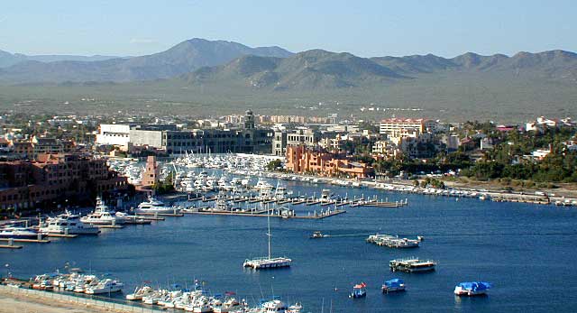
- Cabo San Lucas
- Catavina
- Ensenada
- Gonzaga Bay
- La Paz
- Puerto Nuevo
- San Felipe
- Tecate
- Todos Santos
OUT OF PRINT


Surf Baja California
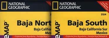
National Geographic makes Baja Maps!
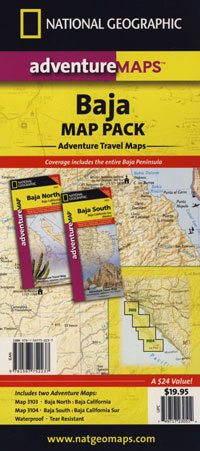
Baja Road Trip Maps (2 pack) by NatGeo