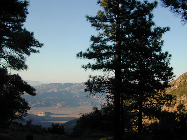
Ventana Wilderness Map

Ventana Wilderness
Big Sur Hiking Maps

Ventana Wilderness Map

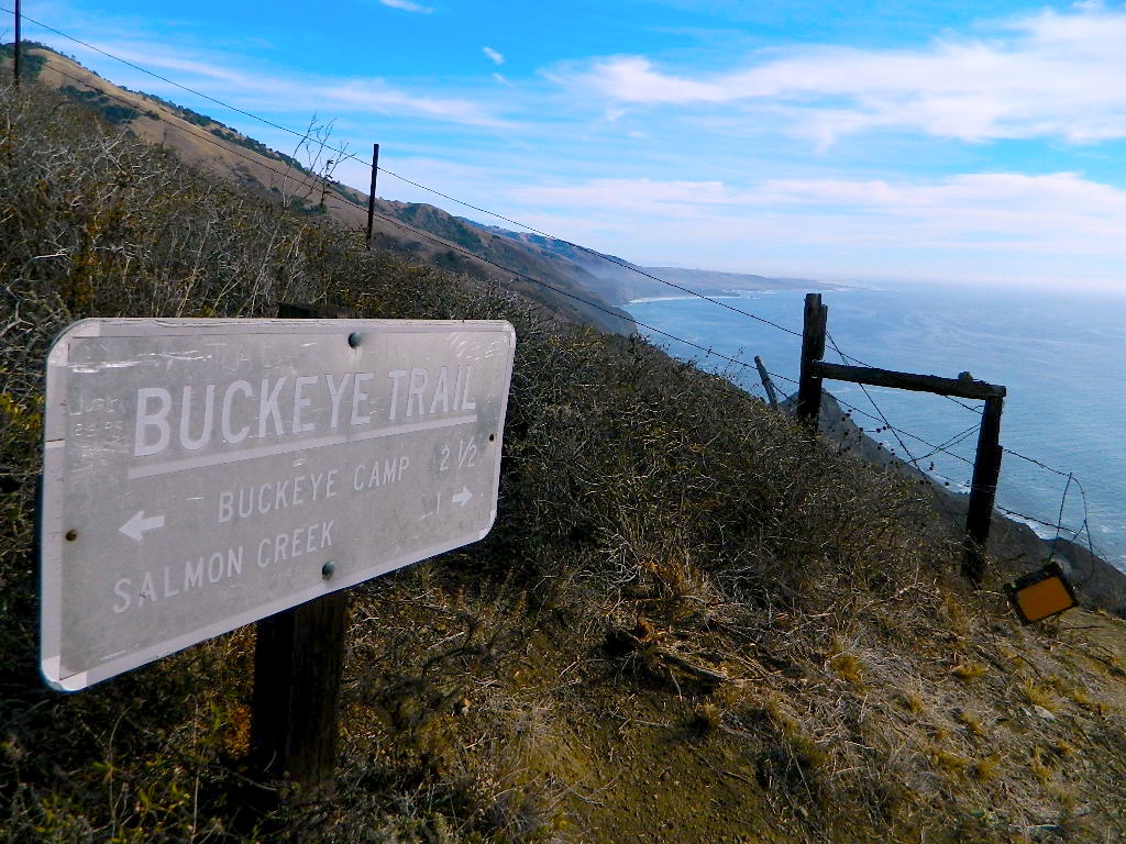
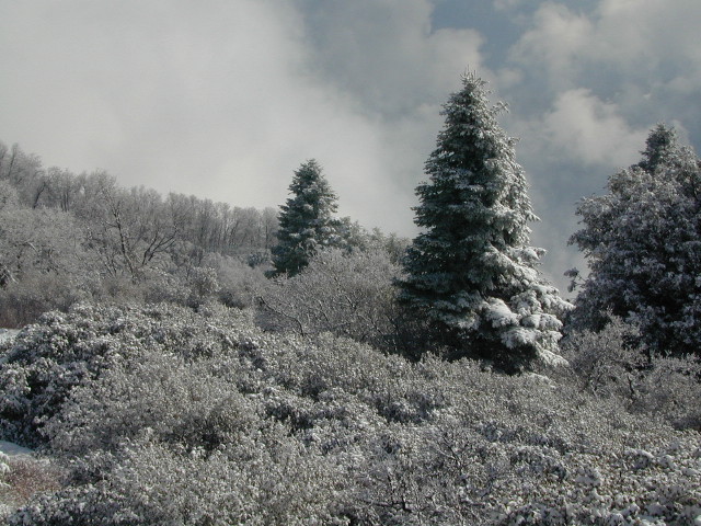
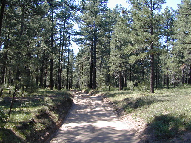
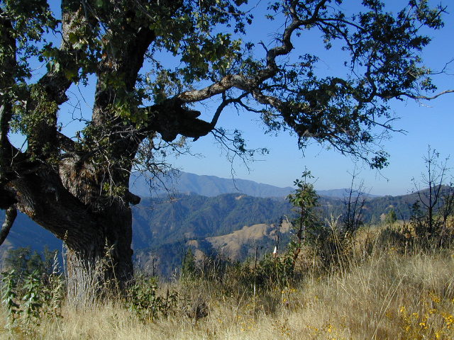
Buckeye Trail in Silver Peak Wilderness

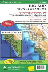
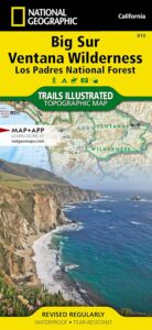
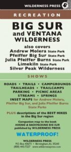
Several map makers offer topographic hiking maps for the Ventana Wilderness Map, located on the super scenic Big Sur coast in California. Silver Peak Wilderness is to the south of Ventana, and usually included on the same map. Perfect for day hikes, overnight backpacking trips or just getting an impressive view of the Pacific Ocean.

ventana map

Ventana Wilderness

Silver Peak Wilderness

Big Sur NatGeo Map

Ventana Wilderness Map USDA
found at USGS: Ventana Trail MapVentana Wilderness Map

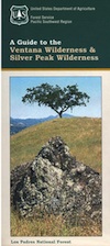
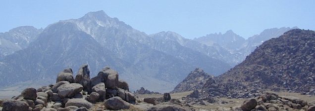
Silver Peak Wilderness located inside the northern section of Los Padres National Forest (Monterey County California)

If you plan on backpacking the Big Sur Coast, this is the California topo map you will need. This map covers both the southern section – Silver Peak Wilderness & the northern most Ventana hiking areas. This map covers everything south and east of Andrew Molera State Park over to Sierra de Salinas near Hwy 101, and southward to Ragged Point & Windy Point in the southern Big Sur coastline. Camp in coastal redwood groves, hike the trails with outstanding views over the Pacific Ocean, and play in the numerous fern lined creeks.

Map printed with vegetable oil based ink, on waterproof polypropylene plastic. Might be available from Los Padres USFS Ranger Stations. USDA printing 2007; Scale 1: 63 – ISBN# 9781593514655
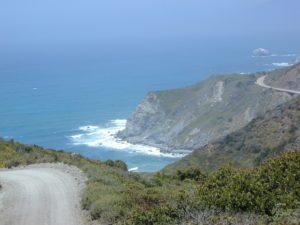
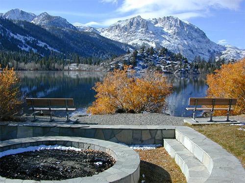
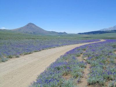
Ventana Wilderness Map

Big Sur Wilderness Press

Ventana Wilderness Map

big sur back roads

nearby towns:

Ventana Wilderness Map

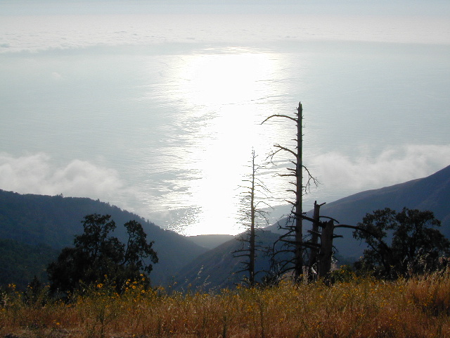
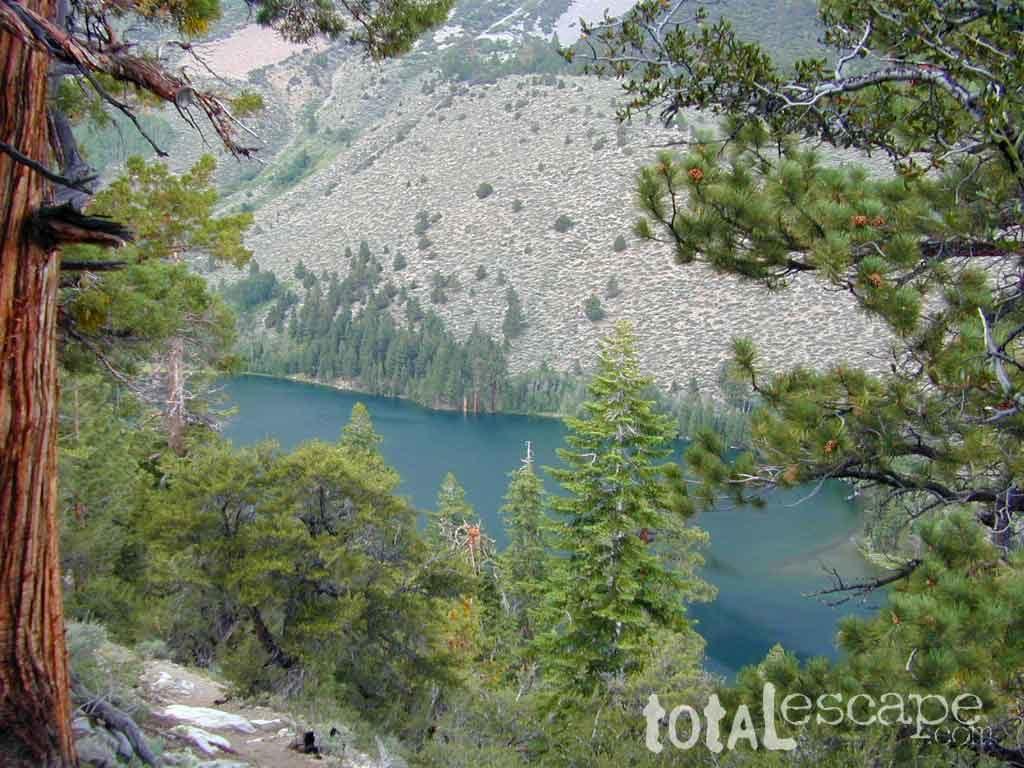
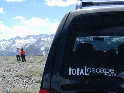
ocean glare afternoons

day hikes big sur

see also –

Big Sur Books
Big Sur Maps
Los Padres National Forest Maps
Los Padres Forest Atlas

Mount Whitney Zone Map


Mt Whitney Zone Trail Map
whitney zone trail map
Tom Harrison Maps

Mount Whitney is the tallest mountain peak in the Lower 48 USA

Mount Whitney Map, Whitney Portal. Topo Trail. Mt Whitney maps. Tom Harrison Trail Map: Mount Whitney Zone Trail Map, Lone Pine, CA; Areas include: Whitney Portal, Crabtree, Cottonwood Lakes, Rock Creek. Whitney Portal Trailheads, Outpost Camp, Trail Camp, Whitney Summit, Mountaineer’s Route, High Sierra Trail, Crescent Meadow, and the John Muir Trail Junction. Durable, waterproof plastic map; Folded. Map Scale: 31.7K; ISBN# 9781877689697

Mount Whitney Zone Map

avenza mapsdownload digital version of this map –
Mount Whitney Zone Map


  • backpacking
  • camping
  • climbing
  • fishing
  • hiking
  • horsepacking
  • mountaineering

A day hike to Mount Whitney and back to the Portal is not really possible (for most people), so an overnight backpacking trip is a given. High elevations makes for thinner air and more challenging conditions.

Permits are required to hike this popular peak – DAY HIKERS or OVERNIGHTERS. Authorities limit the amount of people that can be on these trails. A lottery tackles the choice of who gets to go this year. Annual deadline is April 30 @ recreation.gov

How many people wanna hike Whitney?

25,005 applications in 2021

Mount Whitney Zone Map

redwood maps

USEFUL LINKS:

california indpendent

Mount Whitney is the tallest mountain in the contiguous United States and the Sierra Nevada, with an elevation of 14,505 feet. It is in East–Central California, on the boundary between California’s Inyo and Tulare counties, 84.6 miles west-northwest of North America’s lowest point, Badwater Basin in Death Valley National Park, at 282 feet below sea level. The mountain’s west slope is in Sequoia National Park and the summit is the southern terminus of the John Muir Trail, which runs 211.9 miles from Happy Isles in Yosemite Valley. The eastern slopes are in Inyo National Forest in Inyo County.

Mount Whitney’s summit is on the Sierra Crest and the Great Basin Divide. It lies near many of the Sierra Nevada’s highest peaks. The peak rises dramatically above the Owens Valley, sitting 10,778 feet or just over 2 miles above the town of Lone Pine 15 miles to the east, in the Owens Valley. It rises more gradually on the west side, lying only about 3,000 feet above the John Muir Trail at Guitar Lake. The mountain is partially dome-shaped, with its famously jagged ridges extending to the sides. Mount Whitney is above the tree line and has an alpine climate and ecology.

see also –

Mount Whitney Highcountry Map
Inyo National Forest Map USDA
Inyo Forest Atlas
John Muir Wilderness Maps
John Muir Trail Books

Cleveland Forest Topo Atlas

Cleveland Forest Atlas

Cleveland National Forest Atlas Topo

camp map
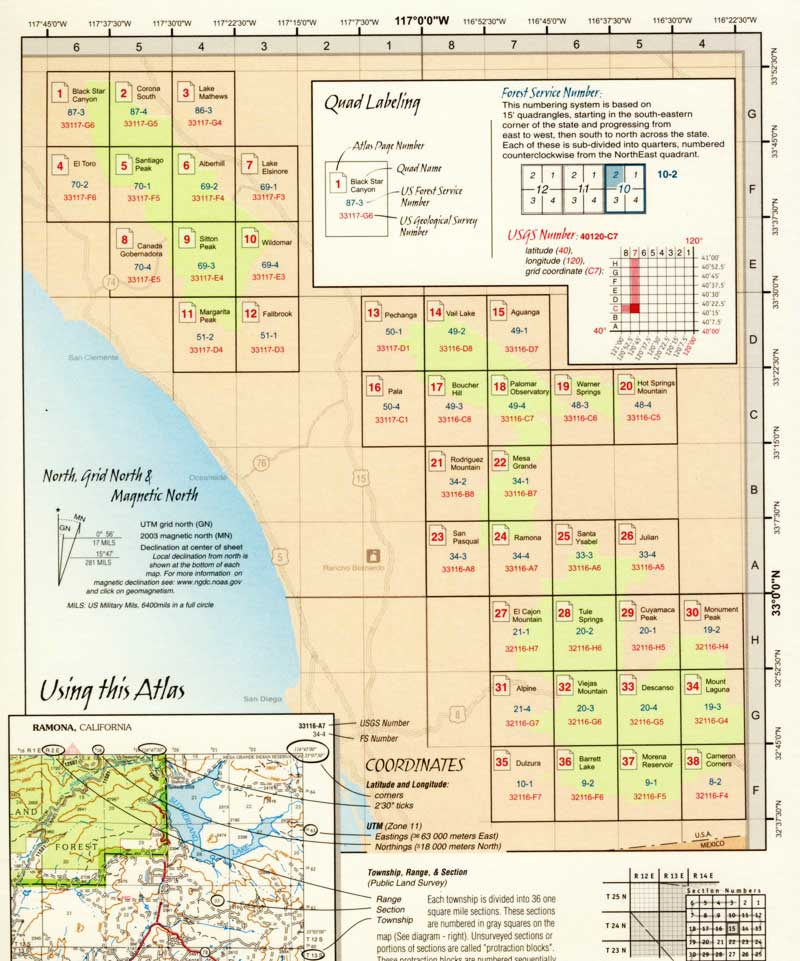
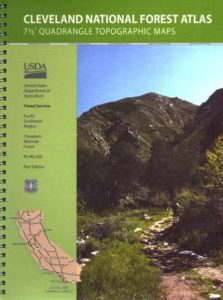
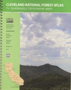
Southern California Forest Map / San Diego Mountains Topo

Cleveland National Forest

San Diego Mountains / Cleveland National Forest Map / Cleveland Forest Map

Cleveland Forest Atlas
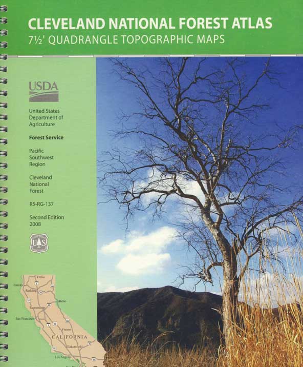
Cleveland Forest Atlas is a spiral bound book – a collection of all the quads. (7.5 minute topographical maps, of all of Cleveland National Forest; aka. San Diego backcountry) This book map has detailed topo lines, mountain peaks, streams, lakes, hiking trails & back roads. Perfect for all kinds of recreational needs. USDA

Cleveland Forest Atlas

Views over Anza Borrego Desert


Cleveland Forest Atlas

Snow at Palomar Mountain

Cleveland Forest Atlas

Cleveland National Forest QUADS:
from south to north –
Cleveland Forest Atlas

see also –

Cleveland National Forest Map
San Diego Backcountry Map
Anza Borrego Desert Map
Rancho Cuyamaca Map
Pine Creek Wilderness Map

Cleveland Forest Atlas

first edition

Cleveland Forest Atlas

a previous atlas

nearby towns –

Cleveland Forest Atlas

Morris Ranch Road, San Diego County Mountains

Inyo National Forest Map

Inyo Map

Inyo National Forest Map

Eastern Sierra Map, Inyo Map, Mt Whitney, Bishop Wilderness
NFS – USDA – U.S. Forest Service

USDA maps created for the National Forest Service. GPS: Longitude & Latitude; Rivers, Creeks, Peaks, Elevations, 4WD & every dirt BackRoad, Hot Springs, Equestrian Areas, all Campgrounds, Hiking Trails & Backpacking Trailheads.NFS

Areas include: Eastern Sierra, Range of Light, Owens Valley, Hwy. 395, Bishop, Lone Pine, Lee Vining, Independence, Mammoth, June Lake, East Yosemite, Mount Whitney, Mono Basin, White Mtns, Ancient Bristlecone Pine Forest, Monache Mdws, Golden Trout Wilderness, Cottonwood Lakes, Sierra Lakes, Mono Lake, John Muir Trail & JM Wilderness, Ansel Adams Wilderness, Lake Crowley, Hot Springs, Rock Creek, Inyo Mtns, Kennedy Mdws, South Sierra Wilderness.

inyoinyoNF

inyo2002

older version

INYO_mountains

paper map from 1993


gull_lake

Gull Lake, next to June Lake in the Eastern Sierra

giganta
Eastern Sierra California
Inyo National Forest

Wilderness Areas in Eastern California:

White Mountains
Ancient Bristlecone Pines
John Muir Wilderness
Ansel Adams Wilderness
Hoover Wilderness
Yosemite EAST Wilderness
Fish Slough, N Bishop, CA
Piper Mountain Wildernesshiker
Kings Canyon High Country
Golden Trout Wilderness
South Sierra Wilderness
Inyo Mountains Wilderness

Inyo Hiking, off road, 4×4, Eastern Sierra, Mount Whitney, John Muir, Ansel Adams, Sierra Lakes, Inyo National Forest Topo Maps, Topographical Inyo Map, Eastern Sierra, Olancha Peak, Lone Pine, Alabama Hills, Whitney, Mammoth, June Lake, Rock Creek, Lee Vining, Bishop, Baker Creek, Sabrina, Palisades Glacier, Onion Valley, Independence, Coyote Flat, High Sierra Lakes, Eastern California

walkerlake

Hike-in only, Walker Lake @ June Lake Loop

see also –Inyo Forest Topo Atlas
inyotopoatlaa

find more Eastern Sierra maps:

Ansel Adams Wilderness Maps
Bishop Pass Map
Bodie Ghost Town Map
Death Valley Park Maps
Devil’s Postpile Map
Dome Land Wilderness Map
Golden Trout Wilderness Maps
Hoover Wilderness Map
Jawbone Canyon OHV Map
JMT – John Muir Trail Map
Kern River Maps
Kings Canyon Highcountry Map
Mammoth High Country Map
Mono Divide Topo Map
Mono Lake Map
Mount Whitney Maps
NatGeo Mammoth Map #809
Palisades Trail Map
Toiyabe National Forest Map

Pacific Crest Trail Mapspct
PCT Map #3 South Sierra
PCT Map #4 Mid Sierra

EASTERN SIERRA LINKS:

Campgrounds Eastern Sierra
Camping Inyo
Eastern Sierra Hiking
Eastern Sierra Lakes
Inyo Forest Roads
June Lake Loop #1S63
Lundy Lake
Mammoth Fishing
Mono Lake, California
Onion Valley
Rock Creek Road
Silver Lake @ June
Walker Creek Olancha
Walker Lake Hike

lupineway

Lupine Way – Coyote Flat, W of Bishop, CA

NEARBY TOWNS:

highsierra SUV

The High Sierra @ 10,000′ elevation, by SUV

avenzabar

digital maps for download

BLM Map – Alabama Hills Recreation Area (free)
Mammoth Mountain Topographic Map
NatGeo Map 809 – Mammoth Lakes, Mono Divide
Convict Lake Topographic Map
CTUC Inyo National Forest (north) OHV Map
CTUC Inyo NF (south) OHV Map
Inyo MVUM – Monache Mdws, South Fork Kern River (free)
Inyo MVUM – Inyo Mountains Map (free)
Inyo MVUM – Bald Mountain Mono (free)
Inyo MVUM – White Mountains Map (free)
Inyo MVUM – Glass Mountain Map (free)

inyohighroads

Upper Baker Creek Road, 4×4 Camping