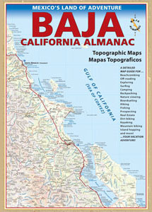
Baja California Almanac Map
The Biggest & Best Baja California Topo Atlas
Baja Almanac Map
 This map covers both top and bottom of the peninsula: Baja Norte (NORTH) & Baja Sur (SOUTH), BC Mexico
Baja Almanac PDF?
2021 UPDATE:
available for free, in a PDF download from
baja-almanac.com
NOTE: every so often these printed map books can be found on eBay or Amazon,or elsewhere online usually commanding a high for price tag for a “used copy”

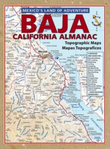
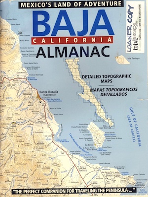
Baja Almanac 2003
Baja Almanac – by Landon S. Crumpton
Mexico Maps – Both Northern & Southern Baja California in one atlas. The Best Maps of Baja, period! Excellent resource while traveling in Mexico. If you plan on driving deep into Baja and really exploring back roads, hidden coves, surf spots, deserts, petroglyphs… this is the map to have.
2009 edition (large format)
This version was the largest format ever printed on this map, detailing every inch of Mexico’s Baja California peninsula. Thinner and larger means less page flipping. With over 10,000 entries, the Baja Almanac lets you pinpoint any location in Baja, down to the most remote ranch or campsite. Published 2009. ISBN# 9780965866347
- Larger Size: 10.75″ wide x 15.25″ tall
- Printed on 70lb Paper with Matte Finish, a crisper, more defined presentation
- Adjoining Map Overlap, each map displays an overlapping segment of adjoining map pages
- Updated Land Routes & Cultural Features
- Complete Indexes, Mileage Chart and Primary Route Distance in both miles & kilometers
OLDER VERSION
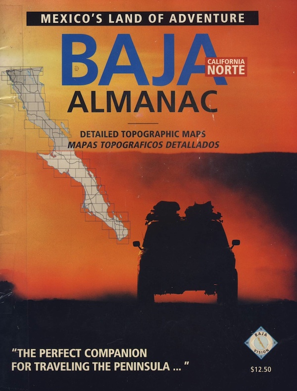
REAL OLD VERSION
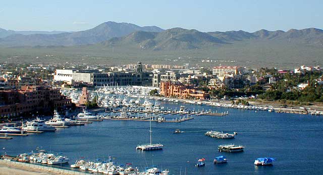
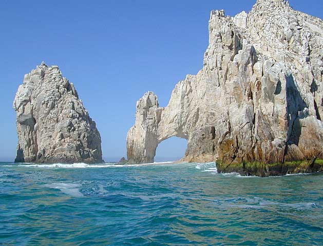
CABO SAN LUCAS MARINA
NatGeo makes waterproof hard-copy maps of the the Baja Peninsula.
see –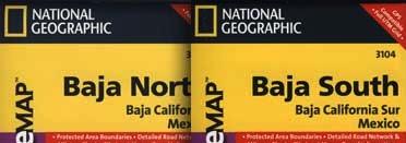
National Geographic Baja Maps

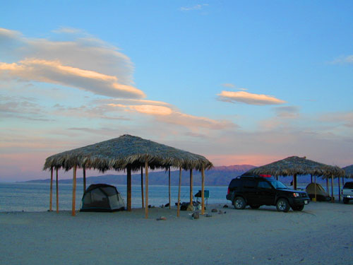
Gonzaga Bay, Baja California
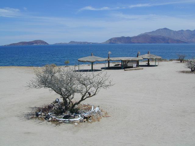
Bay of L.A.(aka Bay of Los Angeles) Baja California
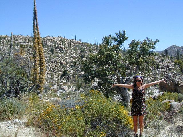
DanaMite @ Catavina, B.C. Mexico