Kings Canyon High Country Map

Kings Canyon Topo Map

Kings Canyon Wilderness Map

Tom Harrison Trail Map: Kings Canyon High Country Trail Map. Areas include: Rae Lakes, Paradise Valley, Cedar Grove, Kearsarge Pass, LeConte Canyon, Crown Valley, Tehipite Valley, Blackcap Basin; John Muir PCT Wilderness Map, Pacific Crest Trail, US Hwy 395 Eastern Sierra Nevada; Backpacking High Sierra, Hiking Backpacking Kings Canyon National Park.

Durable, waterproof plastic map; Folded. Map Scale: 63K; ISBN# 9781877689451

Kings Canyon Wilderness Map

Granite peaks around Kearsarge Pass are simply awesome

Kings Canyon Wilderness Trail Maps

Kings Canyon Wilderness Map

avenza mapsdownload digital version of this map –
Kings Canyon High Country Map

fishing map

Kings Canyon Wilderness Map

OLD EDITION

Kings Canyon National Park NPS

Kings Canyon Wilderness Map

see also –
Kearsarge Pass Trail Map
Sequoia Kings NP Map by NatGeo
Sequoia Kings Map by Tom Harrison
JMT – John Muir Wilderness Maps
Mineral King Topo Map

nearby destinations –Kings Canyon Wilderness Map

"<yoastmark

Shasta Books

Shasta

Find Shasta Maps:

Books about Mount Shasta, Lake Shasta & Old Shasta, located in Northern California


Mount Shasta is a potentially active volcano at the southern end of the Cascade Range in Siskiyou County, California. At an elevation of 14,179 feet, it is the second-highest peak in the Cascades and the fifth-highest in the state. Mount Shasta has an estimated volume of 85 cubic miles, which makes it the most voluminous stratovolcano in the Cascade Volcanic Arc. The mountain and surrounding area are part of the Shasta–Trinity National Forest.

camp mapThe summer climbing season runs from late April until October, although many attempts are made in the winter. Mount Shasta is also a popular destination for backcountry skiing. Many of the climbing routes can be descended by experienced skiers, and there are numerous lower-angled areas around the base of the mountain.

The most popular route on Mount Shasta is Avalanche Gulch route, which begins at the Bunny Flat Trailhead and gains about 7,300′ of elevation in a round trip of approximately 11.5 miles. The crux of this route is considered to be to climb from Lake Helen, at approximately 10,443′ to the top of Red Banks. The Red Banks are the most technical portion of the climb, as they are usually full of snow and ice, are very steep, and top out at around 13,000′ before the route heads to Misery Hill.

snowThe Casaval Ridge route is a steeper, more technical route on the mountain’s southwest ridge best climbed when there’s a lot of snow pack. This route tops out to the left (north) of the Red Banks, directly west of Misery Hill. So the final sections involve a trudge up Misery Hill to the summit plateau, similar to the Avalanche Gulch route.

Climbing Mount Shasta can be done in one day; however, it is often completed in two days. Climbers can ascend from Avalanche Gulch and camp at either Horse Camp @ 7,900′ elevation, or at Helen Lake @ 10,400′. Camping at a higher altitude also helps with acclimatization and often reduces risk of altitude sickness.

hikers mapNo quota system currently exists for climbing Mount Shasta, and reservations are not required. However, climbers must obtain a summit pass and a wilderness permit to climb the mountain. Permits and passes are available at the ranger station in Mount Shasta and the ranger station in McCloud, or climbers can obtain self-issue permits and passes at any of the trailheads 24 hours a day.

Mount Whitney High Country Map


Mount Whitney High Country Trail Map
Whitney High Country Map
Tom Harrison Maps

Mt Whitney is the highest mountain peak in the lower 48!

Mount Whitney High Country Map, Whitney trail map, Topo trails. Tom Harrison Trail Map: Mount Whitney High Country, with Lone Pine California. Pear Lake, Lodgepole, Mineral King, Mt. Whitney Peak, Kern Canyon, Ash Mountain, Whitney Portal, Little Five Lakes, Bearpaw Meadow, Triple Divide Peak, Cottonwoods Lakes, Horseshoe Meadow. Eastern Sierra, High Sierra Backpacking, Mount Whitney Map, Hike, Inyo National Forest, Eastern Sierra, Mount Whitney Map by Tom Harrison, Hike, Inyo National Forest, Eastern Sierra Hikes, Mt Whitney California Topo, Waterproof, Topographic Maps California, Sierra Whitney Hike, High Country Trails, California Sierra Mountains Durable, waterproof plastic map; Folded. Map Scale: 63K; ISBN# 9781877689512

avenza mapsdownload digital version of this map –
Mt. Whitney High Country Map

hikers map

see also –

Mount Whitney Zone Map
Kings Canyon Highcountry Map

Whitney Map

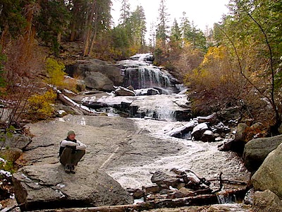
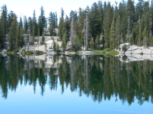
Whitney Portal Falls

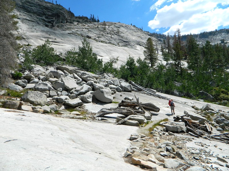
A day hike to Mount Whitney and back to the Portal is not possible, so an overnight backpacking trip is a given. High elevations makes for thinner air and more challenging conditions.

Permits are required to hike this popular peak. They limit the amount of people that can be on these trails. A lottery tackles the choice of who gets to go this year. Annual deadline is April 30 @ recreation.gov

Whitney High Country Map

USEFUL LINKS:

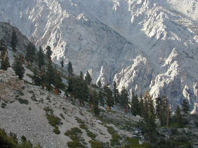
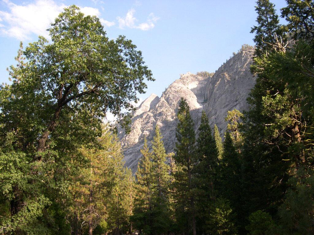
Mount Whitney is the tallest mountain in the contiguous United States and the Sierra Nevada, with an elevation of 14,505 feet. It is in East–Central California, on the boundary between California’s Inyo and Tulare counties, 84.6 miles west-northwest of North America’s lowest point, Badwater Basin in Death Valley National Park, at 282 feet below sea level. The mountain’s west slope is in Sequoia National Park and the summit is the southern terminus of the John Muir Trail, which runs 211.9 miles from Happy Isles in Yosemite Valley. The eastern slopes are in Inyo National Forest in Inyo County.

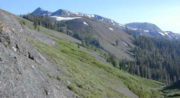
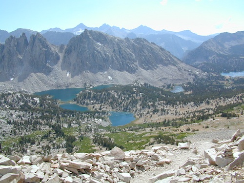
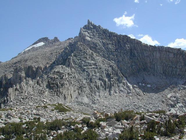
Mount Whitney’s summit is on the Sierra Crest and the Great Basin Divide. It lies near many of the Sierra Nevada’s highest peaks. The peak rises dramatically above the Owens Valley, sitting 10,778 feet or just over 2 miles above the town of Lone Pine 15 miles to the east, in the Owens Valley. It rises more gradually on the west side, lying only about 3,000 feet above the John Muir Trail at Guitar Lake. The mountain is partially dome-shaped, with its famously jagged ridges extending to the sides. Mount Whitney is above the tree line and has an alpine climate and ecology.

nearby towns:

PCT Map #4 Mid Sierra

USDA PCT Map 4
PCT Map #4 Central Sierra Nevada Mountains

Le Conte to Lake Tahoe

Pacific Crest Trail National Scenic Trail
PCT – Hiking Map 4

USDA PCT Map 4

ALPINE LAKES, everywhere!

Sierra Nevada Mountains, spanning from Le Conte Canyon to Barker Pass, on the west side of Lake Tahoe. Kings Canyon National Park northward to Lake Tahoe. Covers most of the High Sierra (N of Whitney) and so much more; from Bishop Pass, Mammoth Lakes, Yosemite National Park, Sonora Pass, Emigrant Wilderness, Ebbetts Pass, Carson Pass, and then overlook the massive mountain lake known as Tahoe. USDA, Large fold out map, durable waterproof paper w/ sturdy cardboard cover. ISBN# 9781593514716

USDA PCT Map 4
USDA PCT Map 4

LOCALS TIP: If you must hike only ONE SECTION of the PCT, then this one stretch, LE CONTE to LAKE TAHOE, is by far the best for high altitude beauty.  Granite peaks, passes, total alpine lake bliss, with incredible mountain scenery. When you must limit your big adventure trek, due to time constraints, this portion is some of the most beautiful high elevation terrain in the whole darn nation. Seriously. Better than a movie!

Services like grocery, laundromats, hotels, restaurants, post office, available in SLT (South Lake Tahoe). Postal, food & lodging can be had in numerous locations along certain high country routes – like Vermillion Resort @ Lake Edison. The PCT guide books give good descriptions of these handy trailheads with services, in way more detail.

USDA PCT Map 4

Yosemite Granite

see also –
Kearsarge Pass Trail Map
Kings Canyon Highcountry Map
Sequoia Kings NP Maps
Mono Divide Highcountry
Mammoth & Mono Map by NatGeo
Mono Lake Map
Yosemite Maps by NatGeo
Yosemite Maps by Tom Harrison
Emigrant Wilderness Map
Toiyabe National Forest Map
Hoover Wilderness Map
Lake Tahoe Maps

USDA PCT Map 4

Carson Iceberg Wilderness