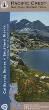
Emigrant Trail Maps
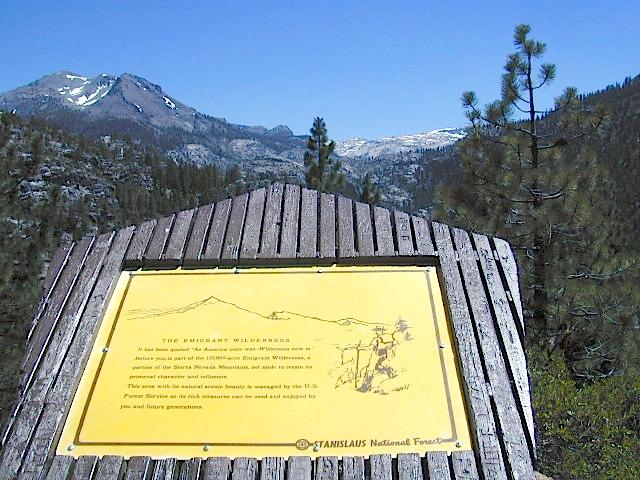
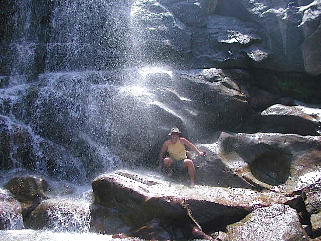
Emigrant Wilderness Area
part of Stanislaus National Forest
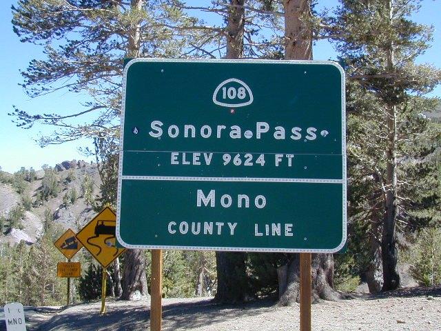
Highway 108 – Sonora Pass
Sierra Nevada Gold Country
North of Yosemite National Park
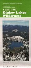
Emigrant Wilderness Map USDA

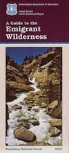
OLD VERSION
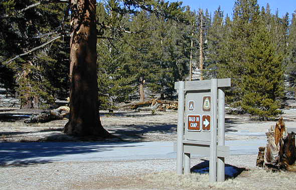
High Sierra with deep snow closes this region annually. This is usually the last Sierra Hwy Pass to OPEN for through-traffic in summer. It gets more snow than Yosemite. Check local rangers for all road conditions, fire info, trail access points before departing on a backcountry trip. Wilderness permits and campfire permits are always required!
Waterproof Plastic Paper. 1″ to mile; Usually only found at Ranger Stations – Hard to find maps. Perfect for a day hike reference or extended backpacking adventures. Printed on plastic in 2016. ISBN# 9781628114133
Emigrant Wilderness Trail Map
Topo Maps by Tom Harrison

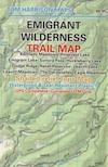
OLD VERSION
Tom Harrison Trail Map: Emigrant Wilderness Map Trail Map, Sonora Pass Map, Sierra Nevada; Kennedy Meadows, CA. Pinecrest Lake, Dodge Ridge, Relief Reservoir, Leavitt Lake, Leavitt Meadows, The Dardanelles, Eagle Meadows; Sonora River fishing, Dardanelle CA. Durable, waterproof plastic map; Folded. Map Scale: 63.4K; ISBN# 9780989457910
Wilderness Press Topographic Map


see also –
Stanislaus National Forest Map
Stanislaus Forest Atlas
Yosemite High Country Map
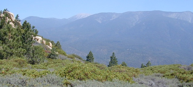
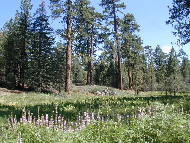
 Muah Mountain,

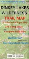

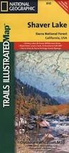
 National Geographic Map #810; Shaver Lake Map, Huntington Lake, Sierra National Forest maps from National Geographic. 4×4 routes around the central Sierra Nevada. Dinkey Lakes Wilderness, Kaiser Wilderness, Rancheria Falls, Black Point, Lewis Creek Tamarack Creek, Red Mountain, Red Lake, Sierra Vista Scenic Byway, Sierra Heritage Scenic Byway. Hiking, mountain biking, horse back & OHV trails. Lake trails, wilderness trail, loop trail, lake campgrounds. Two sides, waterproof & tear resistant. Map Scale 1:63,360 / 1 inch = 1 mile. ISBN# 9781566952422