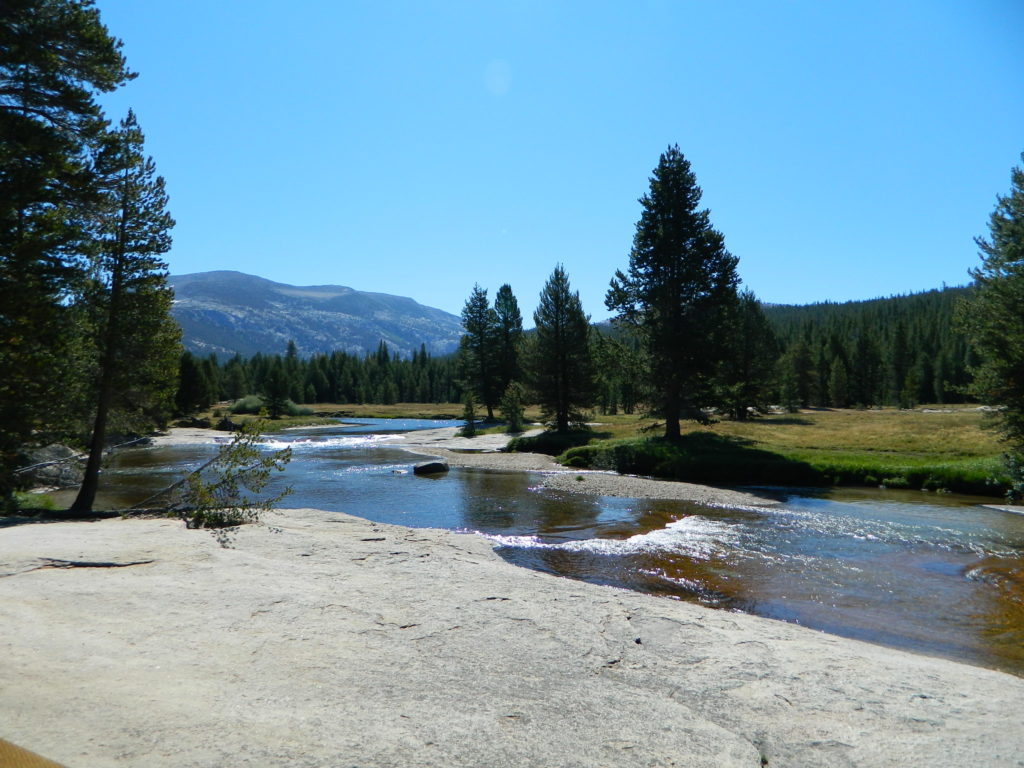
Tuolumne Meadows Map

Tuolumne Meadows Map
Tuolumne Trail Map
Tom Harrison

2022: OUTTA PRINT & UNAVAILABLE

HIGH SIERRA CAMP LOOP
Tuolumne climbing. Tuolumne falls. Tuolumne hikes.
Tuolumne Meadows Map

PREVIOUS VERSION

Tuolumne Meadows & Tuolumne River

Yosemite National Park hikes

Tuolumne Meadows Trail Map; Yosemite Tuolumne Mdws Hiking Map. Areas include: High Sierra Camps, May Lake, Vogelsang Camp, Sunrise Camp, Elizabeth Lake, Tenaya Lake, Yosemite Backcountry Highcountry, Waterwheel Falls, Merced Lake, Glen Aulin. Map features the entire High Sierra Camp Loop Trail, and interception of the John Muir Trail and the Pacific Crest Trail.

Topo Yosemite Topo Maps Backpacking Tuolumne High Country, High Sierra Loop Maps; GPS Compatible. Durable, waterproof plastic map; Folded. Map Scale: 42K; ISBN# 9781877689802

Tuolumne Meadows Mapdownload digital version of this map –
Tuolumne Meadows Hiking Map
to Vogelsang

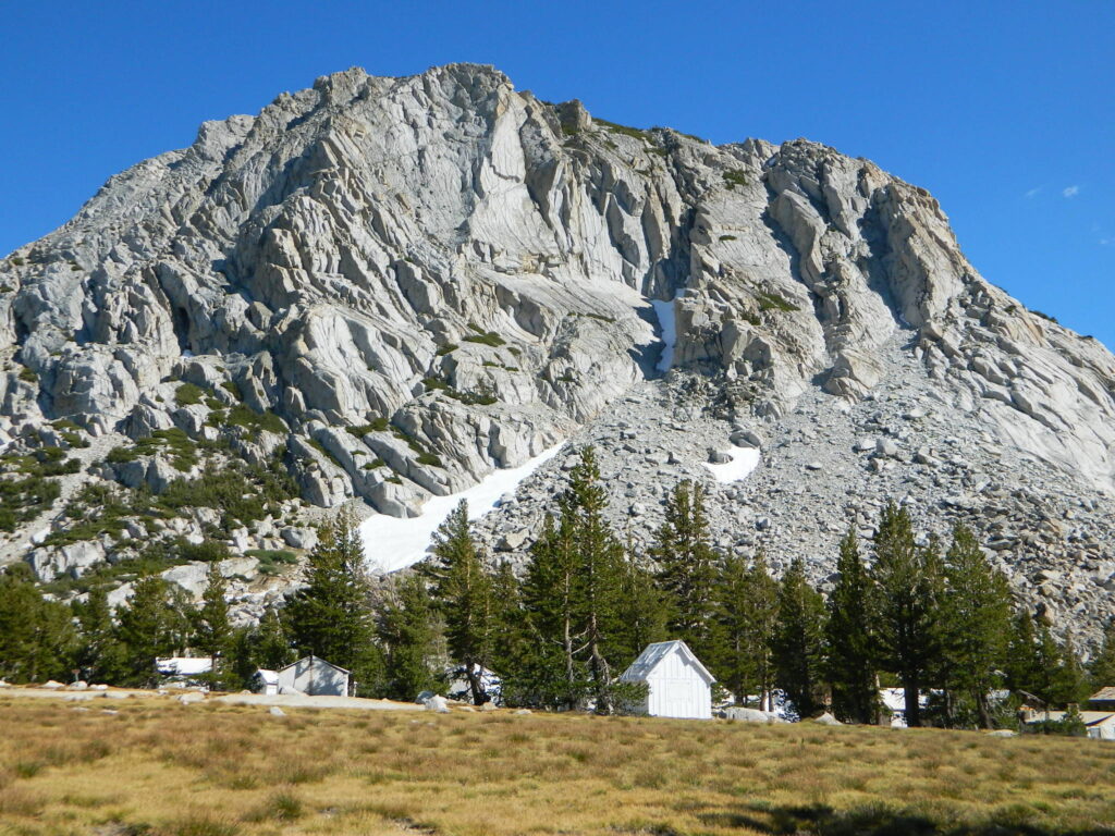
Vogelsang Camp

Vogelsang Camp

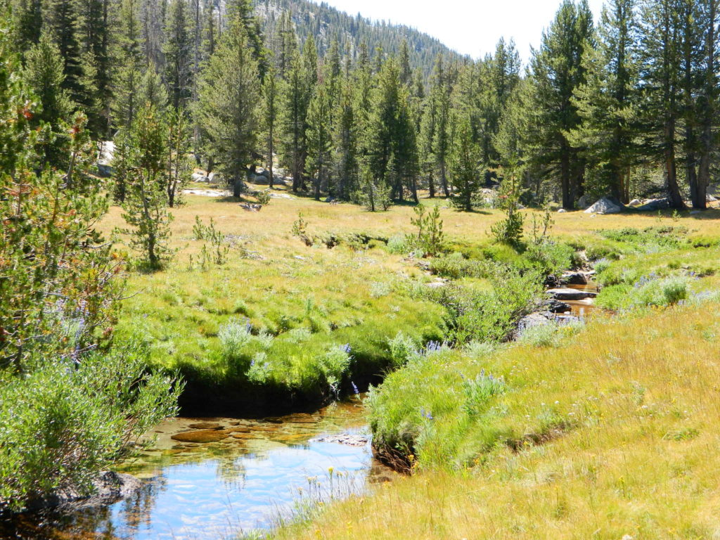
High Sierra Camps at Yosemite National Park are a network of summer tent cabin camps, erected in the wilderness, that are linked by a 50 mile loop hiking trail. The only way to reach these camps is on foot. Call it ‘ultralight backpacking’ cuz you can leave out the tent, stove and half the food. Meals are prepared in kitchens at each camp. Passing alpine lakes, creeks, meadows and granite peaks, the trails cover granite slabs, waterfalls, wildflowers and epic views of the back country. Advance reservations are required.

HSC Loop:

  • Tuolumne Meadows Camp
  • Volgelsang Camp
  • Lake Merced Camp
  • Sunrise Camp
  • May Lake Camp

Hiking Maps

see also –

All Yosemite Maps by Tom Harrison
Half Dome Trail Map
All Yosemite Maps by NatGeo
Ansel Adams Wilderness Maps
John Muir Trail Map 

Yosemite National Park Map

Yosemite Park Maps
Hiking Map Yosemite

merced bridge

Since Yosemite National Park is one of the most popular destinations inside California, several cartographers make overview maps and hiking maps for this busy park. Much of the area is covered in snow half the year and roads are closed annually. So know before you go and call the rangers. Double check campgrounds, trails, road conditions and weather, all prior to trip departure.

Tom Harrison is has an extensive list of trail maps which include the low elevations of Yosemite Valley, as well as the higher elevation backcountry. Waterproof trail maps, topographic w/ camps, canyons, climbs, creeks, lakes, peaks, all terrain.

Yosemite National Park Map

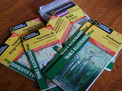
National Geographic also makes a series of colorful Yosemite maps, which span the whole park from west to east. Waterproof, tear-resistant, folded, two-sided maps. Wilderness Press makes a couple too!

Yosemite Topo Maps

Yosemite National Park Map
by Tom Harrison Maps

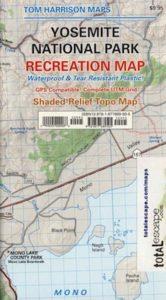
Tom Harrison Recreation Map

Yosemite National Park Map, Topo Map Yosemite Parks Trails, Hiking Trails Yosemite overview Map; GPS compatible, UTM grid; Shaded relief topo map. Durable, waterproof plastic map; Compact and folded. Map Scale: 125K; ISBN# 9781877689505

avenza mapsdownload digital version of this map –
Yosemite National Park Map

driftwood

Yosemite National Park Map

OLDER MAP

Yosemite National Park Map

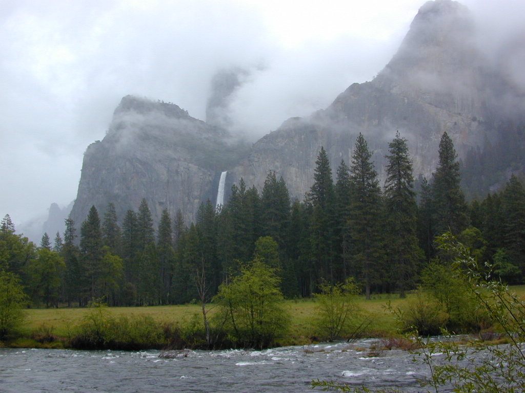
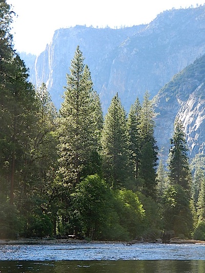
Merced River, Yosemite Valley, CA

Yosemite Maps

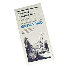
SUPER OLD Trails Illustrated MAP

see also –

All NatGeo Yosemite Maps
All Tom Harrison Yosemite Mapscamp map

Inyo National Forest USDA
Sierra National Forest USDA
Stanislaus National Forest USDA

Ansel Adams Trail Map
Half Dome Hiking Map
John Muir Wilderness Maps
Tuolumne Meadows
Yosemite High Country Maphikers map
Hetch Hetchy Map
Hoover Wilderness Trail Map

Yosemite National Park Map

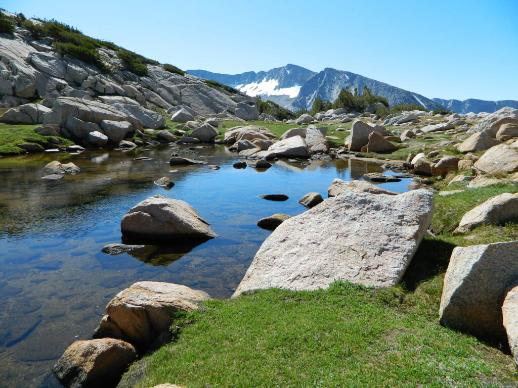
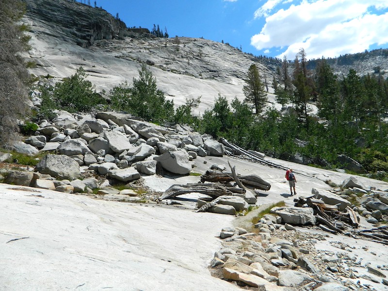
Yosemite Granite Slabs – High Sierra Camp (HSC) hiking Vogelsang to Lake Merced

Hoover Wilderness Map

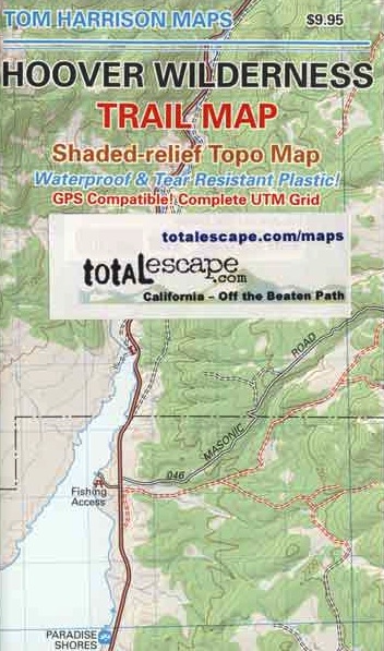
Hoover Wilderness Trail Map
Tom Harrison Topo Map

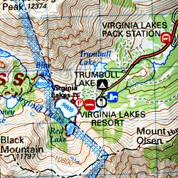
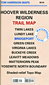
Hoover Wilderness Trail Map, Bridgeport California Backpacking High Sierra CA; Twin Lakes Hoover trailhead access, Lundy Lake, Green Creek Fishing Camping, Virginia Lakes Eastern Sierra, Buckeye Creek Campgrounds, Buckeye Hot Springs, Leavitt Meadows, Matterhorn Peak, Yosemite Park north boundary, Hoover Trail Maps; Fishing lakes, horseback trails, creeks, peaks and more high country bliss. Autumn colors are spectacular in this region.

Durable, waterproof plastic map; Folded. Map Scale: 63.36K; ISBN# 9781877689895

avenza mapsdownload digital version of this map
Hoover Wilderness Map

Hoover Wilderness Map

area attractions

hooverpeaks

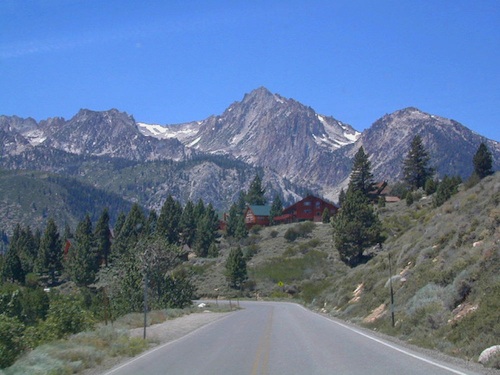
Mountain peaks in Hoover Wilderness tower above Twin Lakes, CA

Trails Illustrated Maps by National Geographic makes a Yosemite NORTH EAST map that covers Tuolumne Meadows, Tioga Pass and the Hoover Wilderness Area. Topographic, colorful, waterproof.hikers map

see also –

Toiyabe National Forest Map
Tuolumne Meadows Map
Yosemite Highcountry Map
Merced & Tuolumne Rivers Map

Sierra map

nearby towns:

Hoover Wilderness Map USDA

Hoover Wilderness Map

USDA Hoover Map

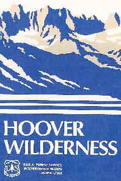
Hoover Wilderness (Part of Southern Toiyabe NF), Bridgeport California; Green Creek, Twin Lakes, Hiking trails, topographic.

Paper Map might be found only at USFS Ranger Stations – Toiyabe National Forest

1″ to mile; Perfect for a day hike reference,hiking to fishing lakes or an extended backpacking adventure. Way less crowded than the western side of the Sierra Nevada mountains.

hoover

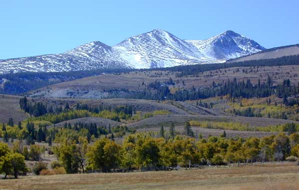
Dunderburg Meadow, east of Hoover Wilderness

Backpacking Hoover Wilderness, Topo, Hiking Trails, Southern Toiyabe NF, Bridgeport California; Green Creek, Twin Lakes Hiking, Backpacking Bridgeport, Sierra Nevada, Toiyabe Forest, Eastern Sierra Hikes

Hoover Wilderness Map

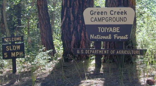
Green Creek has trailheads to Hoover Wilderness


Hoover Wilderness Map

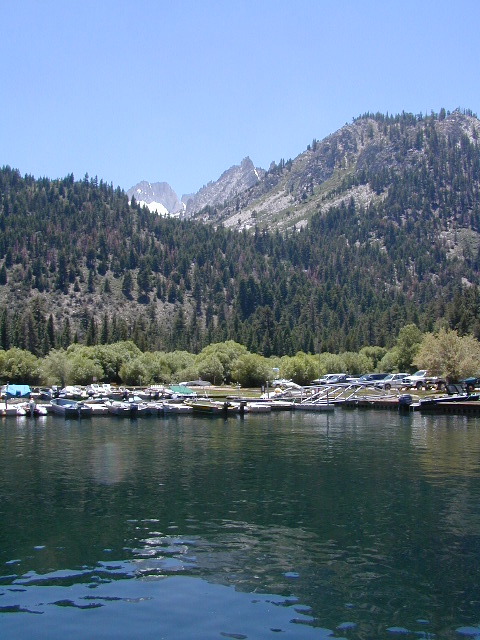
Twin Lakes is located on the east side of Hoover, while Yosemite lies on the west.

Hoover Wilderness Map

OLDER VERSION

Hoover Wilderness Map

REAL OLD MAP

Emigrant Wilderness Trail Map
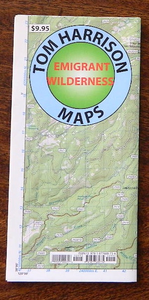
Emigrant Wilderness Trail Map
Tom Harrison Maps

Tom Harrison Trail Map: Emigrant Wilderness Trail Map, Sonora Pass Map, Sierra Nevada; Kennedy Meadows, CA. Pinecrest Lake, Dodge Ridge, Relief Reservoir, Leavitt Lake, Leavitt Meadows, The Dardanelles, Eagle Meadows; Sonora River fishing, Dardanelle CA. Durable, waterproof plastic map; Folded. Map Scale: 63.4K; ISBN# 9780989457910

emigrant

previous map

Emigrant Wilderness Map

Central Sierra Backpacking Trails:

Sonora Pass to Yosemite Highcountry

Backcountry access, hiking trails, horseback riding, cross country skiing, deep snow (over half the year), alpine lakes, granite peaks, creek canyon forests.

From Cherry Lake (4700′), Lake Eleanore (4657′) or Hetch Hetchy (3900′), up river, northward, wilderness routes up hill to Sonora Pass. Cherry Creek, Kendrick Creek, Bourland Creek, Lily Creek, Bell Creek, Herring Creek.

Pinecrest Lake (5616′), Emigrant Lake (8827′), Buck Lakes (8315′), Huckleberry Lake. Pacific Crest Trail (PCT) at Emigrant Pass, Grizzly Peak (10,365′), Sonora Pass (9625′) Highway 108

Backpacking trailheads are located at these places:

Cherry Lake @ Kibbie RidgeEmigrant Wilderness Trail Map

near Pinecrest Lake –

  • Bourland Creek @ Route #3N20Y
  • Lily Creek @ Route #3N28
  • Bell Meadow @ Route #4N25
  • Gianelli Cabin & Crabtree Route #4N34 (behind Donner Ridge Ski)
  • Three Meadows @ Route #4N12

near Dardanelle – 

  • Donnell Vista Point
  • Columns of the Giants
  • Seven Pines
  • Kennedy Meadows

Hoover Wilderness located directly to the east of Emigrant Wilderness.

Stanislaus National Forest

Yosemite National Park 

nearby towns:Emigrant Wilderness Trail Map

"<yoastmark

see also –

Hoover Wilderness Map

Yosemite Maps by National Geographic
Yosemite Topo Maps by Tom Harrison
Stanislaus National Forest Map
Stanislaus Forest Atlas