Mammoth High Country Map

Mammoth Mountain California

Mammoth High Country Map
Tom Harrison

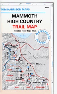
Tom Harrison Maps: Mammoth Trail Map, Ansel Adams Wilderness, Eastern Sierra Nevada; Areas include: Hiking Minarets, June Lake, Lee Vining, Ritter Range, Convict Lake, Devils Postpile, Mono Craters, Mono Lake Volcanic, Thousand Island Lake, Mammoth Lakes, Agnew Meadows.

Recreation Map; Durable, waterproof plastic map; Folded. Map Scale: 63K; ISBN# 9781877689567

avenza mapsdownload digital version of this map –
Mammoth High Country Map
Mammoth High Country Map

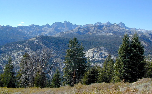
The Minarets @ Mammoth

Mammoth Mountain is a lava dome complex in Mono County, California. It lies in the southwestern corner of the Long Valley Caldera and consists of about 12 rhyodacite and dacite overlapping domes. These domes formed in a long series of eruptions from 110,000 to 57,000 years ago, building a volcano that reaches 11,059 feet in elevation. During this time, massive dacite eruptions occurred roughly every 5000 years. The volcano is still active with minor eruptions, the largest of which was a minor steam eruption 700 years ago.

Mammoth Mountain also lies on the south end of the Mono-Inyo chain of volcanic craters. The magma source for Mammoth Mountain is distinct from those of both the Long Valley Caldera and the Inyo Craters. Mammoth Mountain is composed primarily of dacite and rhyolite, part of which has been altered by hydrothermal activity from fumaroles (steam vents).

nearby destinations:

see also –
Ansel Adams Wilderness Map
Devils Postpile Trail Map
Mammoth Lakes Map NatGeo
Mono Divide Highcountry Map
Mammoth High Country Map

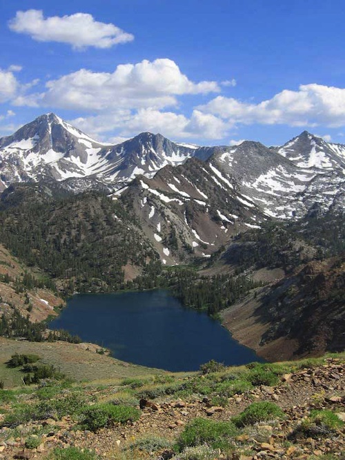
Lake Genevieve

Mammoth High Country Map

PREVIOUS EDITION MAP

Mammoth High Country Map

OLDER MAMMOTH MAP


Palisades Trail Map

Palisades Trail Map
by Tom Harrison Maps

Eastern Sierra / Palisade Glacier / Norman Clyde Glacier

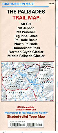
Tom Harrison Map: The Palisades Trail Map, Bishop Pass Area, Backpacking High Sierra; Areas include: Mount Sill, Mount Jepson, Mount Winchell, Big Pine Lakes, Palisades Basin, North Palisade, Thunderbolt Peak, Norman Clyde Glacier, Middle Palisade Glacier, Inyo National Forest, Inyo High Country, Sierra High Country; Hiking Maps Backpacking Trip, California Sierra Camping.

Palisades Trail Map

OLDER EDITION

Durable, Shaded-relief topographic map printed on waterproof plastic; GPS Compatible – Complete UTM Grid. Folded. Map Scale: 31.7K; ISBN# 9781877689970

The Palisades Trail Map covers the Big Creek area of the Eastern Sierra on the boundary between Kings Canyon National Park and Inyo National Forest. Map includes the Palisades and Norman Clyde Glaciers, Bishop and Mather Pass, and the Big Pine Lakes.

  • Big Pine Lakes
  • Mount Sill
  • Mount Jepson
  • Mount Winchell
  • North Palisade
  • Norman Clyde Glacier
  • Mid Palisade Glacier
  • Thunderbolt Peak

avenza mapsdownload digital version of this map –
The Palisades Map

Palisades Trail Map

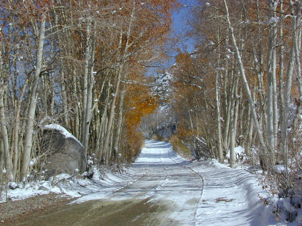
Autumn Colors meet SNOW in early October

nearby towns:
Big Pine, CA
Bishop, CA

The Palisade Glacier is a glacier located on the northeast side of the Palisades within the John Muir Wilderness. The glacier descends from the flanks of four mountain peaks over 14,000′ in elevation of which North Palisade 14,242′ is third highest peak in the Sierra Nevada Range.

The cirque containing the Palisade Glacier has a history of thousands of years of glaciation. The modern glacier attained its last maximum extent during the Little Ice Age, between 250 and 170 years ago – a period also known as the Matthes glaciation in the Sierra Nevada.

The glacier is under a mile long and half mile wide. It is located between 13,400 and 12,000; elevation and moves at a rate of 20 feet per year, although it is also retreating. Palisade Glacier is one of the few glaciers in California that terminates in a proglacial lake dammed by its former moraine and the lake is turquoise colored from the glacial powder suspended in the water. The Big Pine Lakes below the glacier are also the same color.

see also –

Inyo National Forest Map
Inyo Forest Topo Atlas
Bishop Pass Map
Mount Whiney Maps

Rock Creek OHV Map

OUTTA PRINT
[NO LONGER AVAILABLE]

Gold Country Trails
El Dorado National Forest
Rock Creek OHV Map

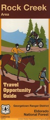
Older Rock Creek off-road map had a new name and was split into 2 maps. Gold Country Foothills OHV. This forested area is just west of the 4×4 Rubicon Trail and very popular among the off roaders and equestrian riders.

Eldorado Travel Opportunity Guide (North)
Georgetown @ Rubicon

Eldorado Travel Opportunity Guide (South)
Amador & Placerville

rock creek OHV

OLD VERSION

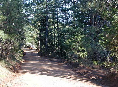
Rock Creek OHV inside El Dorado National Forest, Georgetown Ranger District. Multi-use recreation area near the central Sierra Nevada Gold Country. Darlington Ridge Mountains, Quintette, Bear Creek Road, Bald Mountain Canyon, Mace Mill, Dutch Canyon, One-Eye Creek Trail, Wentworth Springs, Balderson Corral, Dru Barner Campground. This RockCreek is on the western side of the Sierra Nevada range, not to be confused with the Eastern Sierra Rock Creek, N of Bishop, CA

USDA, waterproof, topographic map with hiking, equestrian and off road trails. Dirt bikes, quads, 4×4 rigs. OHV routes, creeks, rivers, trailheads, back roads and one campground. Georgetown hikes. hiking. Waterproof plastic. Scale 1:29,816 / GPS shown in degree minute format.

nearby towns –

You may need to really search to find a 4WD map for this area.

Below is a good overview map, a topo map, a link to local books, for the Gold Country region of California

Gold Country Books

Gold Country 2000