Mount Lassen Atlas
Lassen National Forest Topo Map

Atlas includes both the Lassen Volcanic National Park & the surrounding Lassen National Forest.
Lassen Peak, Lake Almanor, Buttes Meadows, Westwood, Susanville, Eagle Lake, Hat Creek, Burney Mountain, Lassen National Park
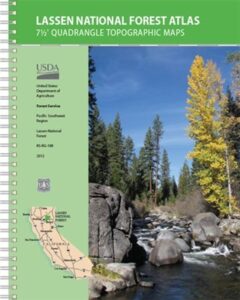
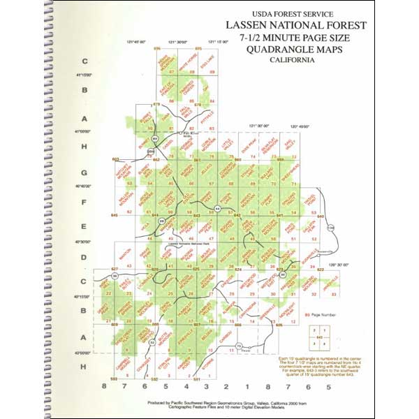
The LASSEN atlas, is a spiral bound book – a collection of all the quads. (7.5 minute topographical maps, of all of Lassen National Forest, plus the Lassen Volcanic National Park) This book map has detailed topo lines, mountain peaks, streams, lakes, hiking trails & back roads. Perfect for all kinds of recreational needs. USDA printed in 2012. ISBN# 9781593519216
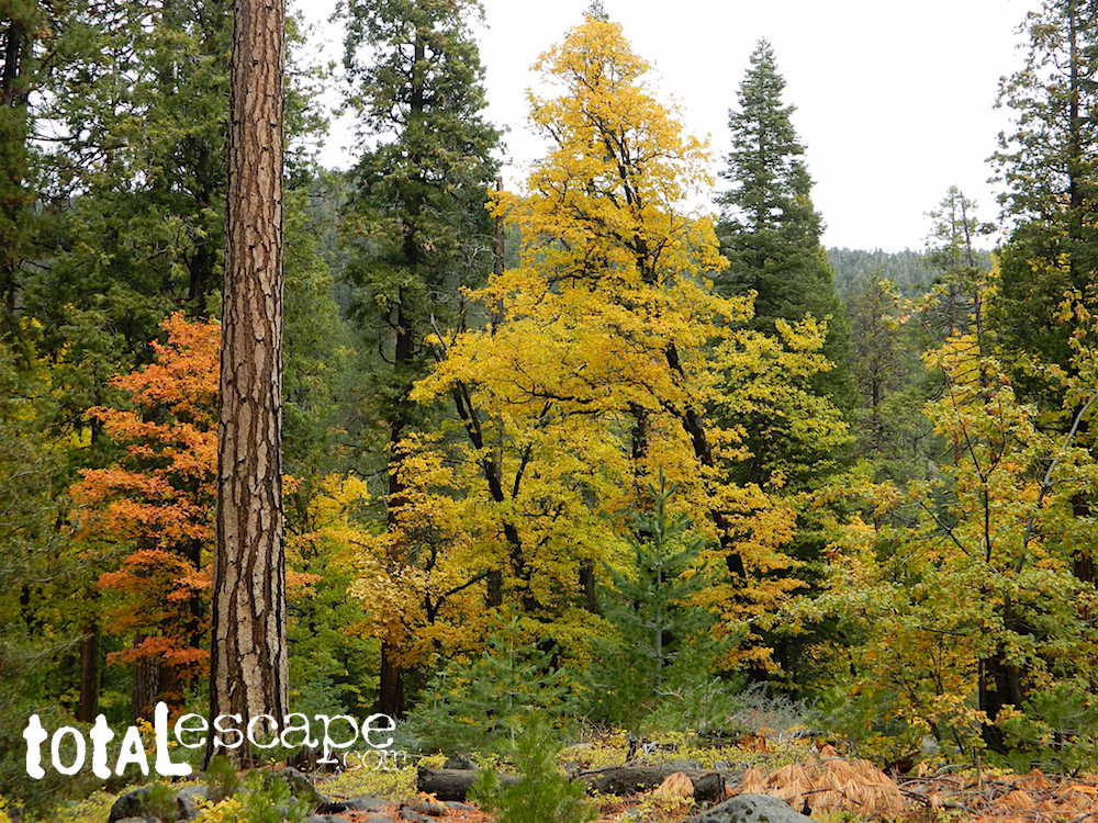
Lassen Road #17 in Autumn
Lassen National Forest
Lassen National Park
Lassen National Forest QUADS:
from south to north –
- Storrie
- Kimshew Point
- Stirling City
- Cohasset
- Campbell Mound
- Deer Creek Flat
- Devils Parade Ground
- Butte Meadows
- Jonesville
- Belden
- Caribou
- Moonlight Peak
- Greenville
- Canyondam
- Almanor
- Humbug Valley
- Humboldt Peak
- Onion Butte
- Barkley Mountain

- Panther Springs
- Dewitt Peak
- Inskip Hill
- Finley Butte
- Lyonsville
- Mineral
- Childs Meadow
- Stover Mountain
- Chester
- Westwood West
- Westwood East
- Fredonyer Pass
- Diamond Mountain
- Janesville
- Susanville
- Roop Mountain
- Pegleg Mountain
- Swain Mountain
- Red Cinder
- Mount Harkness
- Reading Peak

- Lassen Peak
- Grays Peak
- Manton
- Viola
- Manzanita Lake
- West Prospect Peak
- Prospect Peak
- Bogard Buttes
- Pine Creek Valley
- Antelope Mountain
- Pikes Point
- Gallatin Peak
- Troxel Point
- Spalding Tract
- Champs Flat
- Harvey Mountain
- Poisin Lake
- Swains Hole
- Old Station
- Thousand Lakes Valley
- Jacks Backbone

- Miller Mountain
- Hatchet Mountain Pass
- Burney Mountain West
- Burney Mountain East
- Murken Bench
- Jellico
- Corders Reservoir
- Straylor Lake
- Bullard Lake
- Sheepshead
- Said Valley
- Silva Flat Reservoir
- Dixie Peak
- Little Valley

- Coble Mountain
- Hogback Ridge
- Cassel
- Burney
- Burney Falls
- Dana
- Fall River Mills
- Pittville
- Day
- Timbered Crater
- East of Ponderosa
- Indian Springs Mountain
- White Horse
- Egg Lake

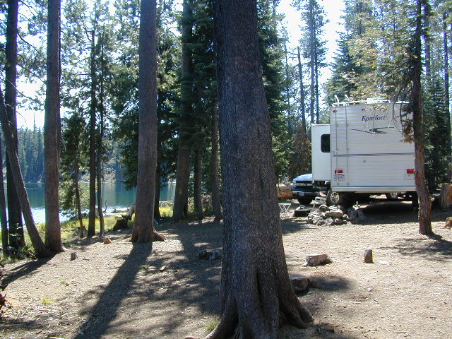
Lassen Lakes – for camping, fishing, hiking and kayaking
see also –
Lassen National Forest Map USDA
Lassen Park Maps
Lassen Books
Lassen Camping
Lassen Lakes
Lassen Forest Roads
Old version of Lassen Forest Atlas

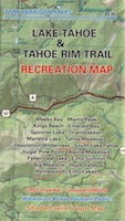
 There are 10 official trailheads that access the eight trail segments which form a continuous loop in the mountains above the lake. The segments range from 12.2 to 32.5 miles in length. Unofficial entry points also provide a means of getting onto the trails. Trail conditions are best during the usually snow-free months of July through October, and the height of the wildflower bloom is usually July and August.
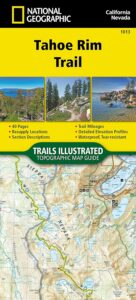


