4×4 Guide Tahoe NF

4×4 Tahoe Trail Maps
Off Roading Routes

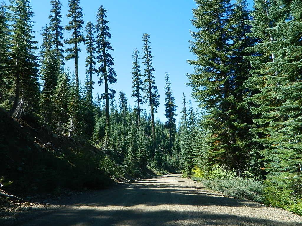
4x4 maps4×4 Tahoe Trail Maps: Explore the 4WD (four wheel drive) dirt and gravel roads inside the Lake Tahoe region. Please follow the links listed at the bottom of this page for more Tahoe Maps.

Camping Lake Map

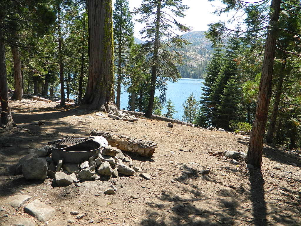
Sawmill Lake, Tahoe NF – N of Donner Pass I-80


4Wheeler’s Guide to Trails of the Tahoe National Forest, CA; Lake Tahoe to the North Yuba River

4Wheeler’s Guide to the Rubicon Trail

2024: BOTH THESE MAPS ABOVE NOW OUTTA PRINT

driftwood

California off roading with 4×4 Tahoe Trail Maps. Topographical hard copy maps show contour lines, routes, trailheads, campgrounds, alpine lakes, mountain peaks, wilderness boundaries.  Maps for use by nomad campers, mountain bikers, dirt bikers, jeeps, SUVs, ATVs, and all off roading rigs. Overland camping options in the high elevation Sierra Nevada mountains.

see also –dirt bikes trail map

Lake Tahoe Basin Topo Atlas

Tahoe National Forest Map USDA

Lake Tahoe Basin – Recreation @ Lake Tahoe

Tahoe Rim Trail Topo Map by Tom Harrison

USDA Lakes Basin, Sierra Buttes Map

bowman cliff shoreline

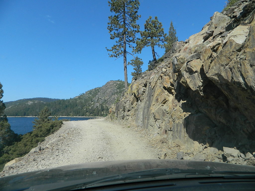
Bowman Lake, narrow cliff shoreline

Tahoe Forest Maps
by National Geographic

Tahoe East – Sierra Buttes & Donner Passfishing maps tahoe

Tahoe West – Yuba River & American River

sierra buttes maps

Back Roads @ N Yuba, Lakes Basin

Lakes Basin Recreation Area: Sierra Buttes
GOLD LAKE HWY. North Sierra Nevada – where granite spires touch the sky and river canyons run deep. Alpine lakes are covered in snow half the year w/ Gold Lake being the largest.

Totally worth a weekend visit! Spending a full week here is ideal. Summer destination for cabins, camping, hiking, fishing, waterfalls, and even off road routes; Winter offers snow recreation: cross country ski, snow shoe trails, and snow mobile access.
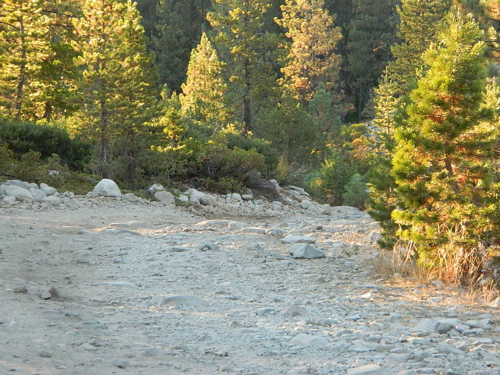
forest roads map tahoe

Tire Tools: roadside assistance
doesn’t do dirt roads

4x4 Patch Kit ARB

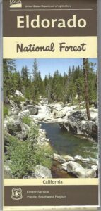
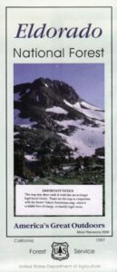
El Dorado National Forest Map

El Dorado
National Forest Map

Eldorado National Forest Map / El Dorado Camping
Eldorado National Forest Dispersed Camping Map

El Dorado NF

Eldorado National Forest Map
USGS map California: Northern Sierra, Gold Country, Mokelumne Wilderness, South Lake Tahoe.PAPER MAP. Ranger Map – NFS issued map. GPS: Longitude & Latitude; Rivers, Creeks, Peaks, Elevations, 4WD & every dirt Back Road, Hot Springs, Equestrian Areas, all Campgrounds, Hiking Trails & Backpacking Trailheads.camp map

Areas include: Northern Sierra, Gold Country, Mokelumne Wilderness, Desolation Wilderness, South Lake Tahoe, Lower Bear River Reservoir, Silver Lake, Caples Lake, Lake Aloha, Union Valley Reservoir, Cosumnes River, American River, Jenkinson Lake, Crystal Basin and Rubicon Lake and Rubicon Trail. Quality USDA maps created for the National Forest Service. Map Size: 27″x 36″ overall / 4″x9″ folded; Printed on paper un 2015. ISBN# 9781593514921

Gold Country Mountains, California

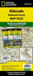
NatGeo is now making a map package with 3 colorful, waterproof maps for the El Dorado forest region. What a deal!!

eldorado map pak

El Dorado Forest

Sierra Rivers Map

California: Sierra Rivers

EldoradoNF

OLD PAPER MAP

see also –

Mokelumne Wilderness Map
Desolation Wilderness Maps
Stanislaus National Forest Map
Toiyabe National Forest Maps
Tahoe Basin Map
Tahoe National Forest Map
Tahoe Rim Trail Map
Lake Tahoe Topo Atlas
4×4 Trail Tahoe Map

Eldorado National Forest Map

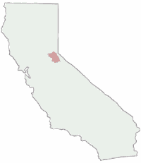
Central Sierra Mountains / Gold Country Foothills : El Dorado National Forest

hikers mapWilderness areas near El Dorado Forest:
Mokelumne Wilderness
Desolation Wilderness

Granite Chief Wilderness
Red Lake Wildlife Area

nearby towns:

driftwood

Eldorado National Forest Camping Maps

grizzly flat forest


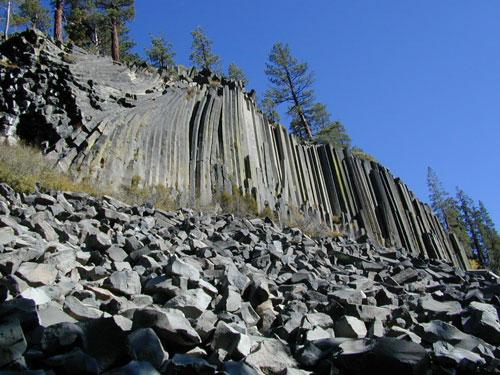
Devils Postpile Trail Map

minarets

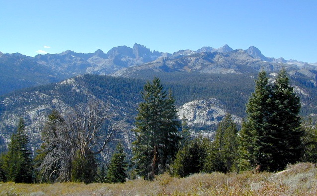
Minarets @ Mammoth

Devils Postpile Map
Tom Harrison

devils postpile trail map
Devils Postpile National Monument
Minarets @ Mammoth Lakes
June Lake Loop
Eastern Sierra Mountains

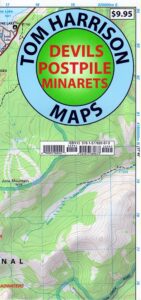
Tom Harrison Trail Map: Devils Postpile CA; Mammoth Lakes Area, Eastern Sierra Hikes; Cool California Geology, Camping Sierra Nevada mountains. Areas Include: Gem Lake, Minarets Hiking Trails, Rainbow Falls, Garnet Lake, Ritter Range, June Mountain, Mammoth Minarets, Agnew Meadows, Thousand Island Lake; Mammoth Lakes, Mammoth Hiking Backpacking Mammoth Lakes. Mammoth Trail Maps, Tom Harrison Topo Map Mammoth Hikes, Mammoth Mountains, Topo, Waterproof, Topographic Maps.

fishing mapDurable, waterproof plastic map; Folded. Map Scale: 40K; Tom Harrison brand ISBN# 9781877689673

avenza mapsdownload digital version of this map –
Devils Postpile Trail Map

Devils Postpile Trail Map

Post Piles @ Mammoth

Devils Postpile Map

PREVIOUS EDITION MAP

hike mammoth

the details

Inyo National Forest
Sierra National Forest
Ansel Adams Wilderness

old maps

REAL OLD MAP

nearby towns –hikers map

see also –
Mammoth Highcountry Trail Map
Mammoth Lakes Map NatGeo
Mono Divide Highcountry Map

Ansel Adams Topo Map

Devils Postpile Trail Map

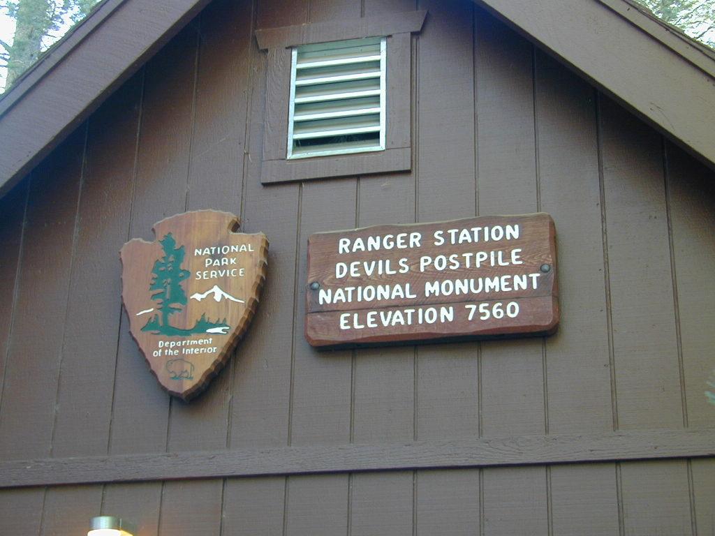
NPS Ranger Station


Devils Postpile Trail Map

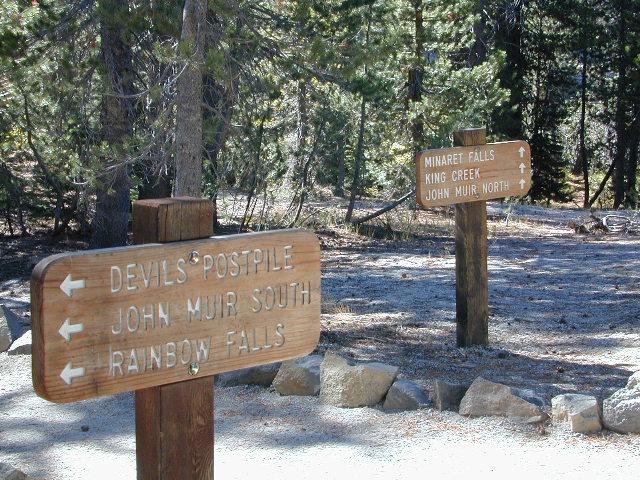
Trailheads @ Devils Post Pile National Monument

Inyo Forest Topo Atlas

High Sierra Topo Map
Eastern Sierra Nevada, California

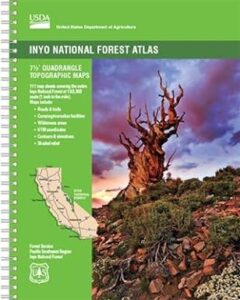
Inyo National Forest Atlas

Inyo topo atlas

fishing mapThe INYO atlas, is a spiral bound book – a collection of all the quads. (7.5 minute topographical maps, of all of Inyo National Forest) Both sides of US Highway 395! From Olancha to Yosemite, Bodie ghost town to Darwin near Death Valley. This book map has detailed topo lines, mountain peaks, streams, lakes, hot springs, hiking trails & back roads. Perfect for all kinds of recreational needs. 117 pages. Printed in 2014. ISBN# 9781628114058

south_lake

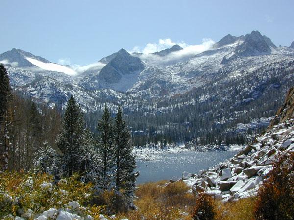
South Lake near Bishop CA

see also –

Inyo National Forest Map
Mount Whitney Maps
Death Valley Maps
Bishop Pass Map
Palisades Trail Map
Mammoth Highcountry Map
Mammoth Mono Trail Map
Ansel Adams Wilderness Map
John Muir Wilderness Map
Fishing Maps for California

regional towns:inyo topo map

Inyo National Forest NFS

cottonwoodcampsite
Cottonwood Lakes and Horseshoe Meadow, an alternate hiking approach to Mount Whitney

hikers map

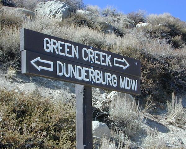
dunderberg

Inyo National Forest QUADS:
from south to northhorse trail maps

Inyo back roads Maps

Inyo back roads, 4×4 routes and hiking trailheads

Inyo National Forest Topo Maps, Topographical Inyo Map, Eastern Sierra, Olancha Peak, Lone Pine, Alabama Hills, Whitney, Mammoth, June Lake, Rock Creek, Lee Vining, Bishop, Sabrina, Palisades Glacier, Onion Valley, Independence, Coyote Flat Lake

Inyo Forest Topo Maps