Mount Whitney Hiking Maps

Mount Whitney Hiking MapsThe tallest mountain peak in the lower 48 means that this region is a super popular destination with avid hikers, mountaineers and backpackers alike. Physical fitness must be top priority in training for this ultimate bucket list choice.

Usually only accessible about half the year, due to snow (NOV-MAY) and permits are required. To obtain a wilderness hiking permit, you must get chosen from a lottery months in advance. No joke!

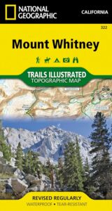
Mount Whitney Map

Mt Whitney Topo
by NatGeo Trails Illustrated

Mount Whitney High Country Map
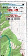
Mount Whitney Zone Map

both Topographic Maps by Tom Harrison (listed below)
Mount Whitney Hiking Maps

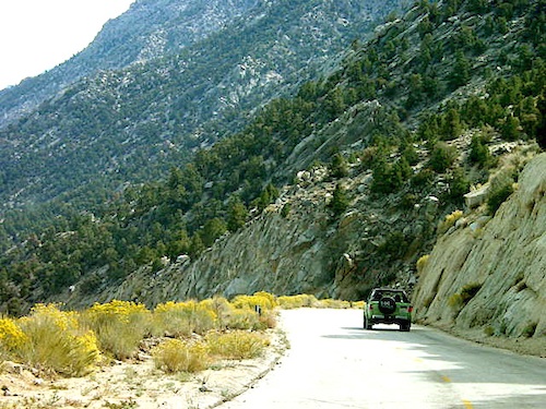
Whitney Portal Road

Mount Whitney Zone
Tom Harrison
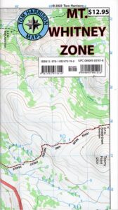
Whitney Zone Map

Mount Whitney Hiking Maps

OLDER VERSION

Mount Whitney Map, Whitney Portal. Topo Trail. Mt Whitney maps. Tom Harrison Trail Map: Mount Whitney Zone Trail Map, Lone Pine, CA; Areas include: Whitney Portal, Crabtree, Cottonwood Lakes, Rock Creek. Whitney Portal Trailheads, Outpost Camp, Trail Camp, Whitney Summit, Mountaineer’s Route, High Sierra Trail, Crescent Meadow, and the John Muir Trail Junction.

Durable, waterproof plastic map; Folded. Map Scale: 31.7K; ISBN# 9781877689697

digital mapsdownload digital version of this map
Mount Whitney Zone Map
Mount Whitney Hiking Maps

hiker

Mount Whitney Hiking Maps

Mount Whitney High Country Map
Tom Harrison
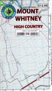
Whitney High Country

Mount Whitney High Country Map, Whitney trail map, Topo trails. Tom Harrison Trail Map: Mount Whitney High Country, with Lone Pine California. Pear Lake, Lodgepole, Mineral King, Mt. Whitney Peak, Kern Canyon, Ash Mountain, Whitney Portal, Little Five Lakes, Bearpaw Meadow, Triple Divide Peak, Cottonwoods Lakes, Horseshoe Meadow. Eastern Sierra, High Sierra Backpacking, Mount Whitney Map, Hike, Inyo National Forest, Eastern Sierra, Mount Whitney Map by Tom Harrison, Hike, Inyo National Forest, Eastern Sierra Hikes, Mt Whitney California Topo, Waterproof, Topographic Maps California, Sierra Whitney Hike, High Country Trails, California Sierra Mountains Durable, waterproof plastic map; Folded. Map Scale: 63K; ISBN# 9781877689512

avenza mapsdownload digital version of this map
Mt. Whitney High Country Map
WhitneyFalls

additional
MT. WHITNEY MAPS

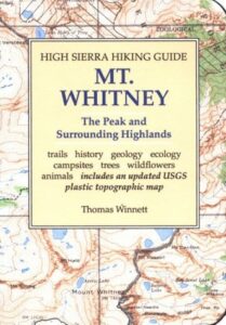
Mount Whitney Booklet

Mount Whitney to Bishop Trail Map

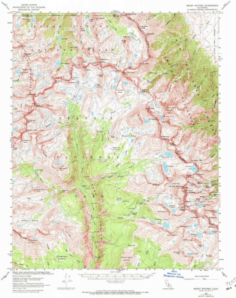
Whitney Topo Map

see also –
NatGeo Mount Whitney Map
John Muir Wilderness Maps

JMT: John Muir Trail Map

High Sierra Trail

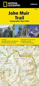
hikerThe John Muir Trail is a long-distance hiking trail in the Sierra Nevada mountain range of California, passing through Yosemite, Kings Canyon and Sequoia National Parks.

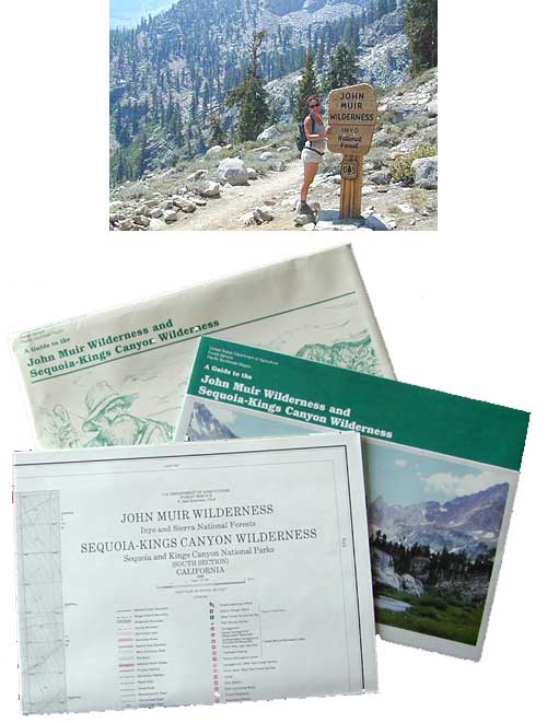
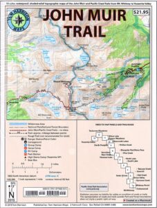
USDA makes paper maps for John Muir Wilderness w/ Kings Canyon, and Tom Harrison offers the waterproof John Muir Map Pack. National Geographic also makes a topo map for the John Muir Trail.

John Muir Wilderness

Onion Valley Campground

Ansel Adams Wilderness

driftwood

John Muir Maps USDA
John Muir Wilderness with Sequoia Kings Canyon Wilderness

johnmuirmap

U.S. Forest Service – NFS. Old school maps – two large paper sheets. Available at Inyo National Forest Ranger Stations, USGS website or the Eastern Sierra Interagency Visitors Center on US Highway 395.

Eastern Sierra Mountains
Highest Sierra Peaks

Perfect for a day hike reference or extended backpacking adventures. Map Scale = 1″ to mile; Printed on paper w/ large storage envelope. Limited availability.

gilbertlake

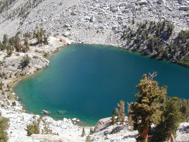
Gilbert Lake, above Onion Valley, Eastern Sierra Independence, CA

fish

driftwood

John Muir Wilderness Map Set
Tom Harrison Maps

Tom Harrison John Muir Pack
John Muir Trail Maps by Tom Harrison, High Sierra Backpacking Maps, Highcountry Trail Map. Eastern Sierra Mountains inside Inyo National Forest

Mount Whitney, Lone Pine, Independence, Big Pine, Bishop, Mammoth Lakes – Eastern California.

John Muir Wilderness Map Set of 13 individual maps. Durable, waterproof plastic map; Smaller maps, not folded. Map Scale: 63K; ISBN# 9781877689345

download digital versions of this map – avenza maps
John Muir Trail Topo Map Set

or the most popular individual maps :
John Muir Trail Map #4
John Muir Trail Map #5
John Muir Trail Map #6
John Muir Trail Map #7
John Muir Trail Map #8
John Muir Trail Map #9
John Muir Trail Map #10
John Muir Trail Map #11
John Muir Trail Map #15

Heart Lake

horseback

National Geographic makes a decent John Muir Trail Map too!
NatGeo John Muir

nearby towns:

lilpothole

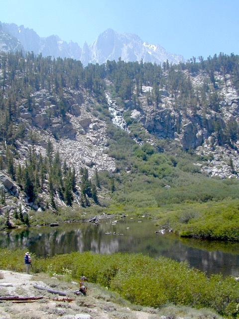
Little Pot Hole Lake, Kearsarge Pass Hike

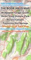
Bodie Hills Map

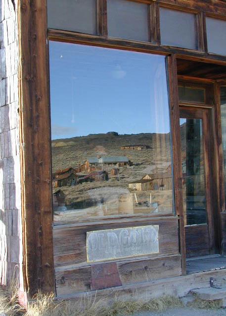
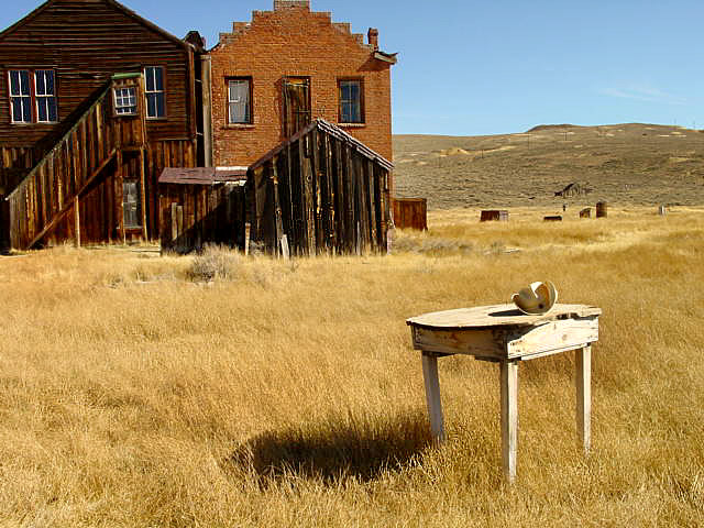
Bodie Ghost Town California

Bodie Hills MapBodie State Historic Park
Aurora Canyon

Eastern Sierra Nevada area near Bridgeport, California

HIGH DESERT –
8375′ elevation

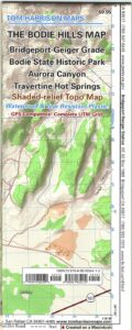
This Bodie map is authentic. Created and produced by none other than Tom Harrison, a legend in the field California cartography. No other map creator makes a detailed topographic map of Bodie Ghost Town, State Park and desert region.

Bodie Hills Map

Bodie Ghost Town Map

Tom Harrison Trail Map: Bodie Ghost Town CA, Bodie State Historic Park, State Park Bodie, BLM Bodie Hills, Back Roads Bridgeport California, Mining Desert High Country Map, 4×4 roads, Aurora Canyon, Aurora Nevada, Bodie Hiking Map, Backpacking Maps. Travertine Hot Springs, Geiger Grade, Bodie State Park, NV Desert Mountains, Bridgeport Hiking Maps. Durable, waterproof plastic map; Folded. Map Scale: 63K; ISBN#9780981834412

Bodie Map

OLD VERSION

avenza mapsdownload digital version of this map –
Bodie Hills Topo Map

Bodie Hills Map

Bodie Ghost Town is the most popular & best preserved historic mining camp in California. Winter months are cold, windy, and often snowy. Late summers can get hot. Plan accordingly.

No services, no pavement, no big trees. Very remote location. Abundant free, boondocking camps in this high desert region, so make sure to get a camp fire permit from the local ranger station in Lee Vining or Bridgeport, CA

Bodie Hills Map

Photo by Morris Neer

nearby destinations:

Bodie Hills Map

Photo by Morris Neer

see also – 

Toiyabe National Forest Map
Hoover Wilderness Trail Map


Ansel Adams Wilderness Map

Ansel Adams Map USDA
USDA Ansel Adams

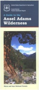
Ansel Adams Wilderness, part of Inyo NF and Sierra NF

This High Sierra terrain spans some of the most majestic areas of the Sierra Nevada – the youngest mountain range in the U.S. This wilderness is bordered by National Parks, National Forests, and other Wilderness Areas – all the way around it. Kaiser Wilderness and Lake Edison inside Sierra NF on the west, Yosemite National Park on the north, Inyo NF on the east side, and John Muir Wilderness on the south end. Wow!

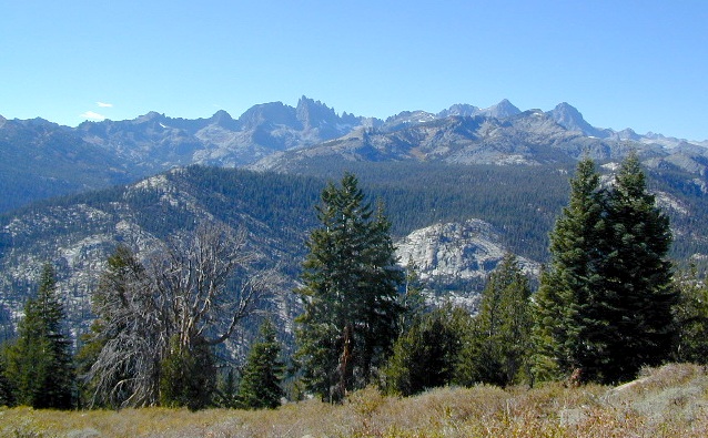
This 230,300 acre, high elevation wilderness was formerly the Minarets Wilderness, renamed in 1984 to honor the pioneering landscape photographer, Ansel Adams. Known for spectacular alpine scenery, elevations range from 7,000 to 14,000 feet. Rugged granite peaks and passes, with alpine lakes, includes high country east of the Sierra crest. Pacific Crest Trail and John Muir Trail cross this High Sierra Wilderness region.

This USDA map is also available at Ranger Stations.

Perfect for packing and hiking references, fishing lakes, creeks, high altitude camp sites, horse packing routes, or extended backpacking adventures. Map Scale = 1″ to mile; Printed on waterproof plastic paper. Updated in 2011. ISBN# 9781593515188

minarets

see also –

Ansel Adams Trail Map

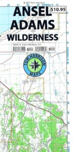
Ansel Adams Wilderness Trail Map
by Tom Harrison Topo Maps

Eastern Sierra Trail Map

OLDER EDITION

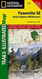
NatGeo Ansel Adams
Map #309
Yosemite SE

NatGeo Map

Ansel Adams Trailhead locations include –

Eastern Sierra: Lee Vining, June Lake, Mammoth Lakes, CA

Western Sierra: Edison Lake (pictured below), Huntington Lake, Shaver Lake, Clover Meadow, Mammoth Pool Reservoir, NorthFork via Bass Lake and Yosemite National Park.

Edison Lake