Los Padres National Forest Map: North
NFS – USDA – U.S. Forest Service
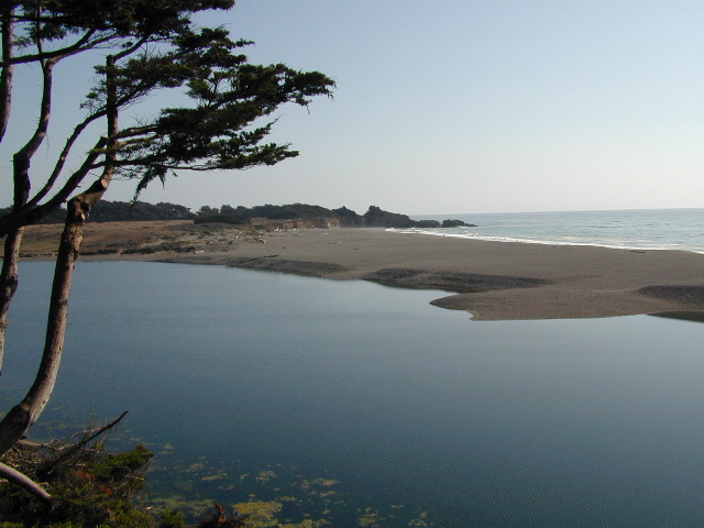
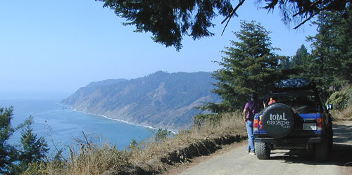
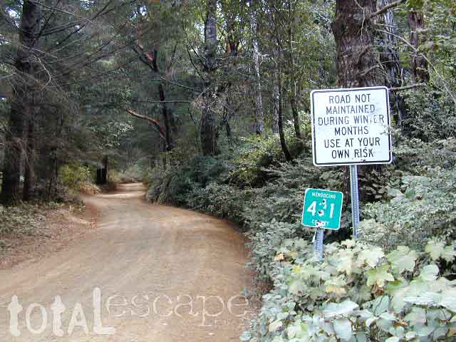
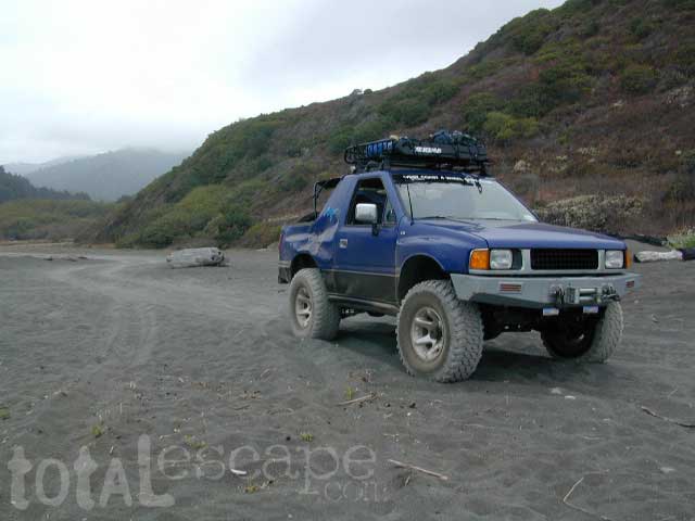
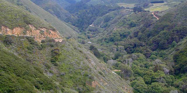
Monterey District, Big Sur Coast
Big Sur Map, Central Coast Camping, Los Padres Forest
Los Padres Forest
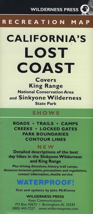
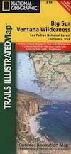
Los Padres National Forest Map: North – Monterey /Santa Lucia District Quality USDA maps created for the National Forest Service. Central Coast California, San Louis Obispo, Coastal Range, Big Sur Coast, Ventana Wilderness. Waterproof Map: Ranger – NFS issued map. GPS: Longitude & Latitude; Rivers, Creeks, Peaks, Elevations, 4WD & every dirt BackRoad, Hot Springs, Equestrian Areas, all Campgrounds, Hiking Trails & BackPacking Trailheads.
Areas include: Central Coast California, Monterey County, San Louis Obispo County, Coastal Range, Coast Wine Country, Big Sur Coast, Silver Peak Wilderness, Ventana Wilderness, Lucia Wilderness, Garcia Wilderness, San Rafeal Wilderness, San Louis Obispo, Cuyama, Plaskett Creek, Fort Hunter Liggett, Prewitt Ridge, Nacimiento, Figueroa Mountain Recreation Area Usually only found at Ranger Stations – Hard to find maps. Size: 36″x 40″ overall / 4″x9″ folded; Map scale = 1:126,720. Printed on plastic map paper. ISBN# 9781593514228
Big Sur Coast and San Luis Obispo – Central Coast Camping: Los Padres National Forest
nearby towns: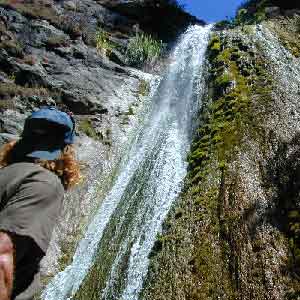
- ARROYO GRANDE
- ATASCADERO
- BIG SUR
- CAMBRIA
- CAYUCOS
- GORDA
- LOS ALAMOS
- LOS OLIVOS
- LUCIA
- KING CITY
- SAN LUIS OBISPO
- SAN SIMEON
- SANTA MARIA
- SOLVANG
Alternate Map for Big Sur Coast
see also –
Los Padres Map East
Los Padres Map West
Los Padres Map South
Big Sur Books
Big Sur Maps
Ventana Wilderness Map
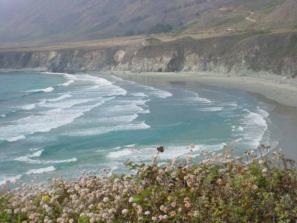
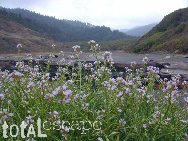
Sand Dollar Cove (photo by Vimlesh)