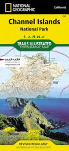
Channel Islands Map
NatGeo #252
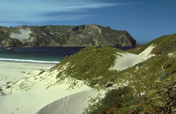
Several islands exist off the coast of California. Catalina Island is by far the most popular, but not included on this map. Some refer to these as the Santa Barbara Islands, since they are out near the Santa Barbara Channel.
Many islands are inaccessible, but the Channel Islands are indeed a National Park – reachable only by boat or by air – from the Ventura coastline. Advanced reservations will be needed to book a boat trip or a flight to the islands.
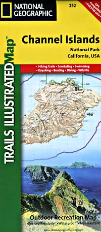
 Trails Illustrated Map from National Geographic. Channel Islands National Park Map #252. Santa Barbara coast channel islands, California. Diving, Snorkeling, Swimming Beaches, Kayaking, Boating, Camping & Hiking Map.
Very detailed & colorful. Waterproof Plastic Map; Tear Resistant. GPS data. Published in 2019. ISBN# 9781566954105
- backpack
- camp
- dive
- fish
- hike
- kayak
- swim
- snorkle
PREVIOUS VERSION
Located off the California shore, the Channel Islands are home to many unique species of flora and fauna. National Geographic’s Trails Illustrated Map covers (with unparalleled detail) the 5 islands that encompass the park, including The Nature Conservancy area of Santa Cruz Island and the State Marine Reserve Areas that surround the islands. Provides background information of the park and of each individual island along with its regulations and guidelines. In addition, information regarding transportation to the islands is given, as well as land (hiking), water (swimming, snorkeling and diving) and boating / kayaking safety warnings.
Each of the islands is shown with a trail guide, listing trail start and destination points, distances and difficulty. Trails are mapped with mileage markers and coded according to trail type. Island roads, which can also be used use for hiking, are shown as well. An inset map of the Scorpion Area provides extra detail of this popular area. The map includes contour lines, elevations, labeled peaks, selected waypoints, water features and areas of wooded cover. Moreover, many recreation features and facilities are pinpointed, such as ranger stations, campgrounds, restroom, picnic areas and historic buildings.
Other features on this map include: Anacapa Passage, Channel Islands National Park, Encino Reservoir, Franklin Canyon Reservoir, Laguna Point, Point Dume, San Fernando Valley, San Miguel Island, San Miguel Passage, Santa Barbara Island, Santa Cruz Channel, Santa Cruz Island, Santa Monica Mountains, Santa Rosa Island, Sepulveda Dam, Stone Canyon Reservoir.
see also –
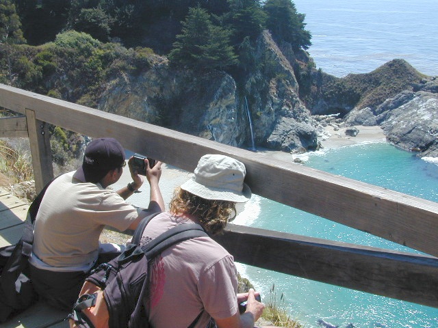
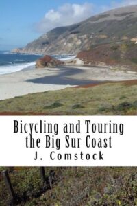
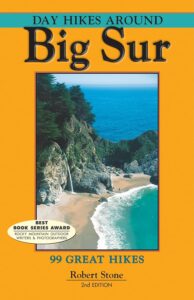
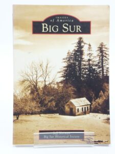
Big Sur Maps
Los Padres West by NatGeo