California Benchmark Atlas

Benchmark California Map

California Benchmark Atlas

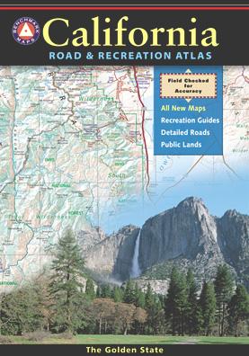
The best selling state atlas for the golden state – The California Road and Recreation Atlas

Benchmark California Atlas
California Driving Map. Topographic features, back roads map.

Best Overall Map: California Road & Recreation Atlas. This map books is the ideal state-wide map for any outdoor enthusiast. Excellent for exploring all of the golden state from the deserts of Southern California to the rivers of Northern California.

The Benchmark CA Atlas highlights include – all lakes, trailheads, Wilderness Areas, Campgrounds, National Forests, State Parks, National Parks, outdoor recreation destinations, plus extensive back roads (dirt & paved). This full color beauty is one of the most successful California map products of our time!

Recent editions have improvements: ground-cover detail at a very high-resolution.(forested, cultivated, marshland, desert, or scrub land). Extensively revised the 14-page Metro Map section; Complete Recreation Guide, page-to-page overlap and legendary accuracy. Printed on paper. 11th edition (2021) ISBN# 9781734315035

avenzabar

download this atlas w/ Avenza Maps

driftwood

California Benchmark Atlas


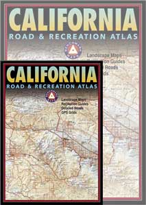
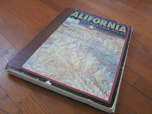
However, featured above is the current edition being sold but DanaMite actually prefers the look of the less-digitized version – the popular 2nd edition (printed in 2000), shown below. Easier to read maps, less text, less information overall, less busy looking.
California Benchmark Atlas

California Benchmark Atlas

Well Used, Well Loved. 2000, Second Edition

US 395 map

Benchmark US Hwy 395 Map

camp maps

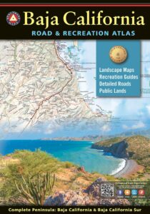
Baja California Atlas
by Benchmark Maps

baja benchmark atlas

see also –
Benchmark Atlases for other states
Timber Trail Route

Timber Trail Route, Los Padres NF
 

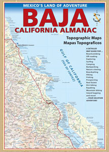
Baja Almanac

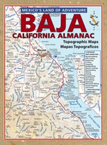
Baja California Almanac Map

The Biggest & Best Baja California Topo Atlas

Baja Almanac Map

baja almanac 2021This map covers both top and bottom of the peninsula: Baja Norte (NORTH) & Baja Sur (SOUTH), BC Mexico

Baja Almanac PDF?

2021 UPDATE:
available for free, in a PDF download from
baja-almanac.com


NOTE: every so often these printed map books can be found on eBay or Amazon,or elsewhere online usually commanding a high for price tag for a “used copy”

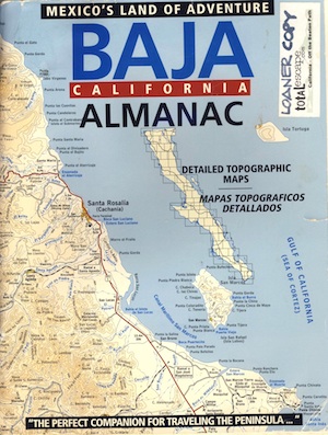
Baja Almanac 2003

Baja Almanac 2003

Baja Almanac – by Landon S. Crumpton

Mexico Maps – Both Northern & Southern Baja California in one atlas. The Best Maps of Baja, period! Excellent resource while traveling in Mexico. If you plan on driving deep into Baja and really exploring back roads, hidden coves, surf spots, deserts, petroglyphs… this is the map to have.

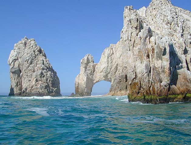
Lands End

baja california almanac

2009 edition (large format)

This version was the largest format ever printed on this map, detailing every inch of Mexico’s Baja California peninsula. Thinner and larger means less page flipping. With over 10,000 entries, the Baja Almanac lets you pinpoint any location in Baja, down to the most remote ranch or campsite. Published 2009. ISBN# 9780965866347

  • Larger Size: 10.75″ wide x 15.25″ tall
  • Printed on 70lb Paper with Matte Finish, a crisper, more defined presentation
  • Adjoining Map Overlap, each map displays an overlapping segment of adjoining map pages
  • Updated Land Routes & Cultural Features
  • Complete Indexes, Mileage Chart and Primary Route Distance in both miles & kilometers
baja maps

OLDER VERSION

baja norte

REAL OLD VERSION

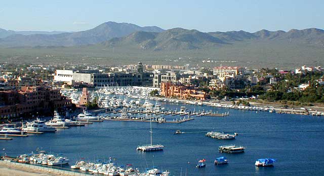
CSL Marina

CABO SAN LUCAS MARINA

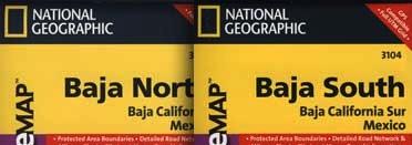
NatGeo makes waterproof hard-copy maps of the the Baja Peninsula.

see –bajamapsnatgeo
National Geographic Baja Maps


baja maps


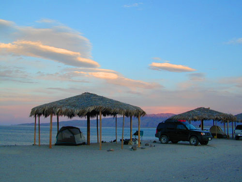
gonzagabay

Gonzaga Bay, Baja California

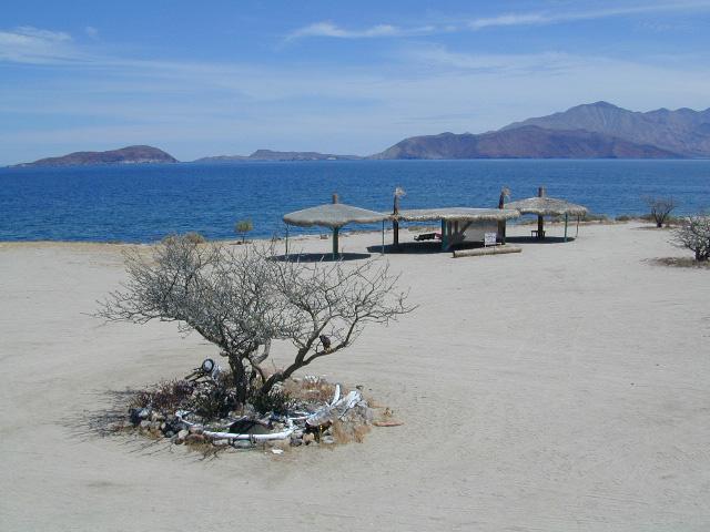
Bay of L.A.

Bay of L.A.(aka Bay of Los Angeles) Baja California

Catavina

DanaMite @ Catavina, B.C. Mexico


Desolation Wilderness Trail Map

Desolation Wilderness Trail Map
Tom Harrison

Desolation Wilderness Trail Map

Desolation Wilderness Map, Tahoe Lake Camping. Lake Tahoe, CA; Tahoe Westside, Loon Lake camping, Lake Aloha, Emerald Bay, Fallen Leaf Lake, DL Bliss State Park, Echo Lake, Velma Lake, Wrights Lake, Rubicon River, Rubicon 4×4 Trail, Rockbound Valley, Tahoe Rim Trail hiking PCT Pacific Crest Trail; Sierra Nevada High Country Tahoe hiking; Durable, waterproof plastic map; Folded. Map Scale: 42.24K; ISBN# 9781877689611

avenza mapsdownload digital version of this map –
Desolation Wilderness Trail Map

Desolation Wilderness Trail Map

Desolation Wilderness on the Westside of Lake Tahoe

Desolation Wilderness Trail Map

Desolation Wilderness Trail Map

NEWER VERSION

Desolation Wilderness is a popular backpacking destination next to Lake Tahoe, with much barren rocky terrain at the edge of the tree line. It has extensive areas of bare granite rock formations. The Tahoe Rim Trail and Pacific Crest Trail pass through the wilderness.

Permits are required for both day use and overnight camping. In the summer, a quota system is used for overnight trips to limit the number of visitors on any given day in the wilderness. Desolation Wilderness is one of the most heavily used protected areas in the United States. This Wilderness area is split up into 45 different zones, with each having a specific permitting quota.

The Crystal Range is within the wilderness area, with Pyramid Peak as the highest point in the range and the wilderness at 9,985 feet in elevation. Among the many waterfalls within the wilderness is Horsetail Falls.

Its largest body of water is Lake Aloha, a reservoir with shallow, clear waters sitting in a wide granite basin carved by glaciers of the last ice age. Many other alpine and wooded lakes of various sizes are scattered throughout the area.


see also –

Crystal Basin Silver Fork Map
Eldorado National Forest Map
Lake Tahoe Books
Lake Tahoe Maps
PCT Map #4 Mid Sierra
PCT Map #5 N Sierra

Emigrant Wilderness Books

Find Emigrant Wilderness Trail Maps

Emigrant Wilderness, Emigrant Trail, Sierra Nevada

Emigrant Wilderness Books


Emigrant Wilderness Books

Emigrant Wilderness Books

California’s Emigrant Wilderness is bordered by Yosemite National Park on the south, the Toiyabe National Forest and the Hoover Wilderness on the east, and Highway 108 over Sonora Pass on the north. It is an elongated area that extends northeast about 25 miles in length and up to 15 miles in width. Watersheds drain to the Stanislaus and Tuolumne Rivers. This area is entirely within Tuolumne County, California and is 50 miles south of Lake Tahoe.

The Emigrant Wilderness is a glaciated landscape of scenic beauty. The northeastern third of the Wilderness is dominated by volcanic ridges and peaks; the remaining areas consist of many sparsely vegetated, granitic ridges interspersed with numerous lakes and meadows.

Elevations range from below 5,000 feet near Cherry Reservoir to 11,570 feet at Leavitt Peak, but the elevation range of most popular areas is 7,500 to 9,000 feet. Precipitation averages 50 inches annually, 80% of it in the form of snow. Snowpacks typically linger into June, sometimes later following very wet winters. Summers are generally dry and mild, but afternoon thundershowers occur periodically and nighttime temperatures could dip below freezing anytime.

From Sonora Pass in the north, the Pacific Crest Trail follows a scenic route at the east edge of the Emigrant Wilderness along the high ridge past Leavitt Peak, turns further east from Kennedy Canyon to Bond Pass, and then heads south down Jack Main Canyon.

Many other trails criss-cross the Emigrant Wilderness, from Leavitt Meadow on the East side, Kennedy Meadow on the West side, and other trailheads. Highlights include cliffs in the Granite Dome area and lakes such as Emigrant Lake, Huckleberry Lake, and Lake Lertoria.

Following the discovery of gold in 1848, large numbers of miners and settlers came to the Sierra and the native cultures quickly declined. In September–October 1852, the Clark-Skidmore party became the first emigrant group to travel the West Walker route over Emigrant Pass, continuing through a portion of the present-day Emigrant Wilderness. Several more emigrant parties were enticed by officials from Sonora to use this route in 1853, but it was a very difficult passage with many hardships and was soon abandoned.

Emigrant Wilderness Books

see also –

Carson Iceberg, Emigrant, Mokelumne Map
Merced & Tuolumne Rivers Map
Stanislaus Forest Atlas
Toiyabe National Forest Map
Yosemite Books
Yosemite Maps by NatGeo
Yosemite Trail Maps by Tom Harrison