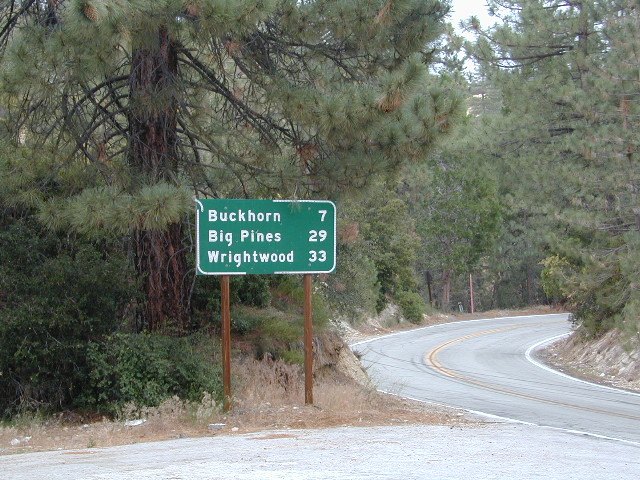
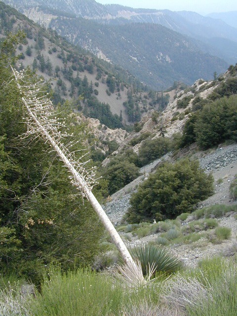
Angeles Crest Hwy 2
Los Angeles Hiking Books


PCT: Pacific Crest Trail Map Angeles
Detailed Map of Baja Mexico
Baja California MX
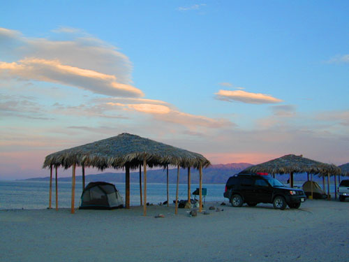
Camping Gonzaga Bay
2021 – New MAP for Baja!!!
Release date MAY 2021 – announcing a brand new atlas for Baja California, created by none-other than Benchmark Maps.

full color, 2 sided, waterproof, tear resistant, topographic maps
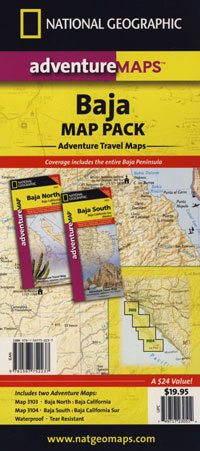
NatGeo Baja Map NORTH
(Baja Norte)
This travel map covers from San Diego down to Bay of LA. Norte map covers the US/Mexico border from Tijuana to Mexicali, including border crossings, as well as Ensenada & Tecate. Inset maps give extensive detail to these areas: The southern side shows Valle de los Cirios, Bahia de los Angeles, Native Rock Paintings of the Sierra de San Francisco and Whale Sanctuary of El Vizcaino.

OLDER VERSION
![]()
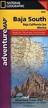
NatGeo Baja Map SOUTH
(Baja Sur)
The sparsely populated southern half of the peninsula has some of the Gulf of California Islands. The southern side covers the state capital La Paz, Cabo San Lucas, San Jose del Cabo, and Todos Santos. Inset maps give extensive detail to some of these popular areas.
OLDER VERSION
![]()

Dining Out in Baja
OLDER EDITION
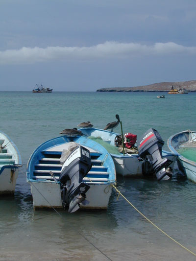
La Paz Coast Baja – Sea of Cortez
see also –
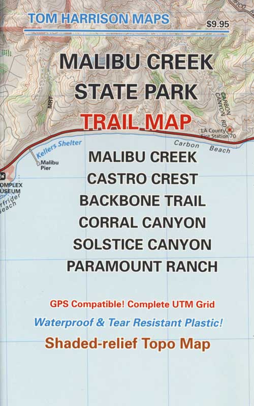
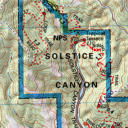
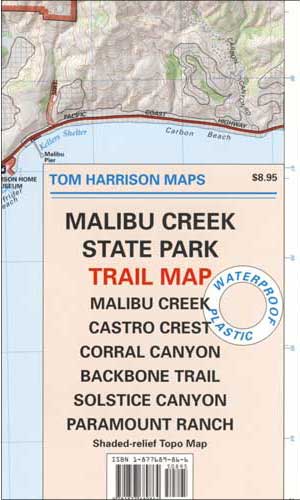
Malibu Creek State Park
Malibu Creek Hiking Map
Tom Harrison Maps
Coastal Los Angeles Hiking Topo Maps
Malibu Hiking Map, Malibu Creek Trail Map. Malibu Creek State Park Map, Malibu California, Malibu Hiking Trails Map; Malibu Creek, Castro Canyon, Backbone Trail Map, Solstice Canyon, Paramount Ranch. Durable, waterproof plastic map; Folded. Map Scale: 31.7K; ISBN# 9781877689864
OLDER EDITION
see also –
Topanga Canyon Map
Zuma Canyon Map
Point Mugu Trail Map
Santa Monica Mountains Map
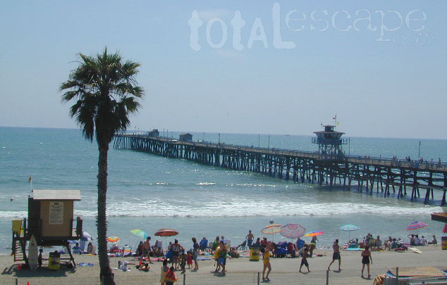
San Clemente Pier & Beach
Orange County is located south of Los Angeles and is the third most populated county in California. Beaches, bike trails and coastal mountains.
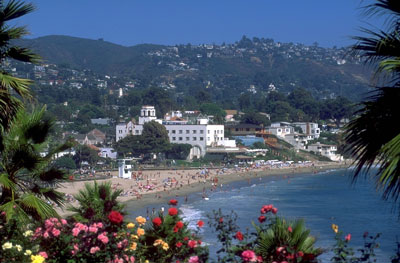
 Home to Disneyland, the O.C. was the orange growing region of Southern California – until the developers took over, turning it into shopping, freeways and large residential neighborhoods we know today. The Orange County beaches are by far the hot spots, with places like San Juan Cap, Dana Point & Laguna Beach. Lots of surf memorabilia & surf culture.
Trains serve the coastal cities daily, so no need to sit in L.A. traffic.


For those seeking campgrounds, hikes, or mountain biking trails, Ortega Highway 74 will lead inland to oak chaparral mountains w/ wilderness. Off roading trails can be found at Wild-O-mar, overlooking Lake Elsinore.

Franko Maps is the company that makes colorful, waterproof, Orange County Maps.
BIKE TRAILS MAP
SURFING MAP OC
DIVE GUIDE
SOUTH COAST WILDERNESS
see also –
Laguna Beach, California


